Pickens, city in South Carolina, United States
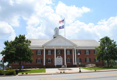
Pickens is a city and county seat of Pickens County in the United States. The town functions as the administrative hub for the surrounding region and contains government buildings and local businesses in its downtown area.
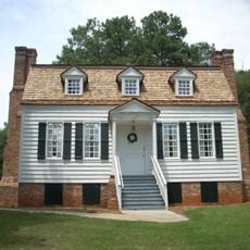
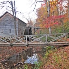
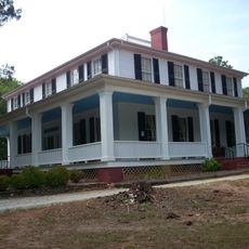
The city was founded in the 19th century and became established as the administrative center for Pickens County. Its growth was tied to local commerce and the region's infrastructure development.
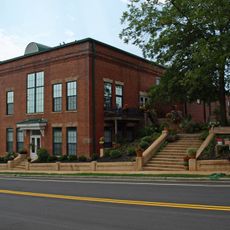
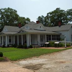
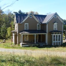
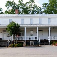
The city is easily accessible and offers basic amenities for visitors including restaurants, shops, and lodging. Walking through the downtown area is a good way to explore the local architecture and community character.
The community of curious travelers
AroundUs brings together thousands of curated places, local tips, and hidden gems, enriched daily by 60,000 contributors worldwide.