Enable Location

We need your location to show you interesting places around you

Discover nearby places

Find interesting locations and hidden gems around you

Precise directions

Get accurate directions and distances to places

Your location is never shared with other users. It's only used when you tap the location button.

Fairfield County

Log in to your account

Start exploring — it's free

Trusted by 62,061 travelers worldwide

Continue with Google
Continue with Apple
or

We will send you a code to connect

By continuing, you accept our Terms and Conditions and our Privacy Policy

Check your inbox

We've sent a pincode in your inbox. Please enter the code below.

Fairfield County, County in South Carolina, United States.

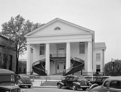
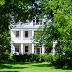
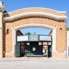
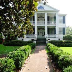
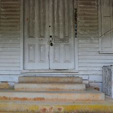
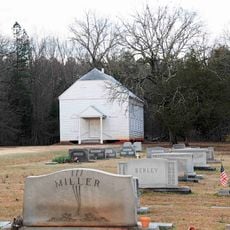
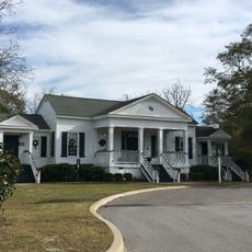
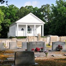
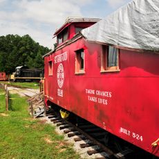
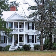
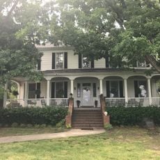
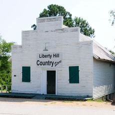
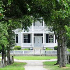
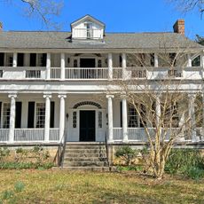
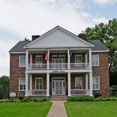
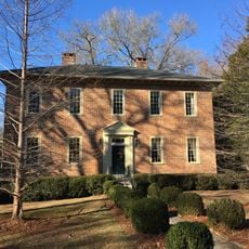
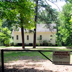
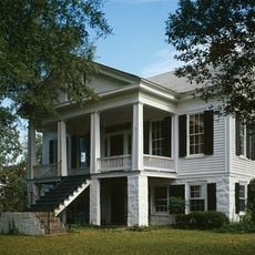
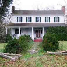
Fairfield County is an administrative division in central South Carolina with a mix of farmland and small urban centers spread throughout. The main settlement area includes Winnsboro, which serves as the county seat with historic buildings and local institutions.

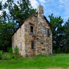
The area was settled by European colonists in the 1760s and saw significant military activity during the American Revolution. The county was formally established in 1785.

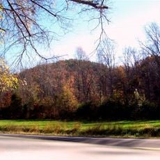
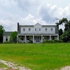
The name Fairfield refers to the fertile fields that early settlers found upon arrival in the area. Agricultural traditions continue to shape how the region looks and functions today.

The county is easily reached via Interstate 77, which connects it to Columbia and Charlotte with good road conditions throughout. Visitors should expect rural areas where distances are greater and public transportation is less frequent.

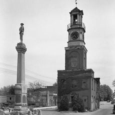
Winnsboro is home to a historic tower clock that has been running continuously since 1837, making it one of the oldest timekeeping devices still in use in the country. This quiet landmark continues to define the town's character.

The community of curious travelers

AroundUs brings together thousands of curated places, local tips, and hidden gems, enriched daily by 60,000 contributors worldwide.

Start exploring
Location
Inception
1785
Capital city
Winnsboro
Shares border with
Chester County, Lancaster County, Kershaw County, Richland County, Newberry County, Union County
GPS coordinates
34.40000,-81.13000
Latest update
December 7, 2025 19:25
Around this place
Monticello Reservoir
United States of America

Monticello Reservoir

21 km
Fonti Flora Plantation
United States of America

Fonti Flora Plantation

19.8 km
Little Mountain
United States of America

Little Mountain

35.3 km
Republic Theatre
United States of America

Republic Theatre

28.8 km
Davis Plantation
United States of America

Davis Plantation

17.3 km
Old Stone House
United States of America

Old Stone House

6.3 km
Furman Institution Faculty Residence
United States of America

Furman Institution Faculty Residence

5.8 km
White Oak Historic District
United States of America

White Oak Historic District

8.3 km
St. John's Lutheran Church
United States of America

St. John's Lutheran Church

27.6 km
George P. Hoffman House
United States of America

George P. Hoffman House

25.2 km
Little River Baptist Church
United States of America

Little River Baptist Church

16.7 km
Rockton and Rion Railroad Historic District
United States of America

Rockton and Rion Railroad Historic District

9.3 km
Pomaria
United States of America

Pomaria

28.6 km
Valencia
United States of America

Valencia

15.7 km
Liberty Hill Historic District
United States of America

Liberty Hill Historic District

31 km
The Oaks
United States of America

The Oaks

6.8 km
Albion
United States of America

Albion

12.1 km
Century House
United States of America

Century House

19.1 km
Blink Bonnie
United States of America

Blink Bonnie

29.3 km
Shivar Springs Bottling Company Cisterns
United States of America

Shivar Springs Bottling Company Cisterns

28.5 km
Great Falls Downtown Historic District
United States of America

Great Falls Downtown Historic District

28.9 km
Kincaid-Anderson House
United States of America

Kincaid-Anderson House

13.7 km
Ridgeway Historic District
United States of America

Ridgeway Historic District

18.7 km
New Hope A.R.P. Church and Session House
United States of America

New Hope A.R.P. Church and Session House

16.2 km
Ruff's Chapel
United States of America

Ruff's Chapel

19.1 km
Tocaland
United States of America

Tocaland

8.5 km
Winnsboro Historic District
United States of America

Winnsboro Historic District

4.6 km
Folk-Holloway House
United States of America

Folk-Holloway House

30.5 km
Show the full map
Administrative divisions
« Fairfield County - County in South Carolina, United States » is provided by Around Us (aroundus.com). Images and texts are derived from Wikimedia project under a Creative Commons license. You are allowed to copy, distribute, and modify copies of this page, under the conditions set by the license, as long as this note is clearly visible.

Discover hidden gems everywhere you go!

From secret cafés to breathtaking viewpoints, skip the crowded tourist spots and find places that match your style. Our app makes it easy with voice search, smart filtering, route optimization, and insider tips from travelers worldwide. Download now for the complete mobile experience.

Around Us App Screenshot

A unique approach to discovering new places

Le Figaro

All the places worth exploring

France Info

A tailor-made excursion in just a few clicks

20 Minutes

Around Us
Travel Guide & Maps
Download

Send to your phone

QR Code
1

Open the camera app on your mobile.

2

Point at the QR code with your camera. A notification will appear.

3

Tap the notification to open the link.