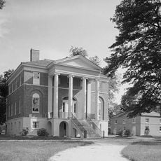
Richland County, County seat in central South Carolina, US
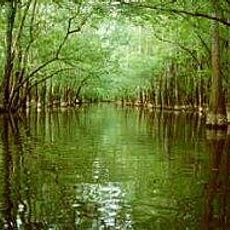
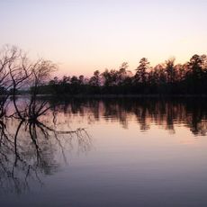
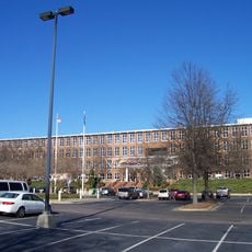
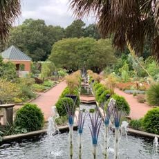
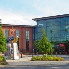
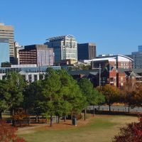
Richland County is an administrative division in central South Carolina that includes the state capital along with several smaller towns. The landscape shifts between urban streets, residential areas, and open spaces crossed by several highways.
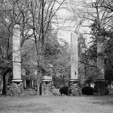
The county formed shortly after the American Revolutionary War when the young capital needed administrative structures. During the Civil War, Union forces destroyed large parts of the region, shaping its later development.
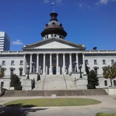
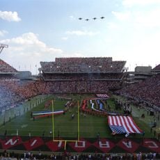
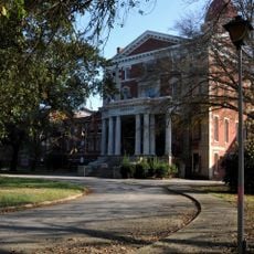
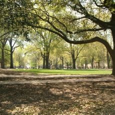
The county takes its name from the rich farmland that drew early settlers, and today campus life blends with government buildings and residential streets around the capital. Students gather in coffee shops near the university, and on game days the area fills with tailgaters and fans heading to the stadium.
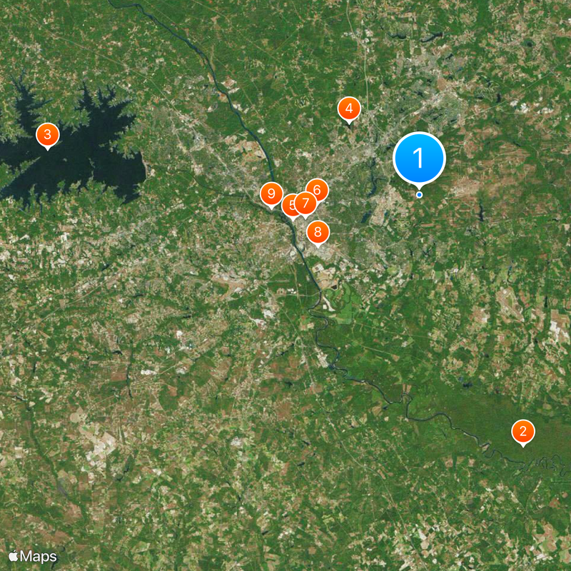
The region covers a broad area with different neighborhoods and smaller towns connected by a network of roads. Visitors should expect to cover longer distances by car, as public transit options remain limited.
A major military installation within the county trains thousands of recruits each year and shapes an important part of the local economy. Many of these soldiers complete their basic training here before being reassigned to other locations.
Location: South Carolina
Inception: March 12, 1785
Capital city: Columbia
Elevation above the sea: 112 m
Shares border with: Fairfield County, Kershaw County, Sumter County, Calhoun County, Lexington County, Newberry County
Website: https://richlandcountysc.gov
GPS coordinates: 34.02180,-80.90304
Latest update: December 13, 2025 17:10
Congaree National Park
28.8 km
Lake Murray
39.6 km
Alcohol and Drug Abuse Lake
10.7 km
Best Friend of Charleston
13.6 km
Benedict College
10.9 km
South Carolina State House
12.2 km
Williams-Brice Stadium
12 km
Riverbanks Zoo
15.7 km
South Carolina Governor's Mansion
13.1 km
Mills Building, South Carolina State Hospital
12 km
Sesquicentennial State Park
7.4 km
South Carolina State Museum
13.6 km
Babcock Building, South Carolina State Hospital
11.8 km
Columbia Speedway
17.6 km
Columbia Museum of Art
12.4 km
First Presbyterian Church (Columbia)
11.9 km
Koger Center for the Arts
12.4 km
Robert Mills House
11.7 km
Capitol Center
12.4 km
Columbia Township Auditorium
11.6 km
Frankie's Fun Park
24.3 km
Riverbanks Botanical Garden
16.5 km
Columbia Canal
14.7 km
Old Campus District, University of South Carolina
11.9 km
Trinity Episcopal Cathedral
12 km
EdVenture
13.7 km
Millwood
6.7 km
Harbison State Forest
22 kmVisited this place? Tap the stars to rate it and share your experience / photos with the community! Try now! You can cancel it anytime.
Discover hidden gems everywhere you go!
From secret cafés to breathtaking viewpoints, skip the crowded tourist spots and find places that match your style. Our app makes it easy with voice search, smart filtering, route optimization, and insider tips from travelers worldwide. Download now for the complete mobile experience.
A unique approach to discovering new places❞
— Le Figaro
All the places worth exploring❞
— France Info
A tailor-made excursion in just a few clicks❞
— 20 Minutes