Enable Location

We need your location to show you interesting places around you

Discover nearby places

Find interesting locations and hidden gems around you

Precise directions

Get accurate directions and distances to places

Your location is never shared with other users. It's only used when you tap the location button.

Columbia

Log in to your account

Start exploring — it's free

Trusted by 61,801 travelers worldwide

Continue with Google
Continue with Apple
or

We will send you a code to connect

By continuing, you accept our Terms and Conditions and our Privacy Policy

Check your inbox

We've sent a pincode in your inbox. Please enter the code below.

Columbia, State capital in South Carolina, US

Description

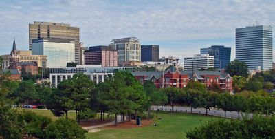
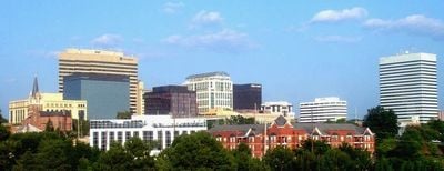
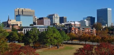
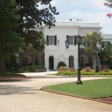
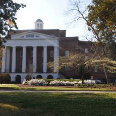
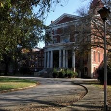
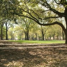
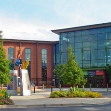
Columbia serves as the capital of South Carolina and sits in a rolling landscape between the Atlantic coast and the Appalachian foothills. The city spreads across several counties where government buildings, university campuses, and residential neighborhoods form tree-lined streets.

History

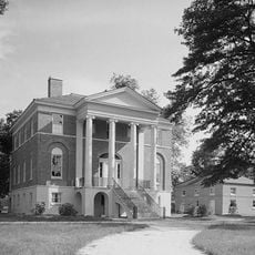
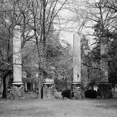
The city was founded in the late 18th century as a new seat of government to bring administration closer to people in the interior. During the Civil War it suffered heavy destruction that still shapes parts of the urban landscape today.

Culture

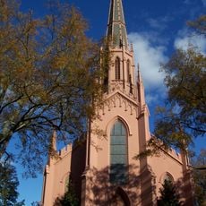
The city hosts festivals throughout the year where locals gather to celebrate southern music and prepare regional dishes. Visitors notice a mix of traditional hospitality and student life in the neighborhoods and public squares.

Practical

The climate brings warm summers and mild winters with occasional rain showers throughout the year. Visitors can move on foot or by bicycle in most neighborhoods while main roads connect the different areas.

Did you know?

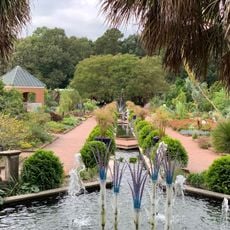
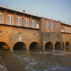
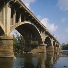
The Congaree River splits into two channels within the city limits and forms small islands that some residents reach by boat. This water landscape shapes the layout of several parks and waterfront paths in the center.
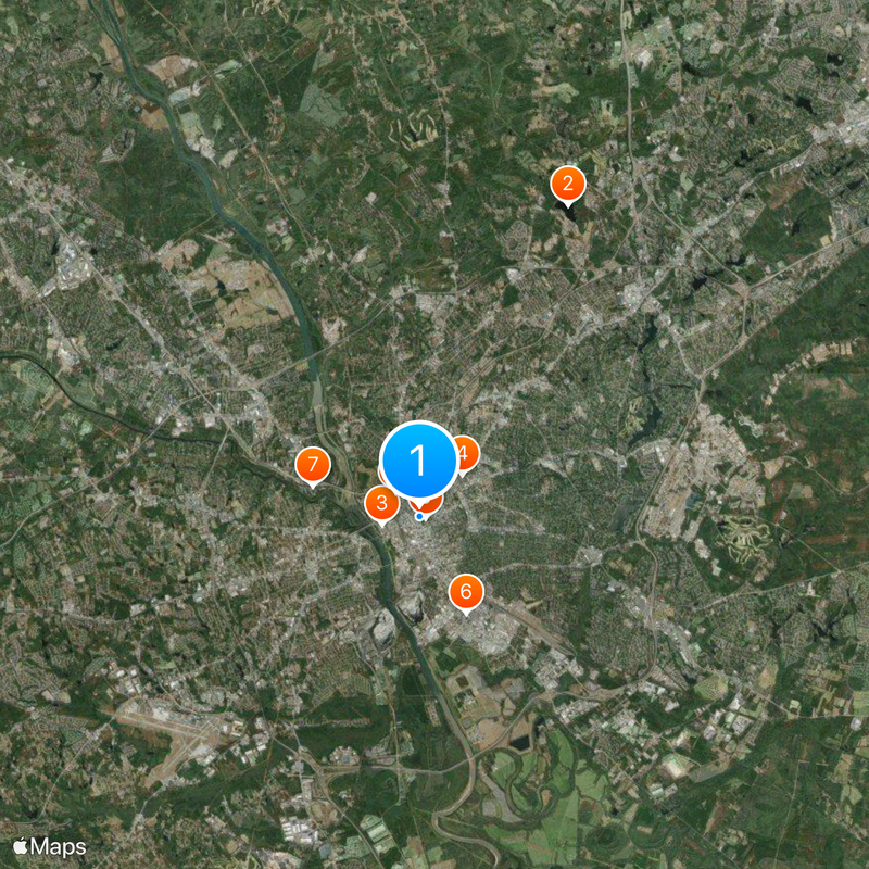
Location
Location
Inception
1787
Elevation above the sea
89 m
Subject
Shares border with
Forest Acres
Address
Columbia, SC, USA
GPS coordinates
34.00075,-81.03523
Latest update
December 14, 2025 20:01

AroundUs brings together thousands of curated places, local tips, and hidden gems, enriched daily by 60,000 contributors worldwide. Discover all places nearby (Richland County).

Around this place
United States of America

Alcohol and Drug Abuse Lake

11.1 km
Best Friend of Charleston
United States of America

Best Friend of Charleston

1.2 km
Benedict College
United States of America

Benedict College

1.9 km
South Carolina State House
United States of America

South Carolina State House

196 m
Williams-Brice Stadium
United States of America

Williams-Brice Stadium

3.4 km
Riverbanks Zoo
United States of America

Riverbanks Zoo

3.6 km
South Carolina Governor's Mansion
United States of America

South Carolina Governor's Mansion

1.1 km
Mills Building, South Carolina State Hospital
United States of America

Mills Building, South Carolina State Hospital

1.5 km
Sesquicentennial State Park
United States of America

Sesquicentennial State Park

15.5 km
South Carolina State Museum
United States of America

South Carolina State Museum

1.2 km
Babcock Building, South Carolina State Hospital
United States of America

Babcock Building, South Carolina State Hospital

1.6 km
United States of America

Columbia Speedway

6.1 km
Columbia Museum of Art
United States of America

Columbia Museum of Art

583 m
First Presbyterian Church (Columbia)
United States of America

First Presbyterian Church (Columbia)

562 m
United States of America

Koger Center for the Arts

626 m
Robert Mills House
United States of America

Robert Mills House

1.1 km
Capitol Center
United States of America

Capitol Center

62 m
Columbia Township Auditorium
United States of America

Columbia Township Auditorium

1.2 km
Frankie's Fun Park
United States of America

Frankie's Fun Park

14.4 km
Riverbanks Botanical Garden
United States of America

Riverbanks Botanical Garden

4.3 km
Columbia Canal
United States of America

Columbia Canal

3.3 km
Old Campus District, University of South Carolina
United States of America

Old Campus District, University of South Carolina

670 m
Trinity Episcopal Cathedral
United States of America

Trinity Episcopal Cathedral

403 m
EdVenture
United States of America

EdVenture

1.3 km
Millwood
United States of America

Millwood

6.9 km
Harbison State Forest
United States of America

Harbison State Forest

13.2 km
Charlie W. Johnson Stadium
United States of America

Charlie W. Johnson Stadium

3 km
Gervais Street Bridge
United States of America

Gervais Street Bridge

1.8 km
Show the full map
« Columbia - State capital in South Carolina, US » is provided by Around Us (aroundus.com). Images and texts are derived from Wikimedia project under a Creative Commons license. You are allowed to copy, distribute, and modify copies of this page, under the conditions set by the license, as long as this note is clearly visible.

Discover hidden gems everywhere you go!

From secret cafés to breathtaking viewpoints, skip the crowded tourist spots and find places that match your style. Our app makes it easy with voice search, smart filtering, route optimization, and insider tips from travelers worldwide. Download now for the complete mobile experience.

Around Us App Screenshot

A unique approach to discovering new places

Le Figaro

All the places worth exploring

France Info

A tailor-made excursion in just a few clicks

20 Minutes

Around Us
Travel Guide & Maps
Download

Send to your phone

QR Code
1

Open the camera app on your mobile.

2

Point at the QR code with your camera. A notification will appear.

3

Tap the notification to open the link.