Enable Location

We need your location to show you interesting places around you

Discover nearby places

Find interesting locations and hidden gems around you

Precise directions

Get accurate directions and distances to places

Your location is never shared with other users. It's only used when you tap the location button.

Anderson County

Log in to your account

Start exploring — it's free

Trusted by travelers worldwide

Continue with Google
Continue with Apple
or

We will send you a code to connect

By continuing, you accept our Terms and Conditions and our Privacy Policy

Check your inbox

We've sent a pincode in your inbox. Please enter the code below.

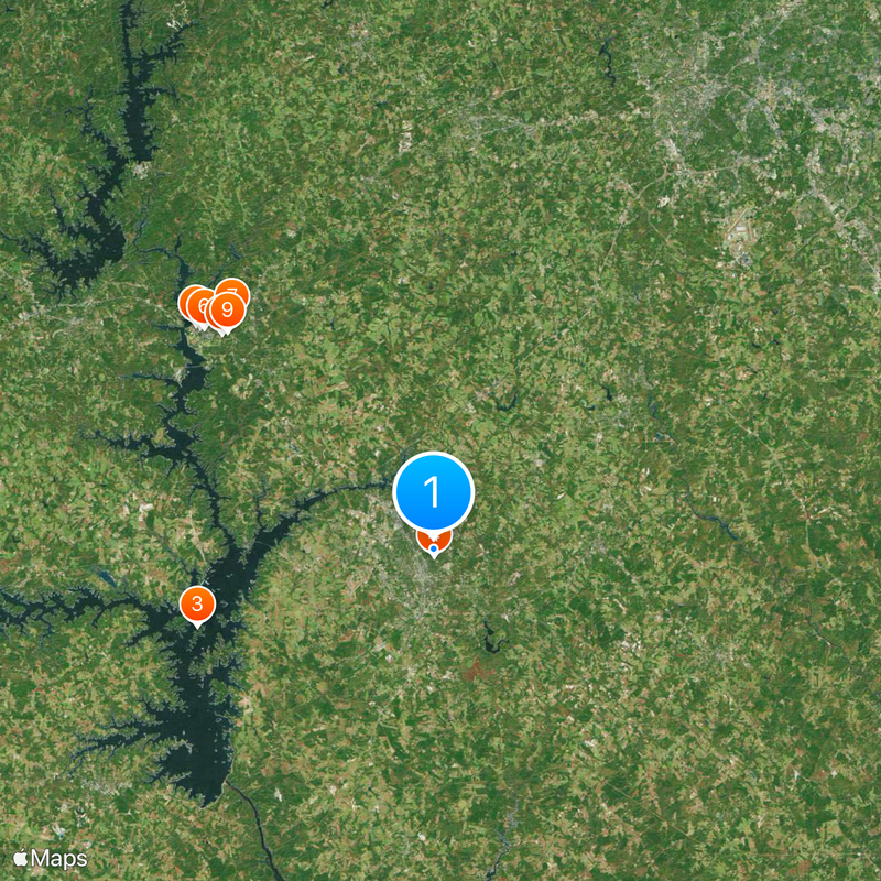
Anderson County, Administrative division in northwestern South Carolina, United States

Description

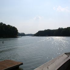
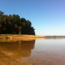
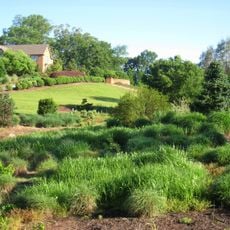
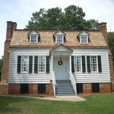
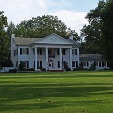
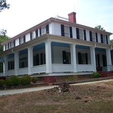
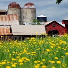
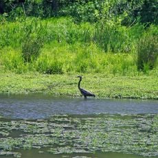
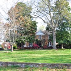
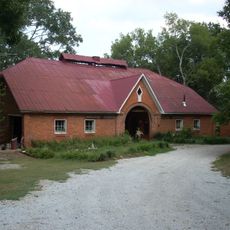
Anderson County is an administrative division in northwestern South Carolina with rolling terrain, numerous waterways, and the scenic Lake Hartwell at its center. The landscape combines developed areas with woodlands and open space.

History

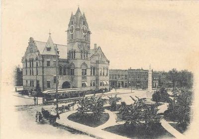
Established in 1826, the county takes its name from Revolutionary War general Robert Anderson. It grew into a significant munitions manufacturing hub during the Civil War era.

Culture

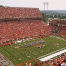
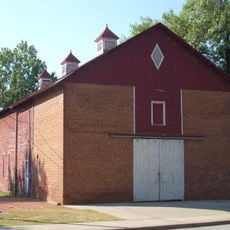
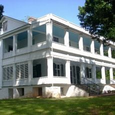
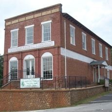
Manufacturing traditions run deep in this South Carolina county, shaping how local communities work and grow together. Family-owned businesses and industrial heritage remain central to the region's identity.

Practical

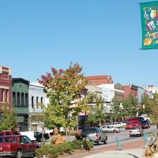
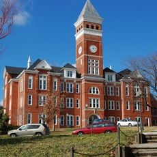
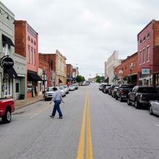
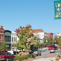
Exploring this county works best by car since it spreads across a large area with attractions and towns spaced throughout. Main towns offer typical services and amenities, while rural areas remain quieter.

Did you know?

The region developed a surprisingly diverse industrial base that extends well beyond its historical ammunition production. Today automotive components, metal goods, and machinery manufacturing are equally important to the local economy.

Location
Inception
December 20, 1826
Capital city
Anderson
Shares border with
Pickens County, Greenville County, Laurens County, Abbeville County, Elbert County, Hart County, Oconee County
GPS coordinates
34.52000,-82.64000
Latest update
December 20, 2025 12:32

AroundUs brings together thousands of curated places, local tips, and hidden gems, enriched daily by 60,000 contributors worldwide. Discover all places nearby (South Carolina).

Around this place
Memorial Stadium, Clemson
United States of America

Memorial Stadium, Clemson

25.7 km
Lake Hartwell
United States of America

Lake Hartwell

19.8 km
Anderson University
United States of America

Anderson University

557 m
Littlejohn Coliseum
United States of America

Littlejohn Coliseum

26 km
Fort Hill
United States of America

Fort Hill

25.3 km
Clemson Experimental Forest
United States of America

Clemson Experimental Forest

24.4 km
South Carolina Botanical Garden
United States of America

South Carolina Botanical Garden

24 km
Hanover House
United States of America

Hanover House

23.8 km
Old Stone Church and Cemetery
United States of America

Old Stone Church and Cemetery

22.7 km
Belton Standpipe
United States of America

Belton Standpipe

13.6 km
United States of America

Sadlers Creek State Park

20.1 km
Clemson College Sheep Barn
United States of America

Clemson College Sheep Barn

24.7 km
President's House
United States of America

President's House

24.8 km
Ashtabula
United States of America

Ashtabula

20.7 km
Anderson Downtown Historic District
United States of America

Anderson Downtown Historic District

2.7 km
Clemson University Historic District I
United States of America

Clemson University Historic District I

25.2 km
United States of America

Walker Golf Course

24.7 km
Denver Downs Farmstead
United States of America

Denver Downs Farmstead

10.2 km
United States of America

Clemson University Historic District II

25.3 km
Woodburn
United States of America

Woodburn

19.6 km
Pendleton Historic District
United States of America

Pendleton Historic District

19.7 km
Conestee Nature Preserve
United States of America

Conestee Nature Preserve

38.6 km
Hopkins Farm
United States of America

Hopkins Farm

33.3 km
Ram Cat Alley Historic District
United States of America

Ram Cat Alley Historic District

34 km
Lee and Lowry Hall
United States of America

Lee and Lowry Hall

25.1 km
Clemson Area African American Museum
United States of America

Clemson Area African American Museum

24.8 km
J. C. Stribling Barn
United States of America

J. C. Stribling Barn

21.8 km
Piedmont Number One
United States of America

Piedmont Number One

26.1 km
Show the full map
Administrative divisions
« Anderson County - Administrative division in northwestern South Carolina, United States » is provided by Around Us (aroundus.com). Images and texts are derived from Wikimedia project under a Creative Commons license. You are allowed to copy, distribute, and modify copies of this page, under the conditions set by the license, as long as this note is clearly visible.

Discover hidden gems everywhere you go!

From secret cafés to breathtaking viewpoints, skip the crowded tourist spots and find places that match your style. Our app makes it easy with voice search, smart filtering, route optimization, and insider tips from travelers worldwide. Download now for the complete mobile experience.

Around Us App Screenshot

A unique approach to discovering new places

Le Figaro

All the places worth exploring

France Info

A tailor-made excursion in just a few clicks

20 Minutes

Around Us
Travel Guide & Maps
Download

Send to your phone

QR Code
1

Open the camera app on your mobile.

2

Point at the QR code with your camera. A notification will appear.

3

Tap the notification to open the link.