Enable Location

We need your location to show you interesting places around you

Discover nearby places

Find interesting locations and hidden gems around you

Precise directions

Get accurate directions and distances to places

Your location is never shared with other users. It's only used when you tap the location button.

Spartanburg County

Log in to your account

Start exploring — it's free

Trusted by 63,014 travelers worldwide

Continue with Google
Continue with Apple
or

We will send you a code to connect

By continuing, you accept our Terms and Conditions and our Privacy Policy

Check your inbox

We've sent a pincode in your inbox. Please enter the code below.

Discussion Reviews 2 Photos
36k Popularity

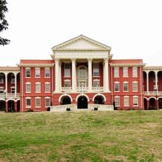
Spartanburg County, Administrative county in South Carolina, United States

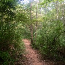
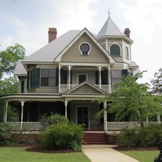
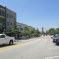
Spartanburg County is an administrative county in northwestern South Carolina covering 819 square miles (2,120 square kilometers). Streams and rolling hills define the landscape throughout the region.

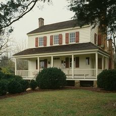
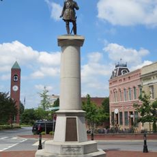
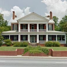
Founded in 1785, the county took its name from the Spartan Regiment, a local militia unit that fought in the American Revolutionary War. This revolutionary heritage became central to the region's identity.

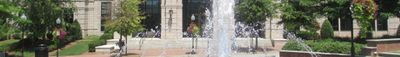
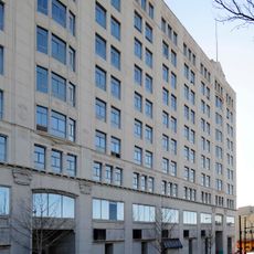
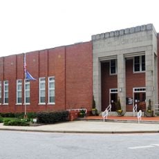
The Chapman Cultural Center serves as the main arts hub, bringing together regional history, art, and science exhibits in one location.

Interstate highways I-85 and I-26 cross through the county, providing direct routes to Charlotte, North Carolina, and Columbia, South Carolina. These major roads make travel within and beyond the region straightforward.

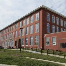
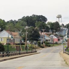
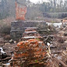
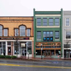
The region contains 13 former textile mills from the industrial era that have been converted into residential spaces while retaining their original architecture. These repurposed structures tell the story of the area's industrial past.

The community of curious travelers

AroundUs brings together thousands of curated places, local tips, and hidden gems, enriched daily by 60,000 contributors worldwide.

Start exploring
Location
Inception
1785
Capital city
Spartanburg
Shares border with
Rutherford County, Cherokee County, Union County, Laurens County, Greenville County, Polk County
GPS coordinates
34.93000,-81.99000
Latest update
December 17, 2025 11:14
Around this place
Wofford College
United States of America

Wofford College

6 km
Walnut Grove Plantation
United States of America

Walnut Grove Plantation

11.9 km
Croft State Park
United States of America

Croft State Park

14.9 km
Gibbs Stadium
United States of America

Gibbs Stadium

6.3 km
Lake Bowen
United States of America

Lake Bowen

20.8 km
Musgrove Mill State Historic Site
United States of America

Musgrove Mill State Historic Site

39.5 km
Daniel Morgan Monument
United States of America

Daniel Morgan Monument

5.6 km
South Carolina School for the Deaf and Blind
United States of America

South Carolina School for the Deaf and Blind

10.1 km
United States of America

Piedmont Interstate Fairgrounds

4.6 km
Montgomery Building
United States of America

Montgomery Building

5.8 km
Drayton Mill
United States of America

Drayton Mill

8.7 km
Splash Pad
United States of America

Splash Pad

12.4 km
HollyWild Animal Park
United States of America

HollyWild Animal Park

17.5 km
Hampton Heights
United States of America

Hampton Heights

5.5 km
Foster's Tavern
United States of America

Foster's Tavern

9.4 km
Fountain Inn High School
United States of America

Fountain Inn High School

32.6 km
Hatcher Garden and Woodland Preserve
United States of America

Hatcher Garden and Woodland Preserve

3 km
Pacolet Mills Historic District
United States of America

Pacolet Mills Historic District

22.6 km
United States of America

Thicketty Mountain

28.7 km
Shiloh Methodist Church
United States of America

Shiloh Methodist Church

13.7 km
Mountain Shoals Plantation
United States of America

Mountain Shoals Plantation

31 km
Price's Post Office
United States of America

Price's Post Office

17.3 km
Jammie Seay House
United States of America

Jammie Seay House

4.4 km
United States of America

Prince's Fort

6.9 km
Pelham Mills Site
United States of America

Pelham Mills Site

23.1 km
Spartanburg Historic District
United States of America

Spartanburg Historic District

5.6 km
Frank Evans High School
United States of America

Frank Evans High School

6.1 km
Shipwreck Cove
United States of America

Shipwreck Cove

14.4 km
Show the full map
Reviews
Share your experience

No review yet

Discussions
Start a discussion...

No discussion yet

Administrative divisions
« Spartanburg County - Administrative county in South Carolina, United States » is provided by Around Us (aroundus.com). Images and texts are derived from Wikimedia project under a Creative Commons license. You are allowed to copy, distribute, and modify copies of this page, under the conditions set by the license, as long as this note is clearly visible.

Discover hidden gems everywhere you go!

From secret cafés to breathtaking viewpoints, skip the crowded tourist spots and find places that match your style. Our app makes it easy with voice search, smart filtering, route optimization, and insider tips from travelers worldwide. Download now for the complete mobile experience.

Around Us App Screenshot

A unique approach to discovering new places

Le Figaro

All the places worth exploring

France Info

A tailor-made excursion in just a few clicks

20 Minutes

Around Us
Travel Guide & Maps
Download

Send to your phone

QR Code
1

Open the camera app on your mobile.

2

Point at the QR code with your camera. A notification will appear.

3

Tap the notification to open the link.