Prince's Fort, Colonial fort in Spartanburg County, South Carolina
Prince's Fort was a circular fortification with walls made from stacked heavy logs reaching approximately 15 feet (4.5 meters) high. The structure featured firing ports positioned throughout the wooden walls to allow defenders to shoot in multiple directions.
Edward Hampton led troops to attack the fort and drive out British forces on July 15, 1780, during the Revolutionary War. This battle marked a significant moment in the struggle for local control during the conflict.
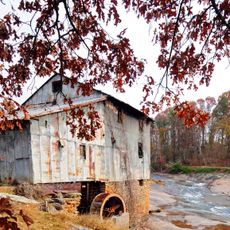
The fort served as a central meeting point where settlers gathered for trade and community needs. It stood near Grays Mill, which provided essential grain milling services that connected people across the region.
The site is accessible from Interstate 85 at Exit 68, followed by local road directions to the location. Visitors should know that the fort is marked primarily by an adjacent cemetery, as the original log fortifications are no longer standing.
The fort appears on the 1858 Geognostic Map of Spartanburg District, documenting its historical importance in early regional cartography. Its location between the North Tyger River and Nazareth Church is clearly marked on this historical map.
The community of curious travelers
AroundUs brings together thousands of curated places, local tips, and hidden gems, enriched daily by 60,000 contributors worldwide.