Enable Location

We need your location to show you interesting places around you

Discover nearby places

Find interesting locations and hidden gems around you

Precise directions

Get accurate directions and distances to places

Your location is never shared with other users. It's only used when you tap the location button.

Union County

Log in to your account

Start exploring — it's free

Trusted by 62,064 travelers worldwide

Continue with Google
Continue with Apple
or

We will send you a code to connect

By continuing, you accept our Terms and Conditions and our Privacy Policy

Check your inbox

We've sent a pincode in your inbox. Please enter the code below.

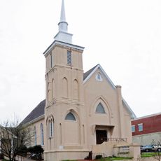
Union County, Administrative county in South Carolina, United States.

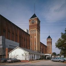
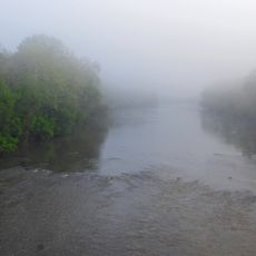
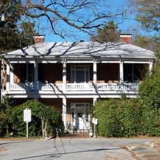
Union County is an administrative county in South Carolina spanning approximately 515 square miles with multiple industrial and residential areas. The Broad River forms a natural boundary and influences the landscape of the region.

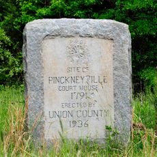
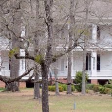
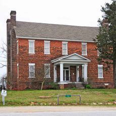
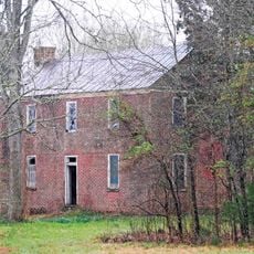
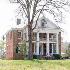
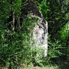
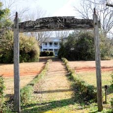
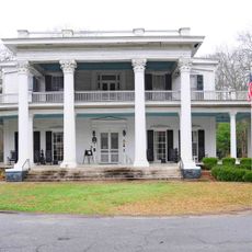
European settlers established their first settlements near Fairforest Creek in 1751. The area transformed from former Cherokee hunting grounds into an agricultural and residential region.

The University of South Carolina at Union serves as a learning hub where students engage with academics and community life together. This institution shapes how the county sees itself and its future.

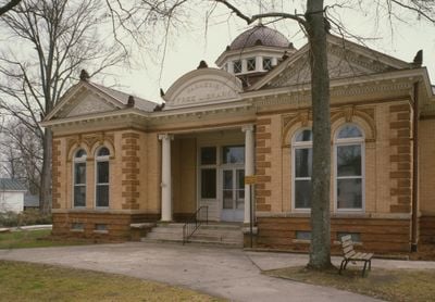
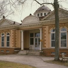
The county government office is located in Union and provides services to residents including tax collection and election administration. Visitors can get information about local matters and submit applications there.

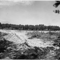
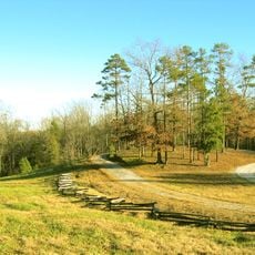
During the Civil War, the area remained largely untouched because flooding from the Broad River prevented Sherman's troops from advancing through it. This geographic isolation protected the region from major war destruction.

The community of curious travelers

AroundUs brings together thousands of curated places, local tips, and hidden gems, enriched daily by 60,000 contributors worldwide.

Start exploring
Location
Inception
1798
Capital city
Union
Shares border with
Cherokee County, York County, Chester County, Fairfield County, Newberry County, Laurens County, Spartanburg County
GPS coordinates
34.69000,-81.62000
Latest update
December 7, 2025 19:25
Around this place
Sumter National Forest
United States of America

Sumter National Forest

14.6 km
Croft State Park
United States of America

Croft State Park

28.9 km
Rose Hill Plantation State Historic Site
United States of America

Rose Hill Plantation State Historic Site

10.3 km
Pinckneyville
United States of America

Pinckneyville

24.1 km
Corinth Baptist Church
United States of America

Corinth Baptist Church

3 km
Woodland Plantation
United States of America

Woodland Plantation

13.6 km
Buffalo Mill Historic District
United States of America

Buffalo Mill Historic District

6.4 km
Battle of Blackstock's Historic Site
United States of America

Battle of Blackstock's Historic Site

17.7 km
Cross Keys House
United States of America

Cross Keys House

15.4 km
Means House
United States of America

Means House

15.9 km
McCollum Mound
United States of America

McCollum Mound

17.3 km
Nathaniel Gist House
United States of America

Nathaniel Gist House

13.1 km
Shivar Springs Bottling Company Cisterns
United States of America

Shivar Springs Bottling Company Cisterns

28.9 km
Camp Hill, Glenn Springs, South Carolina
United States of America

Camp Hill, Glenn Springs, South Carolina

21.1 km
McCollum Fish Weir
United States of America

McCollum Fish Weir

20.9 km
Merridun
United States of America

Merridun

3.4 km
Cedar Bluff
United States of America

Cedar Bluff

11.6 km
Judge Thomas Dawkins House
United States of America

Judge Thomas Dawkins House

3.2 km
Gov. Thomas B. Jeter House
United States of America

Gov. Thomas B. Jeter House

3.6 km
Hillside
United States of America

Hillside

16.4 km
Meng House
United States of America

Meng House

3.2 km
McWhirter House
United States of America

McWhirter House

16.9 km
Culp House
United States of America

Culp House

3.3 km
Glenn Springs Historic District
United States of America

Glenn Springs Historic District

23.9 km
Herndon Terrace
United States of America

Herndon Terrace

3.9 km
William Dixon Fowler House
United States of America

William Dixon Fowler House

24.3 km
Union Downtown Historic District
United States of America

Union Downtown Historic District

2.8 km
South Street-South Church Street Historic District
United States of America

South Street-South Church Street Historic District

2.5 km
Show the full map
Administrative divisions
« Union County - Administrative county in South Carolina, United States » is provided by Around Us (aroundus.com). Images and texts are derived from Wikimedia project under a Creative Commons license. You are allowed to copy, distribute, and modify copies of this page, under the conditions set by the license, as long as this note is clearly visible.

Discover hidden gems everywhere you go!

From secret cafés to breathtaking viewpoints, skip the crowded tourist spots and find places that match your style. Our app makes it easy with voice search, smart filtering, route optimization, and insider tips from travelers worldwide. Download now for the complete mobile experience.

Around Us App Screenshot

A unique approach to discovering new places

Le Figaro

All the places worth exploring

France Info

A tailor-made excursion in just a few clicks

20 Minutes

Around Us
Travel Guide & Maps
Download

Send to your phone

QR Code
1

Open the camera app on your mobile.

2

Point at the QR code with your camera. A notification will appear.

3

Tap the notification to open the link.