Enable Location

We need your location to show you interesting places around you

Discover nearby places

Find interesting locations and hidden gems around you

Precise directions

Get accurate directions and distances to places

Your location is never shared with other users. It's only used when you tap the location button.

Pinckneyville

Log in to your account

Start exploring — it's free

Trusted by 62,063 travelers worldwide

Continue with Google
Continue with Apple
or

We will send you a code to connect

By continuing, you accept our Terms and Conditions and our Privacy Policy

Check your inbox

We've sent a pincode in your inbox. Please enter the code below.

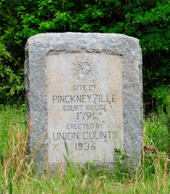
Pinckneyville, Archaeological settlement in Union County, South Carolina.

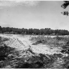
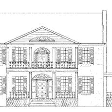
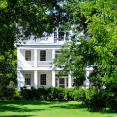
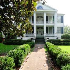
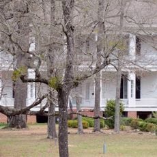
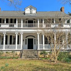
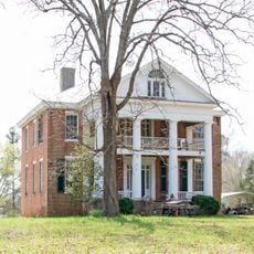
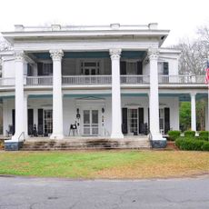
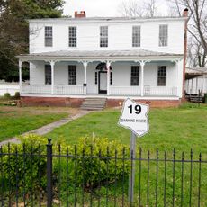
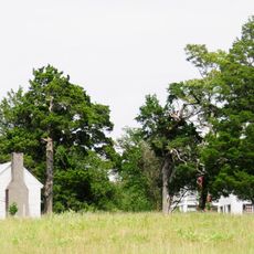
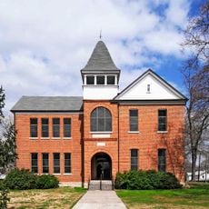
Pinckneyville is an archaeological site spanning roughly 1.8 acres in Union County, South Carolina, containing remains of two brick structures. The location includes a former store building with original interior elements and architectural features from its founding period.

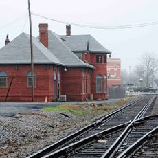
The site was founded in 1791 through an act of the South Carolina General Assembly and served as a judicial center for expanding backcountry settlements. Its establishment reflected the need to extend legal administration into the interior regions.

The settlement served as a key point in South Carolina's legal development, marking a shift from centralized courts in Charleston to district-based judicial systems. The location reflects how communities shaped the organization of justice across the region.

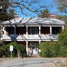
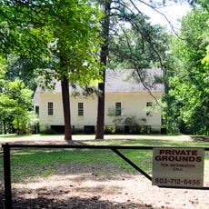
The site has limited public access due to private ownership of most structures and restrictions listed on the National Register. Advance inquiry is recommended before visiting to confirm availability and conditions.

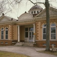
The old store building preserves original features such as wainscoting, fireplace, mantel, and decorative molding, suggesting it may have served government purposes. These details hint that the structure functioned as more than a simple commercial space.

The community of curious travelers

AroundUs brings together thousands of curated places, local tips, and hidden gems, enriched daily by 60,000 contributors worldwide.

Start exploring
Location
GPS coordinates
34.51220,-81.46940
Latest update
December 14, 2025 09:41
Around this place
Sumter National Forest
United States of America

Sumter National Forest

22.7 km
Rose Hill Plantation State Historic Site
United States of America

Rose Hill Plantation State Historic Site

20.8 km
Monticello Reservoir
United States of America

Monticello Reservoir

26.4 km
Fonti Flora Plantation
United States of America

Fonti Flora Plantation

16.7 km
Davis Plantation
United States of America

Davis Plantation

20.6 km
Corinth Baptist Church
United States of America

Corinth Baptist Church

26.8 km
Woodland Plantation
United States of America

Woodland Plantation

12.6 km
Albion
United States of America

Albion

21.7 km
Nathaniel Gist House
United States of America

Nathaniel Gist House

21 km
Shivar Springs Bottling Company Cisterns
United States of America

Shivar Springs Bottling Company Cisterns

5.2 km
McCollum Fish Weir
United States of America

McCollum Fish Weir

10.3 km
New Hope A.R.P. Church and Session House
United States of America

New Hope A.R.P. Church and Session House

20.5 km
Merridun
United States of America

Merridun

27.4 km
Judge Thomas Dawkins House
United States of America

Judge Thomas Dawkins House

26.8 km
Gov. Thomas B. Jeter House
United States of America

Gov. Thomas B. Jeter House

27.4 km
Meng House
United States of America

Meng House

27 km
Hillside
United States of America

Hillside

9.9 km
Hatton House
United States of America

Hatton House

27.3 km
Balwearie
United States of America

Balwearie

22.1 km
Culp House
United States of America

Culp House

27 km
Dr. Walter Brice House and Office
United States of America

Dr. Walter Brice House and Office

20.7 km
Union Downtown Historic District
United States of America

Union Downtown Historic District

26.6 km
South Street-South Church Street Historic District
United States of America

South Street-South Church Street Historic District

26.4 km
Central Graded School
United States of America

Central Graded School

26.8 km
Clinton Chapel AME Zion Church
United States of America

Clinton Chapel AME Zion Church

26.7 km
Colvin-Fant-Durham Farm Complex
United States of America

Colvin-Fant-Durham Farm Complex

20.5 km
East Main Street-Douglass Heights Historic District
United States of America

East Main Street-Douglass Heights Historic District

26.4 km
Liberty Universalist Church and Feasterville Academy Historic District
United States of America

Liberty Universalist Church and Feasterville Academy Historic District

10.1 km
Show the full map
« Pinckneyville - Archaeological settlement in Union County, South Carolina » is provided by Around Us (aroundus.com). Images and texts are derived from Wikimedia project under a Creative Commons license. You are allowed to copy, distribute, and modify copies of this page, under the conditions set by the license, as long as this note is clearly visible.

Discover hidden gems everywhere you go!

From secret cafés to breathtaking viewpoints, skip the crowded tourist spots and find places that match your style. Our app makes it easy with voice search, smart filtering, route optimization, and insider tips from travelers worldwide. Download now for the complete mobile experience.

Around Us App Screenshot

A unique approach to discovering new places

Le Figaro

All the places worth exploring

France Info

A tailor-made excursion in just a few clicks

20 Minutes

Around Us
Travel Guide & Maps
Download

Send to your phone

QR Code
1

Open the camera app on your mobile.

2

Point at the QR code with your camera. A notification will appear.

3

Tap the notification to open the link.