Enable Location

We need your location to show you interesting places around you

Discover nearby places

Find interesting locations and hidden gems around you

Precise directions

Get accurate directions and distances to places

Your location is never shared with other users. It's only used when you tap the location button.

Buffalo Mill Historic District

Log in to your account

Start exploring — it's free

Trusted by 62,066 travelers worldwide

Continue with Google
Continue with Apple
or

We will send you a code to connect

By continuing, you accept our Terms and Conditions and our Privacy Policy

Check your inbox

We've sent a pincode in your inbox. Please enter the code below.

Buffalo Mill Historic District, Historic textile mill district in Union County, United States.

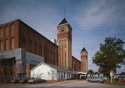
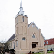
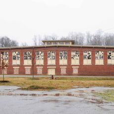
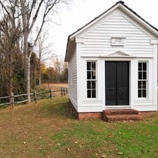
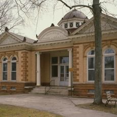
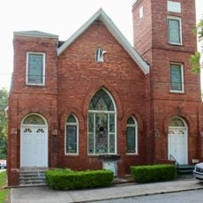
Buffalo Mill Historic District is a textile factory area with around 190 buildings from the industrial period, including the main factory, administrative offices, a power plant, ice factory, and retail store. The layout shows the complete setup of a factory town, from production facilities to residential areas.

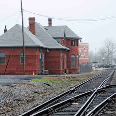
The factory was established in 1929 and followed the typical pattern of American textile manufacturing of that period. Architect W.B. Smith Whaley shaped the design with Romanesque elements, a style that gave character to many factory buildings of that era.

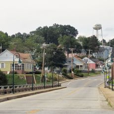
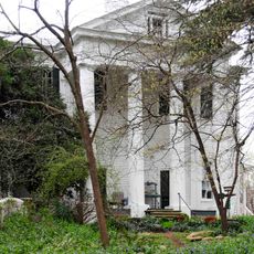
The mill village formed a self-contained community where workers lived in company-provided housing and shopped at the company store near their jobs. This setup shows how manufacturers created entire neighborhoods to keep workers close and dependent on the factory.

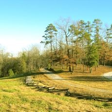
The grounds spread across a large area with many historic buildings that can be explored on foot, though visitors should allow time to see everything. The best approach is to walk slowly through the village and view each house and building to understand the overall layout.

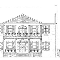
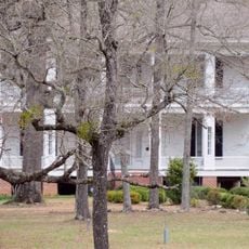
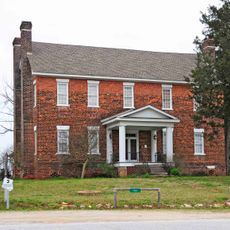
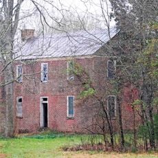
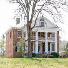
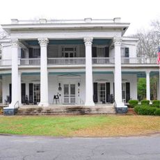
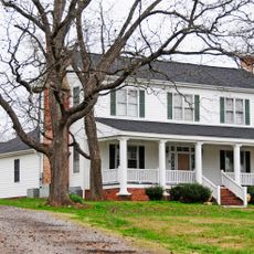
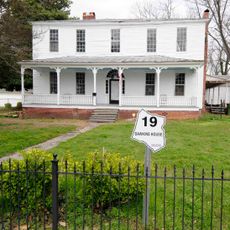
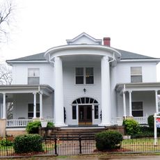
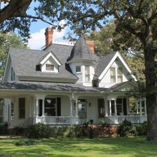
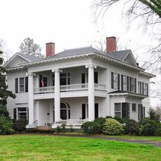
The area clearly shows the social hierarchy of that time through its buildings: elegant Queen Anne homes for supervisors stand beside simple bungalows for workers. This spatial separation was a deliberate system that reflected the factory's power structure.

The community of curious travelers

AroundUs brings together thousands of curated places, local tips, and hidden gems, enriched daily by 60,000 contributors worldwide.

Start exploring
Location
GPS coordinates
34.72310,-81.67750
Latest update
December 14, 2025 18:12
Around this place
Sumter National Forest
United States of America

Sumter National Forest

16.3 km
Croft State Park
United States of America

Croft State Park

22.6 km
Rose Hill Plantation State Historic Site
United States of America

Rose Hill Plantation State Historic Site

13.2 km
Pacolet Mills Historic District
United States of America

Pacolet Mills Historic District

22.7 km
Corinth Baptist Church
United States of America

Corinth Baptist Church

4.9 km
Woodland Plantation
United States of America

Woodland Plantation

20.1 km
Battle of Blackstock's Historic Site
United States of America

Battle of Blackstock's Historic Site

13.3 km
Cross Keys House
United States of America

Cross Keys House

13.3 km
Means House
United States of America

Means House

10.2 km
McCollum Mound
United States of America

McCollum Mound

21 km
Nathaniel Gist House
United States of America

Nathaniel Gist House

18.4 km
Camp Hill, Glenn Springs, South Carolina
United States of America

Camp Hill, Glenn Springs, South Carolina

14.7 km
Merridun
United States of America

Merridun

4.4 km
Cedar Bluff
United States of America

Cedar Bluff

9 km
Judge Thomas Dawkins House
United States of America

Judge Thomas Dawkins House

5.2 km
McWhirter House
United States of America

McWhirter House

12.3 km
Meng House
United States of America

Meng House

5 km
Gov. Thomas B. Jeter House
United States of America

Gov. Thomas B. Jeter House

4.6 km
Pacolet Mills Cloth Room and Warehouse
United States of America

Pacolet Mills Cloth Room and Warehouse

22.7 km
Culp House
United States of America

Culp House

5.1 km
Glenn Springs Historic District
United States of America

Glenn Springs Historic District

17.4 km
Herndon Terrace
United States of America

Herndon Terrace

4.4 km
William Dixon Fowler House
United States of America

William Dixon Fowler House

17.9 km
Union Downtown Historic District
United States of America

Union Downtown Historic District

5.1 km
South Street-South Church Street Historic District
United States of America

South Street-South Church Street Historic District

5 km
Central Graded School
United States of America

Central Graded School

5.2 km
Clinton Chapel AME Zion Church
United States of America

Clinton Chapel AME Zion Church

4.8 km
East Main Street-Douglass Heights Historic District
United States of America

East Main Street-Douglass Heights Historic District

5.7 km
Show the full map
« Buffalo Mill Historic District - Historic textile mill district in Union County, United States » is provided by Around Us (aroundus.com). Images and texts are derived from Wikimedia project under a Creative Commons license. You are allowed to copy, distribute, and modify copies of this page, under the conditions set by the license, as long as this note is clearly visible.

Discover hidden gems everywhere you go!

From secret cafés to breathtaking viewpoints, skip the crowded tourist spots and find places that match your style. Our app makes it easy with voice search, smart filtering, route optimization, and insider tips from travelers worldwide. Download now for the complete mobile experience.

Around Us App Screenshot

A unique approach to discovering new places

Le Figaro

All the places worth exploring

France Info

A tailor-made excursion in just a few clicks

20 Minutes

Around Us
Travel Guide & Maps
Download

Send to your phone

QR Code
1

Open the camera app on your mobile.

2

Point at the QR code with your camera. A notification will appear.

3

Tap the notification to open the link.