Enable Location

We need your location to show you interesting places around you

Discover nearby places

Find interesting locations and hidden gems around you

Precise directions

Get accurate directions and distances to places

Your location is never shared with other users. It's only used when you tap the location button.

Chester County

Log in to your account

Start exploring — it's free

Trusted by 63,666 travelers worldwide

Continue with Google
Continue with Apple
or

We will send you a code to connect

By continuing, you accept our Terms and Conditions and our Privacy Policy

Check your inbox

We've sent a pincode in your inbox. Please enter the code below.

Discussion Reviews 1 Photos
17.1k Popularity

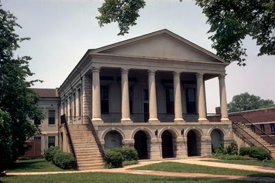
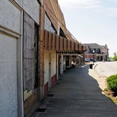
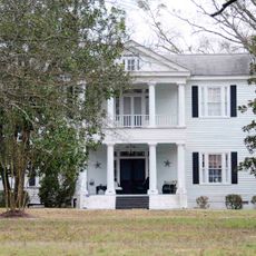
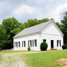
Chester County, Administrative county in South Carolina, US

Chester County is an administrative division in South Carolina spanning roughly 586 square miles (1,518 square kilometers). Interstate 77 runs through the area, connecting local communities to larger metropolitan centers nearby.

The area was established in 1785 and named after Chester, Pennsylvania, reflecting ties between early settlers from that region and their new home. This naming choice shows the connections between communities during South Carolina's territorial organization.

The Chester County Citizens Academy educates local residents about government operations through regular workshops and community engagement programs.

The county council meets on the first and third Mondays of each month at 6:00 PM in the administrative building and welcomes public attendance. Visitors can check ahead to learn which topics will be discussed if they want to attend specific meetings.

The county has developed economic partnerships with major companies like E & J Gallo Winery and GITI, which operate in manufacturing and agricultural sectors. These connections have brought employment opportunities to local residents over several decades.

The community of curious travelers

AroundUs brings together thousands of curated places, local tips, and hidden gems, enriched daily by 60,000 contributors worldwide.

Start exploring
Location
Inception
1785
Capital city
Chester
Shares border with
York County, Lancaster County, Fairfield County, Union County
GPS coordinates
34.69000,-81.16000
Latest update
December 7, 2025 19:25
Around this place
Landsford Canal State Park
United States of America

Landsford Canal State Park

28 km
Brattonsville Historic District
United States of America

Brattonsville Historic District

19.9 km
Thornwell Orphanage
United States of America

Thornwell Orphanage

22.4 km
Republic Theatre
United States of America

Republic Theatre

28.3 km
Catholic Presbyterian Church
United States of America

Catholic Presbyterian Church

15.3 km
White Oak Historic District
United States of America

White Oak Historic District

24.4 km
Landsford Plantation House
United States of America

Landsford Plantation House

25 km
Camp Welfare
United States of America

Camp Welfare

29.4 km
Albion
United States of America

Albion

27.1 km
McCollum Mound
United States of America

McCollum Mound

27.9 km
Nathaniel Gist House
United States of America

Nathaniel Gist House

29.1 km
Kumler Hall
United States of America

Kumler Hall

3.3 km
Great Falls Downtown Historic District
United States of America

Great Falls Downtown Historic District

28.2 km
McCollum Fish Weir
United States of America

McCollum Fish Weir

26.2 km
Hermon Presbyterian Church
United States of America

Hermon Presbyterian Church

28.4 km
Chester City Hall and Opera House
United States of America

Chester City Hall and Opera House

5.1 km
Chester Historic District
United States of America

Chester Historic District

5.3 km
Marion Street Area Historic District
United States of America

Marion Street Area Historic District

28.3 km
New Hope A.R.P. Church and Session House
United States of America

New Hope A.R.P. Church and Session House

21.6 km
Hillside
United States of America

Hillside

30.7 km
Concord Presbyterian Church
United States of America

Concord Presbyterian Church

18.5 km
Balwearie
United States of America

Balwearie

27.9 km
Catawba Rosenwald School
United States of America

Catawba Rosenwald School

26 km
Dr. Walter Brice House and Office
United States of America

Dr. Walter Brice House and Office

22 km
People's Free Library of South Carolina
United States of America

People's Free Library of South Carolina

14.8 km
James Phinney House
United States of America

James Phinney House

9.1 km
Colvin-Fant-Durham Farm Complex
United States of America

Colvin-Fant-Durham Farm Complex

15.3 km
Liberty Universalist Church and Feasterville Academy Historic District
United States of America

Liberty Universalist Church and Feasterville Academy Historic District

27.7 km
Show the full map
Reviews
Share your experience

No review yet

Discussions
Start a discussion...

No discussion yet

Administrative divisions
« Chester County - Administrative county in South Carolina, US » is provided by Around Us (aroundus.com). Images and texts are derived from Wikimedia project under a Creative Commons license. You are allowed to copy, distribute, and modify copies of this page, under the conditions set by the license, as long as this note is clearly visible.

Discover hidden gems everywhere you go!

From secret cafés to breathtaking viewpoints, skip the crowded tourist spots and find places that match your style. Our app makes it easy with voice search, smart filtering, route optimization, and insider tips from travelers worldwide. Download now for the complete mobile experience.

Around Us App Screenshot

A unique approach to discovering new places

Le Figaro

All the places worth exploring

France Info

A tailor-made excursion in just a few clicks

20 Minutes

Around Us
Travel Guide & Maps
Download

Send to your phone

QR Code
1

Open the camera app on your mobile.

2

Point at the QR code with your camera. A notification will appear.

3

Tap the notification to open the link.