·

Enable Location

We need your location to show you interesting places around you

Discover nearby places

Find interesting locations and hidden gems around you

Precise directions

Get accurate directions and distances to places

Your location is never shared with other users. It's only used when you tap the location button.

Kershaw County

Log in to your account

Start exploring — it's free

Trusted by 62,664 travelers worldwide

Continue with Google
Continue with Apple
or

We will send you a code to connect

By continuing, you accept our Terms and Conditions and our Privacy Policy

Check your inbox

We've sent a pincode in your inbox. Please enter the code below.

Kershaw County, Administrative division in South Carolina, United States.

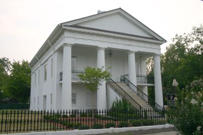
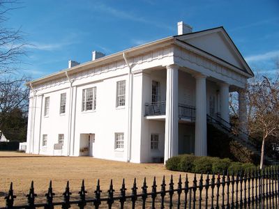
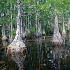
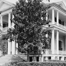
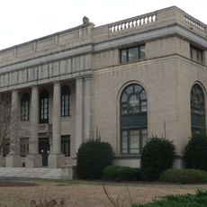
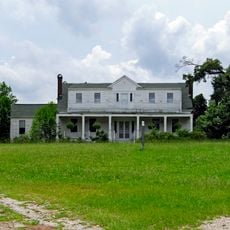
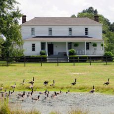
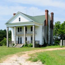
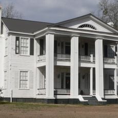
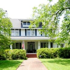
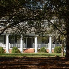
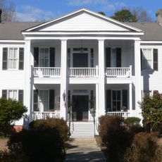
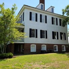
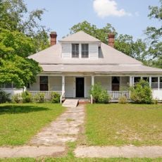
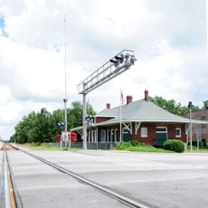
Kershaw County is located in central South Carolina and extends across a large area that includes Lake Wateree along the Wateree River. The county seat of Camden serves as the administrative center and connects the region through major routes to other parts of the state.

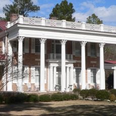
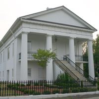
The county was established in 1791 and soon became a significant location during the American Revolution. British forces occupied the region temporarily, leaving their mark on the area's development.

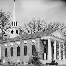
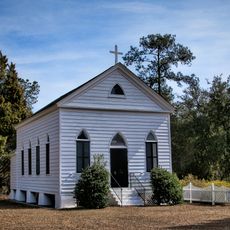
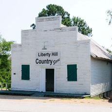
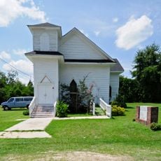
Welsh Baptist settlers arrived in large numbers during the 1740s and established meeting houses that shaped the region's religious identity. These early congregations left lasting marks on local traditions and how people here understand their heritage.

The region is easily accessible via Interstate 20 and several US highways that connect visitors to larger urban areas. Visitors will find good infrastructure with accommodations and dining options available in Camden and surrounding communities.

Between 2020 and 2023, the area experienced a series of earthquakes, with several events exceeding magnitude 3.0. This seismic activity was unusual for the region and attracted scientific attention.

The community of curious travelers

AroundUs brings together thousands of curated places, local tips, and hidden gems, enriched daily by 60,000 contributors worldwide.

Start exploring
Location
Inception
1798
Capital city
Camden
Shares border with
Lancaster County, Chesterfield County, Darlington County, Lee County, Sumter County, Richland County, Fairfield County
GPS coordinates
34.34000,-80.59000
Latest update
December 7, 2025 10:06
Around this place
Mulberry Plantation
United States of America

Mulberry Plantation

14.9 km
Camden Battlefield
United States of America

Camden Battlefield

1.8 km
Goodale State Park
United States of America

Goodale State Park

8.7 km
Cool Springs
United States of America

Cool Springs

5.5 km
Bethesda Presbyterian Church
United States of America

Bethesda Presbyterian Church

10.5 km
Boykin Mill Complex
United States of America

Boykin Mill Complex

23.6 km
St. Philip's Episcopal Church
United States of America

St. Philip's Episcopal Church

30.3 km
Mount Carmel A.M.E. Zion Campground
United States of America

Mount Carmel A.M.E. Zion Campground

33.4 km
City of Camden Historic District
United States of America

City of Camden Historic District

10.5 km
Kendall Mill Historic District
United States of America

Kendall Mill Historic District

9 km
Lee County Courthouse
United States of America

Lee County Courthouse

34.2 km
Liberty Hill Historic District
United States of America

Liberty Hill Historic District

24.5 km
Zachariah Cantey House
United States of America

Zachariah Cantey House

19.4 km
William Rogers House
United States of America

William Rogers House

33.5 km
Blink Bonnie
United States of America

Blink Bonnie

21.2 km
The Manor
United States of America

The Manor

34.6 km
Dennis High School
United States of America

Dennis High School

34 km
Thomas English House
United States of America

Thomas English House

19.3 km
Russell-Heath House
United States of America

Russell-Heath House

26.2 km
Clinton AME Zion Church
United States of America

Clinton AME Zion Church

23.3 km
Dr. William Columbus Cauthen House
United States of America

Dr. William Columbus Cauthen House

24.4 km
Spencer House
United States of America

Spencer House

34.7 km
Matson Street Historic District
United States of America

Matson Street Historic District

23.2 km
Thomas Fraser House
United States of America

Thomas Fraser House

33.4 km
James Carnes House
United States of America

James Carnes House

34 km
Historic Camden Revolutionary War
United States of America

Historic Camden Revolutionary War

11.9 km
East Richland Street-East Church Street Historic District
United States of America

East Richland Street-East Church Street Historic District

23.5 km
Seaboard Air Line Railway Depot in McBee
United States of America

Seaboard Air Line Railway Depot in McBee

33.8 km
Show the full map
Administrative divisions
« Kershaw County - Administrative division in South Carolina, United States » is provided by Around Us (aroundus.com). Images and texts are derived from Wikimedia project under a Creative Commons license. You are allowed to copy, distribute, and modify copies of this page, under the conditions set by the license, as long as this note is clearly visible.

Discover hidden gems everywhere you go!

From secret cafés to breathtaking viewpoints, skip the crowded tourist spots and find places that match your style. Our app makes it easy with voice search, smart filtering, route optimization, and insider tips from travelers worldwide. Download now for the complete mobile experience.

Around Us App Screenshot

A unique approach to discovering new places

Le Figaro

All the places worth exploring

France Info

A tailor-made excursion in just a few clicks

20 Minutes

Around Us
Travel Guide & Maps
Download

Send to your phone

QR Code
1

Open the camera app on your mobile.

2

Point at the QR code with your camera. A notification will appear.

3

Tap the notification to open the link.