Chest opened
+${chestReward.xp} XP
Explorer
NOUVEAU ×${chestReward.collectible.quantity}
tapez pour fermer

See the monuments around you in AR Open chests in the app

Around Us is built for your phone — point your camera at the streets and discover the monuments and places around you in augmented reality. Around Us is built for your phone — chests unlock when you walk, explore and capture nearby places.

•

Enable Location

We need your location to show you interesting places around you

Discover nearby places

Find interesting locations and hidden gems around you

Precise directions

Get accurate directions and distances to places

Your location is never shared with other users. It's only used when you tap the location button.

Goodale State Park

Log in to your account

Start exploring — it's free

Trusted by 94,673 travelers worldwide

Continue with Google
Continue with Apple
or

We will send you a code to connect

By continuing, you accept our Terms and Conditions and our Privacy Policy

Check your inbox

We've sent a pincode in your inbox. Please enter the code below.

Goodale State Park, State park in Camden, South Carolina

Goodale State Park is a South Carolina state park just outside Camden. Its 140-acre lake is a Civil War-era mill pond, and a canoe trail follows Pine Tree Creek for three miles through tall cypress trees.

The central lake originated as a mill pond during the Civil War era and remained a local landmark for decades. In 1973, Kershaw County transformed the site into a state park open to the public.

The park is named after N.R. Goodale, a local florist whose efforts helped bring about its creation. Kershaw County donated the land to South Carolina in 1973, and the name has stayed with the site since.

Admission to the park is free. A canoe trail follows Pine Tree Creek for three miles through the cypress trees, and paddlers reach the water from the park's canoe access point on the creek. The park lies just outside Camden, about 9 km from the town.

A nature trail called Big Pine Tree Creek features interpretive markers identifying native plant species found throughout the grounds. These labeled stations help visitors recognize local flora as they walk through the park.

The community of curious travelers

AroundUs brings together thousands of curated places, local tips, and hidden gems, enriched daily by 94,673 contributors worldwide.

Start exploring
Location
Inception
1973
GPS coordinates
34.28670,-80.52140
Latest update
October 25, 2026 15:18
Around this place
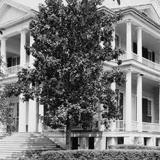
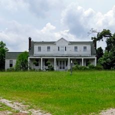
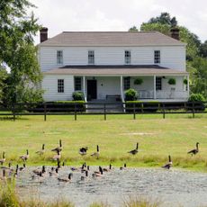
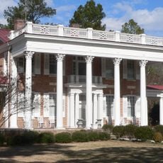
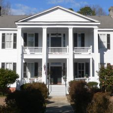
Mulberry Plantation
United States of America

Mulberry Plantation

6.9 mi
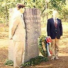
Camden Battlefield
United States of America

Camden Battlefield

6.4 mi
Cool Springs
United States of America

Cool Springs

5.1 mi
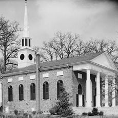
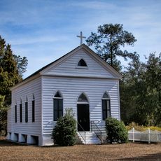
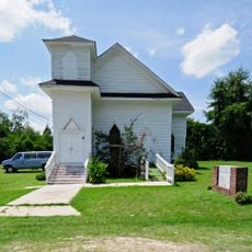
Bethesda Presbyterian Church
United States of America

Bethesda Presbyterian Church

5.6 mi
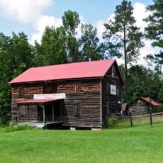
Boykin Mill Complex
United States of America

Boykin Mill Complex

11.3 mi
St. Philip's Episcopal Church
United States of America

St. Philip's Episcopal Church

13.8 mi
City of Camden Historic District
United States of America

City of Camden Historic District

5.6 mi
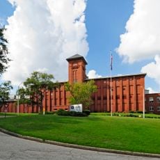
Kendall Mill Historic District
United States of America

Kendall Mill Historic District

4.4 mi
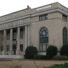
Lee County Courthouse
United States of America

Lee County Courthouse

16.3 mi
Liberty Hill Historic District
United States of America

Liberty Hill Historic District

20.6 mi
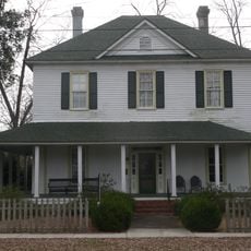
Zachariah Cantey House
United States of America

Zachariah Cantey House

8.3 mi
William Rogers House
United States of America

William Rogers House

15.9 mi
High Hills of Santee Baptist Church
United States of America

High Hills of Santee Baptist Church

20.9 mi
Blink Bonnie
United States of America

Blink Bonnie

17.5 mi
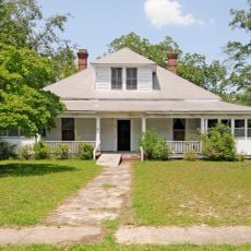
Thomas English House
United States of America

Thomas English House

8.1 mi
The Manor
United States of America

The Manor

16.6 mi
Clinton AME Zion Church
United States of America

Clinton AME Zion Church

18.5 mi
Dr. William Columbus Cauthen House
United States of America

Dr. William Columbus Cauthen House

19.8 mi
Spencer House
United States of America

Spencer House

16.7 mi
Matson Street Historic District
United States of America

Matson Street Historic District

18.4 mi
Thomas Fraser House
United States of America

Thomas Fraser House

15.7 mi
James Carnes House
United States of America

James Carnes House

16.2 mi
William Apollos James House
United States of America

William Apollos James House

16.8 mi
East Richland Street-East Church Street Historic District
United States of America

East Richland Street-East Church Street Historic District

18.6 mi
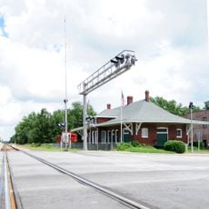
Seaboard Air Line Railway Depot in McBee
United States of America

Seaboard Air Line Railway Depot in McBee

19.7 mi
McBee Presbyterian Church
United States of America

McBee Presbyterian Church

19.6 mi
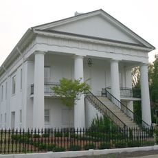
Former Kershaw County Courthouse
United States of America

Former Kershaw County Courthouse

5.9 mi
Show the full map
Reviews
Share your experience

No review yet

Discussions
Start a discussion...

No discussion yet

« Goodale State Park - State park in Camden, South Carolina » is provided by Around Us (aroundus.com). Images and texts are derived from Wikimedia project under a Creative Commons license. You are allowed to copy, distribute, and modify copies of this page, under the conditions set by the license, as long as this note is clearly visible.

Discover hidden gems everywhere you go!

From secret cafés to breathtaking viewpoints, skip the crowded tourist spots and find places that match your style. Our app makes it easy with voice search, smart filtering, route optimization, and insider tips from travelers worldwide. Download now for the complete mobile experience.
Around Us App Screenshot
❝

A unique approach to discovering new places❞

— Le Figaro

❝

All the places worth exploring❞

— France Info

❝

A tailor-made excursion in just a few clicks❞

— 20 Minutes

Around Us
Travel Guide & Maps
Download

Send to your phone

QR Code
1

Open the camera app on your mobile.

2

Point at the QR code with your camera. A notification will appear.

3

Tap the notification to open the link.