·

Enable Location

We need your location to show you interesting places around you

Discover nearby places

Find interesting locations and hidden gems around you

Precise directions

Get accurate directions and distances to places

Your location is never shared with other users. It's only used when you tap the location button.

City of Camden Historic District

Log in to your account

Start exploring — it's free

Trusted by 62,664 travelers worldwide

Continue with Google
Continue with Apple
or

We will send you a code to connect

By continuing, you accept our Terms and Conditions and our Privacy Policy

Check your inbox

We've sent a pincode in your inbox. Please enter the code below.

City of Camden Historic District, Historic district in Camden, South Carolina.

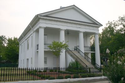
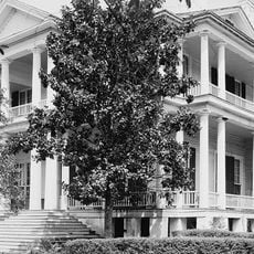
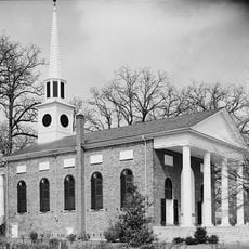
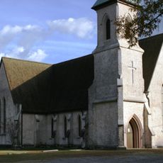
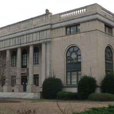
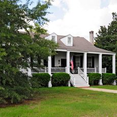
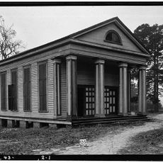
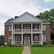
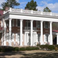
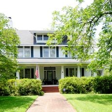
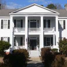
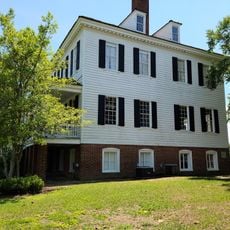
The City of Camden Historic District is a historic neighborhood in Camden, South Carolina, containing a mix of residential and civic buildings spread across multiple blocks. The area includes structures built in Federal, Greek Revival, and Classical Revival styles from the 18th and 19th centuries.

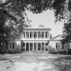
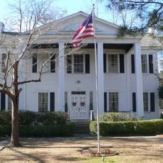
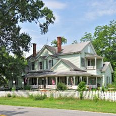
The district took its current form after a major fire in 1813 destroyed the original town center, prompting residents to rebuild and expand northward. This shift led to the development of the Kirkwood area as a residential community with seasonal and permanent homes.

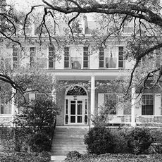
The neighborhood shows a mix of building styles from different eras, reflecting how residents shaped the area over generations. Walking through, you notice how older structures blend with later additions, telling a story of growth and change through architecture.

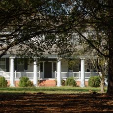
The district is best explored on foot to appreciate the architecture and building details up close. Mild weather days work best for walking through the streets at a leisurely pace.

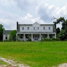
Many original summer cottages from the early 1800s still stand but have been absorbed into larger mansions built around them later. These hidden inner structures show how prosperity and building tastes evolved in the neighborhood over time.

The community of curious travelers

AroundUs brings together thousands of curated places, local tips, and hidden gems, enriched daily by 60,000 contributors worldwide.

Start exploring
Location
GPS coordinates
34.24654,-80.60702
Latest update
December 14, 2025 18:05
Around this place
Sesquicentennial State Park
United States of America

Sesquicentennial State Park

32.6 km
Borough House Plantation
United States of America

Borough House Plantation

33.2 km
Mulberry Plantation
United States of America

Mulberry Plantation

4.7 km
Camden Battlefield
United States of America

Camden Battlefield

11.1 km
Goodale State Park
United States of America

Goodale State Park

9.1 km
Cool Springs
United States of America

Cool Springs

5.2 km
Bethesda Presbyterian Church
United States of America

Bethesda Presbyterian Church

160 m
Boykin Mill Complex
United States of America

Boykin Mill Complex

13.6 km
St. Philip's Episcopal Church
United States of America

St. Philip's Episcopal Church

23.1 km
Stateburg Historic District
United States of America

Stateburg Historic District

31.9 km
Kendall Mill Historic District
United States of America

Kendall Mill Historic District

2 km
Lee County Courthouse
United States of America

Lee County Courthouse

33.1 km
Liberty Hill Historic District
United States of America

Liberty Hill Historic District

30.9 km
Zachariah Cantey House
United States of America

Zachariah Cantey House

10.1 km
William Rogers House
United States of America

William Rogers House

32.6 km
High Hills of Santee Baptist Church
United States of America

High Hills of Santee Baptist Church

29.9 km
Century House
United States of America

Century House

32.9 km
Blink Bonnie
United States of America

Blink Bonnie

22.1 km
The Manor
United States of America

The Manor

33.7 km
Thomas English House
United States of America

Thomas English House

10.4 km
Dennis High School
United States of America

Dennis High School

33.1 km
Ridgeway Historic District
United States of America

Ridgeway Historic District

33.2 km
Ruff's Chapel
United States of America

Ruff's Chapel

32.9 km
Matson Street Historic District
United States of America

Matson Street Historic District

33.6 km
Thomas Fraser House
United States of America

Thomas Fraser House

31.9 km
Monroe Wilson House
United States of America

Monroe Wilson House

33.6 km
James Carnes House
United States of America

James Carnes House

32.9 km
Historic Camden Revolutionary War
United States of America

Historic Camden Revolutionary War

1.5 km
Show the full map
« City of Camden Historic District - Historic district in Camden, South Carolina » is provided by Around Us (aroundus.com). Images and texts are derived from Wikimedia project under a Creative Commons license. You are allowed to copy, distribute, and modify copies of this page, under the conditions set by the license, as long as this note is clearly visible.

Discover hidden gems everywhere you go!

From secret cafés to breathtaking viewpoints, skip the crowded tourist spots and find places that match your style. Our app makes it easy with voice search, smart filtering, route optimization, and insider tips from travelers worldwide. Download now for the complete mobile experience.

Around Us App Screenshot

A unique approach to discovering new places

Le Figaro

All the places worth exploring

France Info

A tailor-made excursion in just a few clicks

20 Minutes

Around Us
Travel Guide & Maps
Download

Send to your phone

QR Code
1

Open the camera app on your mobile.

2

Point at the QR code with your camera. A notification will appear.

3

Tap the notification to open the link.