·

Enable Location

We need your location to show you interesting places around you

Discover nearby places

Find interesting locations and hidden gems around you

Precise directions

Get accurate directions and distances to places

Your location is never shared with other users. It's only used when you tap the location button.

Camden

Log in to your account

Start exploring — it's free

Trusted by 62,669 travelers worldwide

Continue with Google
Continue with Apple
or

We will send you a code to connect

By continuing, you accept our Terms and Conditions and our Privacy Policy

Check your inbox

We've sent a pincode in your inbox. Please enter the code below.

Camden, Colonial settlement in Kershaw County, South Carolina, United States

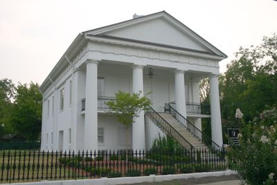
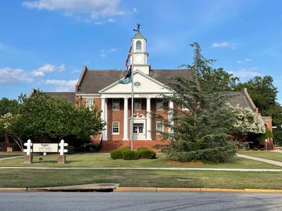
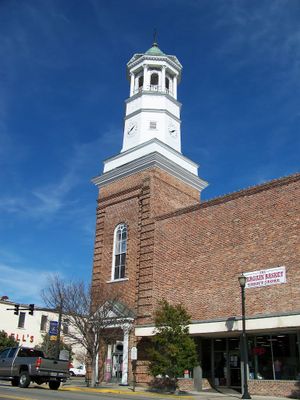
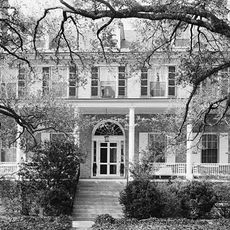
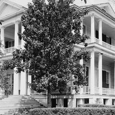
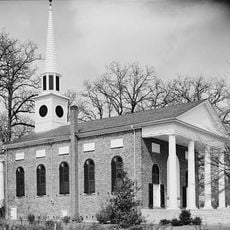
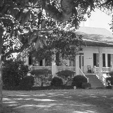
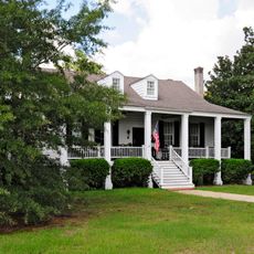
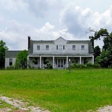
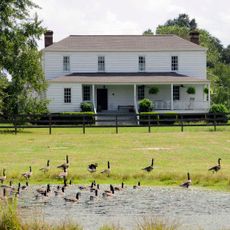
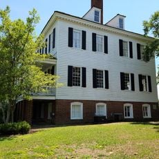
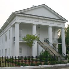
Camden is a town in Kershaw County, South Carolina, situated along the Wateree River and characterized by wide streets lined with magnolia trees and antebellum buildings. The location rises to about 57 meters in elevation and blends rural surroundings with structures dating from multiple centuries.

Established in 1786, the town became a strategic location during the American Revolutionary War when British forces held control of the region. This period of occupation left lasting marks on the town's development.

The streets display colonial-era buildings that shape the town's character and remind visitors of its founding years. These structures remain central to how residents and travelers experience the place today.

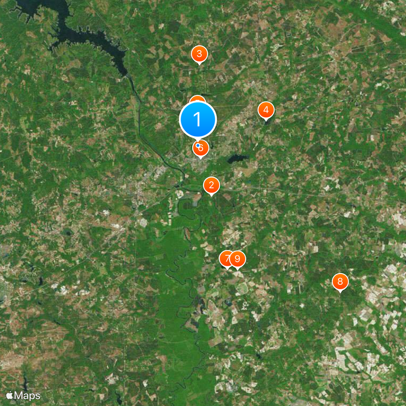
The town connects via US-521 and US-601, offering direct routes to Columbia and Charlotte for easy access. Spring and fall offer the most comfortable conditions for walking through the historic areas and exploring on foot.

The town hosts multiple horse racing events throughout the year, especially the Carolina Cup held at Springdale Race Course, which draws visitors from across the region. These steeplechase competitions are deeply woven into local traditions.

The community of curious travelers

AroundUs brings together thousands of curated places, local tips, and hidden gems, enriched daily by 60,000 contributors worldwide.

Start exploring
Location
Inception
1786
Elevation above the sea
57 m
GPS coordinates
34.25917,-80.60917
Latest update
December 14, 2025 21:06
Around this place
Mulberry Plantation
United States of America

Mulberry Plantation

6.1 km
Camden Battlefield
United States of America

Camden Battlefield

9.7 km
Goodale State Park
United States of America

Goodale State Park

8.6 km
Cool Springs
United States of America

Cool Springs

3.8 km
Bethesda Presbyterian Church
United States of America

Bethesda Presbyterian Church

1.5 km
Boykin Mill Complex
United States of America

Boykin Mill Complex

15 km
St. Philip's Episcopal Church
United States of America

St. Philip's Episcopal Church

24.2 km
United States of America

Midfield Plantation

15.4 km
City of Camden Historic District
United States of America

City of Camden Historic District

1.4 km
Kendall Mill Historic District
United States of America

Kendall Mill Historic District

1.7 km
Magnolia Hall
United States of America

Magnolia Hall

23.2 km
Zachariah Cantey House
United States of America

Zachariah Cantey House

11.4 km
Blink Bonnie
United States of America

Blink Bonnie

21.3 km
Thomas English House
United States of America

Thomas English House

11.6 km
United States of America

Benjamin McCoy House

17.9 km
United States of America

Ellerbe's Mill

22.3 km
United States of America

Carter Hill

14.8 km
Historic Camden Revolutionary War
United States of America

Historic Camden Revolutionary War

2.9 km
United States of America

American Towers Tower Eglin-29045

21.4 km
United States of America

Buckingham Landing Pond

21.3 km
United States of America

White Oak Slash Lake

19 km
United States of America

Colonial Lake

6.3 km
United States of America

Camden Reservoir

3.3 km
United States of America

Ratliff Millpond

21.8 km
Former Kershaw County Courthouse
United States of America

Former Kershaw County Courthouse

2.2 km
United States of America

Camden Country Club

1.1 km
United States of America

White Pines Golf Club

7.5 km
United States of America

Atlas Gym and Fitness Center

1.6 km
Show the full map
« Camden - Colonial settlement in Kershaw County, South Carolina, United States » is provided by Around Us (aroundus.com). Images and texts are derived from Wikimedia project under a Creative Commons license. You are allowed to copy, distribute, and modify copies of this page, under the conditions set by the license, as long as this note is clearly visible.

Discover hidden gems everywhere you go!

From secret cafés to breathtaking viewpoints, skip the crowded tourist spots and find places that match your style. Our app makes it easy with voice search, smart filtering, route optimization, and insider tips from travelers worldwide. Download now for the complete mobile experience.

Around Us App Screenshot

A unique approach to discovering new places

Le Figaro

All the places worth exploring

France Info

A tailor-made excursion in just a few clicks

20 Minutes

Around Us
Travel Guide & Maps
Download

Send to your phone

QR Code
1

Open the camera app on your mobile.

2

Point at the QR code with your camera. A notification will appear.

3

Tap the notification to open the link.