
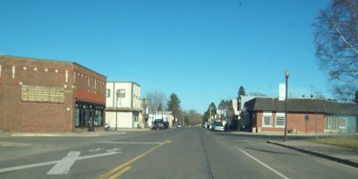
Floodwood, city in Saint Louis County, Minnesota, United States
Location: St. Louis County
Elevation above the sea: 381 m
Website: http://floodwood.govoffice.com
GPS coordinates: 46.92917,-92.91972
Latest update: May 5, 2025 21:31
Jay Cooke State Park
54.6 km
Savanna Portage State Park
20.7 km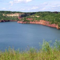
Hill Annex Mine State Park
52.3 km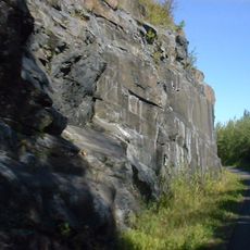
Willard Munger State Trail
54.4 km
Rice Lake National Wildlife Refuge
54.6 km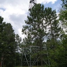
Fond du Lac State Forest
29.7 km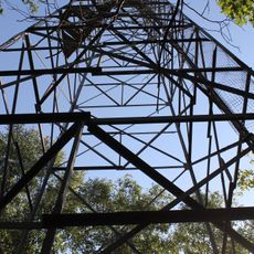
Savanna State Forest
24.7 km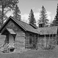
Church of Sts. Joseph and Mary-Catholic
34.8 km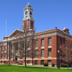
Hibbing City Hall
55.4 km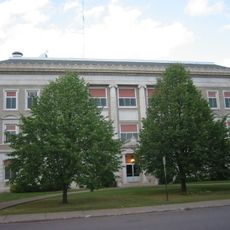
Carlton County Courthouse
47.9 km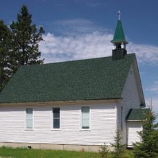
Church of St. Joseph
20.3 km
Western Bohemian Fraternal Union Hall
18.7 km
Sons of Italy Hall
55.5 km
Cloquet City Hall
41.6 km
Coleraine Methodist Episcopal Church
55.4 km
Mitchell–Tappan House
55.2 km
Delvic Building
55.5 km
Emmett Butler House
54.7 km
Cloquet-Northern Office Building
41.6 km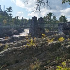
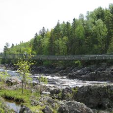
Swinging Bridge, Minnesota
51.9 km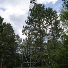
Cromwell Lookout Tower
25.5 km
Jay Cooke State Park CCC/Rustic Style Historic District
51.8 km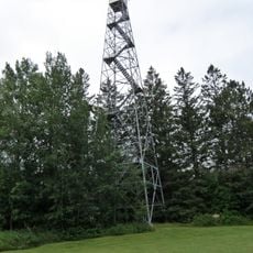
Floodwood Lookout Tower
36 m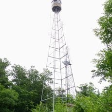
Quadna Fire Tower
50.8 km
Jay Cooke State Park CCC/WPA/Rustic Style Picnic Grounds
52.9 km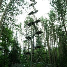
Cloquet Lookout Tower
40.2 km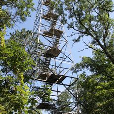
Sandy Lake Lookout Tower
33.8 km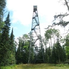
Cotton Lookout Tower
41.2 kmVisited this place? Tap the stars to rate it and share your experience / photos with the community! Try now! You can cancel it anytime.
Discover hidden gems everywhere you go!
From secret cafés to breathtaking viewpoints, skip the crowded tourist spots and find places that match your style. Our app makes it easy with voice search, smart filtering, route optimization, and insider tips from travelers worldwide. Download now for the complete mobile experience.

A unique approach to discovering new places❞
— Le Figaro
All the places worth exploring❞
— France Info
A tailor-made excursion in just a few clicks❞
— 20 Minutes