Enable Location

We need your location to show you interesting places around you

Discover nearby places

Find interesting locations and hidden gems around you

Precise directions

Get accurate directions and distances to places

Your location is never shared with other users. It's only used when you tap the location button.

Log in to your account

Start exploring — it's free

Trusted by 62,486 travelers worldwide

Continue with Google
Continue with Apple
or

We will send you a code to connect

By continuing, you accept our Terms and Conditions and our Privacy Policy

Check your inbox

We've sent a pincode in your inbox. Please enter the code below.

Hartsville, Administrative center in Darlington County, South Carolina, United States.

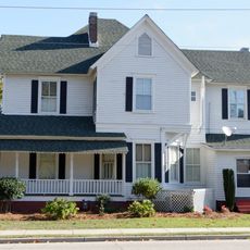
Hartsville is the largest municipality in Darlington County, spreading across rolling terrain at an elevation of 66 meters with established residential neighborhoods and commercial districts. The street layout connects different areas and creates a manageable town for visitors to explore.

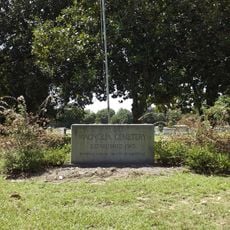
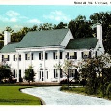
The settlement was established in 1760 by Captain Thomas E. Hart and grew after the Civil War through railroad construction and business ventures led by James Lide Coker. This period shaped the layout and economy that the town continued to build upon for generations.

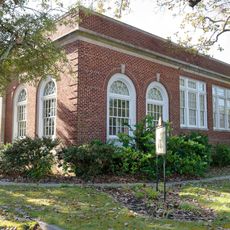
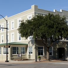
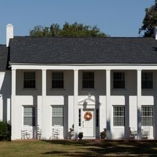
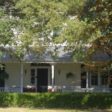
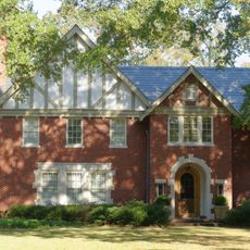
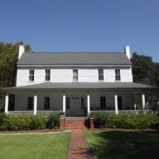
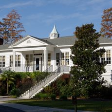
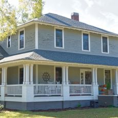
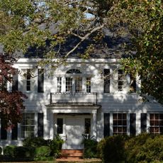
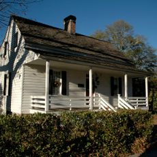
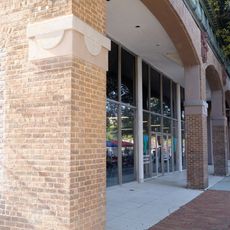
The city is home to several buildings registered in the National Register of Historic Places, such as the Arcade Hotel and the former Post Office, which shape its character. These structures stand as reminders of the town's evolution and remain part of daily life in the community.

Services and city facilities are concentrated on East Carolina Avenue at the administrative center, where visitors can find important offices. The compact size of the town makes it straightforward to navigate between different areas on foot or by car.

Near the town sits the H.B. Robinson Nuclear Generating Station, which supplies a substantial portion of the region's electricity. This facility ranks as a major employer and significantly shapes the local job market and economy.

The community of curious travelers

AroundUs brings together thousands of curated places, local tips, and hidden gems, enriched daily by 60,000 contributors worldwide.

Start exploring
Inception
1760
Elevation above the sea
66 m
GPS coordinates
34.36940,-80.08080
Latest update
December 20, 2025 02:01
Around this place
Coker Experimental Farms
United States of America

Coker Experimental Farms

2.1 km
United States of America

Kalmia Gardens

3.3 km
Center Theater
United States of America

Center Theater

914 m
Neptune Island Waterpark
United States of America

Neptune Island Waterpark

2.2 km
United States of America

Jeffries Creek

7.8 km
Magnolia Cemetery
United States of America

Magnolia Cemetery

1.1 km
Hartsville Post Office
United States of America

Hartsville Post Office

906 m
A.M. McNair House
United States of America

A.M. McNair House

771 m
Arcade Hotel
United States of America

Arcade Hotel

857 m
United States of America

Jacob Kelley House

6.4 km
Robert R. Coker House
United States of America

Robert R. Coker House

2.3 km
James L. Coker III House
United States of America

James L. Coker III House

787 m
Hartsville Armory
United States of America

Hartsville Armory

387 m
Memorial Hall
United States of America

Memorial Hall

1.6 km
United States of America

S. Pressly Coker House

191 m
E. W. Cannon House and Store
United States of America

E. W. Cannon House and Store

743 m
United States of America

C.K. Dunlap House

2.6 km
J.B. Gilbert House
United States of America

J.B. Gilbert House

1.3 km
Thomas E. Hart House
United States of America

Thomas E. Hart House

3.2 km
Lawton Park and Pavilion
United States of America

Lawton Park and Pavilion

1.4 km
Wade Hampton Hicks House
United States of America

Wade Hampton Hicks House

511 m
Paul H. Rogers House
United States of America

Paul H. Rogers House

821 m
United States of America

West College Avenue Historic District

479 m
John L. Hart House
United States of America

John L. Hart House

1 km
Davidson Hall, Coker College
United States of America

Davidson Hall, Coker College

1.5 km
East Home Avenue Historic District
United States of America

East Home Avenue Historic District

1.4 km
J. L. Coker Company Building
United States of America

J. L. Coker Company Building

909 m
United States of America

Hartsville Country Club

2.3 km
Show the full map
« Hartsville - Administrative center in Darlington County, South Carolina, United States » is provided by Around Us (aroundus.com). Images and texts are derived from Wikimedia project under a Creative Commons license. You are allowed to copy, distribute, and modify copies of this page, under the conditions set by the license, as long as this note is clearly visible.

Discover hidden gems everywhere you go!

From secret cafés to breathtaking viewpoints, skip the crowded tourist spots and find places that match your style. Our app makes it easy with voice search, smart filtering, route optimization, and insider tips from travelers worldwide. Download now for the complete mobile experience.

Around Us App Screenshot

A unique approach to discovering new places

Le Figaro

All the places worth exploring

France Info

A tailor-made excursion in just a few clicks

20 Minutes

Around Us
Travel Guide & Maps
Download

Send to your phone

QR Code
1

Open the camera app on your mobile.

2

Point at the QR code with your camera. A notification will appear.

3

Tap the notification to open the link.