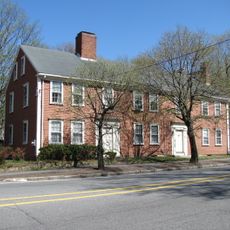
Bedford, Colonial town in Middlesex County, Massachusetts, US.
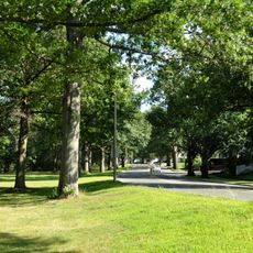
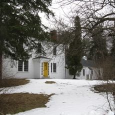
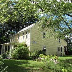
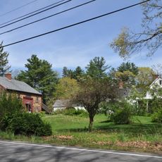
Bedford is a town in Middlesex County, Massachusetts, situated roughly 15 miles north of Boston. It features a mix of residential neighborhoods, a village center with shops and services, and open green spaces throughout.
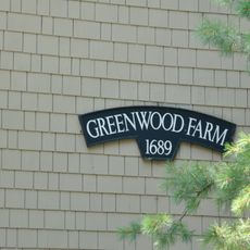
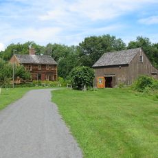
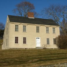
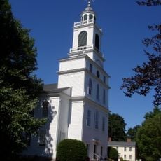
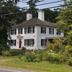
The settlement began in 1640 as a farming community and became an independent town in 1729 through a division approved by the Massachusetts General Court. This separation from neighboring Concord and Billerica marked its emergence as a distinct municipal entity.
The Bedford Flag, housed in the town library, holds deep meaning for residents as a symbol of their community's role in the American Revolution. It represents a direct connection between this place and the events that shaped the nation's founding.
The town connects easily to Boston via Interstate 95 and Route 3, making day trips straightforward for visitors. A local airport also serves the area for those traveling by air.
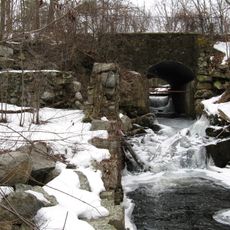
Two Brothers Rocks along the Concord River mark a boundary agreement made by Governor Winthrop and Deputy Governor Dudley in the 1600s. This natural landmark shows how early colonial leaders settled territorial questions through direct negotiation at specific riverside locations.
Location: Middlesex County
Inception: 1640
Elevation above the sea: 41 m
Shares border with: Billerica
Website: http://town.bedford.ma.us
GPS coordinates: 42.49056,-71.27667
Latest update: December 6, 2025 21:23
Lexington Battle Green
5.9 km
The Wayside
5.8 km
Hancock-Clarke House
5.7 km
Great Meadows National Wildlife Refuge
4.7 km
Mystic River Reservation
3.5 km
Wheeler-Minot Farmhouse
3.7 km
Francis Wyman House
5.2 km
Captain William Smith House
4.5 km
Nathaniel Page House
1.1 km
Two Brothers Rocks-Dudley Road Historic District
4 km
Job Lane House
2.6 km
Virginia Road
4 km
Jacob Whittemore House
4.7 km
David Lane House
1.5 km
Wheeler-Merriam House
3.6 km
Bacon-Gleason-Blodgett Homestead
2.6 km
Deacon Samuel Hill House
5.5 km
Wilson Mill-Old Burlington Road District
2.5 km
Bedford Center Historic District
424 m
West School
5 km
Simonds Tavern
3.8 km
Daniel Brooks House
5.5 km
Gen. Samuel Chandler House
5.9 km
Christopher Page House
1.6 km
Old Billerica Road Historic District
2.9 km
Colonel Timothy Jones House
2 km
Farley-Hutchinson-Kimball House
3.8 km
Samuel Hartwell House
4.4 kmVisited this place? Tap the stars to rate it and share your experience / photos with the community! Try now! You can cancel it anytime.
Discover hidden gems everywhere you go!
From secret cafés to breathtaking viewpoints, skip the crowded tourist spots and find places that match your style. Our app makes it easy with voice search, smart filtering, route optimization, and insider tips from travelers worldwide. Download now for the complete mobile experience.
A unique approach to discovering new places❞
— Le Figaro
All the places worth exploring❞
— France Info
A tailor-made excursion in just a few clicks❞
— 20 Minutes