Grafton

Log in to your account

AroundUs is a community-driven map of interesting places, built by curious explorers like you. It grows with every review, story, and photo you share.
Connect to save your favorite spots, contribute locations, and create personalized routes.
By continuing, you accept our Terms and Conditions and our Privacy Policy
Add to collection
Map
Suggest a change
Share

Grafton, New England town in Worcester County, Massachusetts.

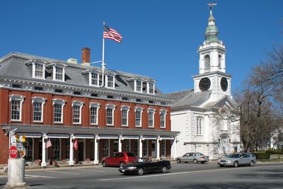
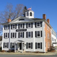
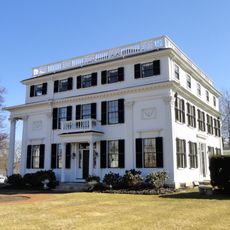
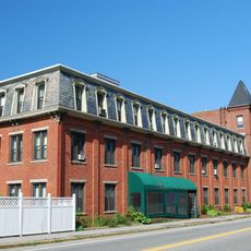
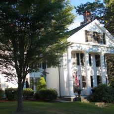
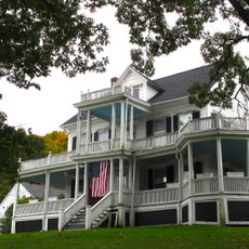
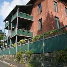
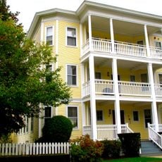
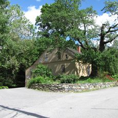
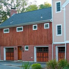
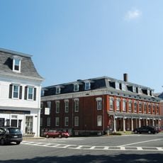
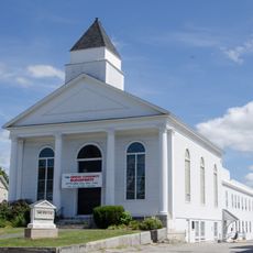
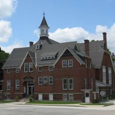
Grafton is a town in Worcester County, Massachusetts, spread across several districts including North Grafton, Centerville, Farnumsville, Fisherville, and Saundersville. The town displays a mix of architectural styles from different periods, with Early American, Greek Revival, and Victorian buildings visible along its main streets.

Settlement began in 1718 when early colonists purchased land from the Nipmuc Native Americans in an area formerly known as Hassanamisco. In that period, missionary efforts brought a church and school where Indigenous people studied their own language alongside Christian teachings.

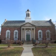
The central Common serves as a gathering space where visitors can explore how the town has shaped its identity through public landmarks and seasonal events. This green space reflects how the community connects to its past through regular assemblies and shared activities.

The town offers routes for exploring its historic streets such as North Street, South Street, and Worcester Street, accessible on foot or by car. Visitors can find parking throughout the area and explore the different building styles at their own pace.

In the town's early years, English missionary John Eliot worked on a church and school where Native people studied in their own language, an unusual approach for colonial times. This experiment in Indigenous education near the Common was rare in New England and reveals a lesser-known side of settlement history.

Location: Worcester County

Inception: 1718

Elevation above the sea: 130 m

Shares border with: Worcester

Website: http://grafton-ma.gov

GPS coordinates: 42.20694,-71.68611

Latest update: December 7, 2025 09:26

Photos
Around this place
Show the full map
Purgatory Chasm State Reservation
United States of America

Purgatory Chasm State Reservation

9.1 km
EcoTarium
United States of America

EcoTarium

9.2 km
White City
United States of America

White City

9.2 km
Quinsigamond State Park
United States of America

Quinsigamond State Park

8.1 km
Upton State Forest
United States of America

Upton State Forest

6.4 km
Willard House and Clock Museum
United States of America

Willard House and Clock Museum

3.7 km
Asa Waters Mansion
United States of America

Asa Waters Mansion

6.6 km
Farnumsville Historic District
United States of America

Farnumsville Historic District

3.6 km
George Clapp House
United States of America

George Clapp House

707 m
Fisherville Historic District
United States of America

Fisherville Historic District

3.4 km
Ash Street School
United States of America

Ash Street School

5.9 km
Grafton Public Library
United States of America

Grafton Public Library

103 m
Jonah Warren House
United States of America

Jonah Warren House

8.2 km
Rockdale Common Housing District
United States of America

Rockdale Common Housing District

6.9 km
Freegrace Marble Farm Historic District
United States of America

Freegrace Marble Farm Historic District

7.3 km
Ethan Allen House and Gun Shop
United States of America

Ethan Allen House and Gun Shop

3.8 km
Upton Town Hall
United States of America

Upton Town Hall

8.6 km
Grafton Common Historic District
United States of America

Grafton Common Historic District

93 m
Vintonville Historic District
United States of America

Vintonville Historic District

9.2 km
Edna Stoliker Three-Decker
United States of America

Edna Stoliker Three-Decker

9.5 km
Sutton Center Historic District
United States of America

Sutton Center Historic District

9 km
First Presbyterian Society Meeting House
United States of America

First Presbyterian Society Meeting House

6.3 km
United States Post Office–Millbury Main
United States of America

United States Post Office–Millbury Main

6.5 km
Upton Center Historic District
United States of America

Upton Center Historic District

7.8 km
Ingleside Avenue Historic District
United States of America

Ingleside Avenue Historic District

9.2 km
Grafton Inn
United States of America

Grafton Inn

132 m
Broad Meadow Brook Conservation Center and Wildlife Sanctuary
United States of America

Broad Meadow Brook Conservation Center and Wildlife Sanctuary

7 km
Morris Levenson Three-Decker
United States of America

Morris Levenson Three-Decker

9.5 km
Show the full map
Reviews

Visited this place? Tap the stars to rate it and share your experience / photos with the community! Try now! You can cancel it anytime.

« Grafton - New England town in Worcester County, Massachusetts » is provided by Around Us (aroundus.com). Images and texts are derived from Wikimedia project under a Creative Commons license. You are allowed to copy, distribute, and modify copies of this page, under the conditions set by the license, as long as this note is clearly visible.

Discover hidden gems everywhere you go!

From secret cafés to breathtaking viewpoints, skip the crowded tourist spots and find places that match your style. Our app makes it easy with voice search, smart filtering, route optimization, and insider tips from travelers worldwide. Download now for the complete mobile experience.

Around Us App Screenshot

A unique approach to discovering new places

Le Figaro

All the places worth exploring

France Info

A tailor-made excursion in just a few clicks

20 Minutes