Sterling, Town in Massachusetts
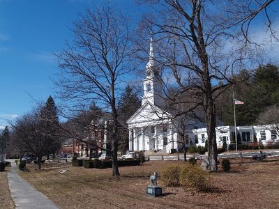
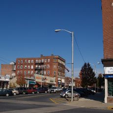
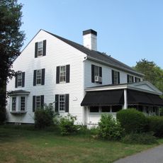
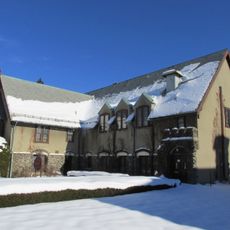
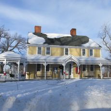
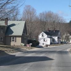
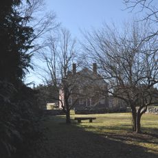
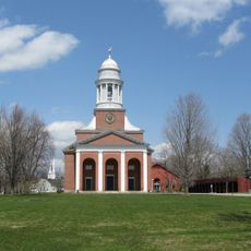
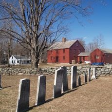
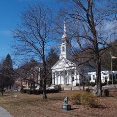
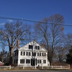
Sterling is a small town in Worcester County, Massachusetts, defined by quiet streets and older homes that reflect traditional New England architecture. The center has a modest character with local shops and cafes that serve residents and visitors alike.
Sterling was founded in 1781 from the neighboring town of Lancaster and named after a general of American independence. Before that, the area was known as the Second Parish of Lancaster and was originally inhabited by Native Americans, whose cultural traces remain visible in local names and stories.
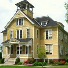
Sterling takes its name from General William Alexander, also known as Lord Stirling, a connection that still shapes the town's identity today. The community honors this past through preserved old buildings and annual events that bring residents together and strengthen the sense of shared history.
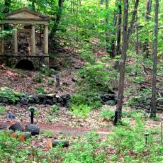
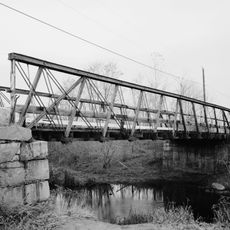
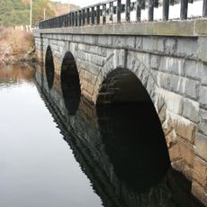
Sterling sits conveniently between larger cities like Worcester and Boston, with good road access and a nearby train station that makes commuting easy. The town offers lakes, woods, and parks like Sholan Park on Lake Waushacum, perfect for outdoor activities without long drives.
The poem 'Mary Had a Little Lamb' is connected to Sterling through a local school story from the region's past. This literary link brought the town recognition beyond its borders and remains a surprising part of its cultural connections.
The community of curious travelers
AroundUs brings together thousands of curated places, local tips, and hidden gems, enriched daily by 60,000 contributors worldwide.