Chest opened
+${chestReward.xp} XP
Explorer
NOUVEAU ×${chestReward.collectible.quantity}
tapez pour fermer
Chest locked

Open chests in the app

Around Us is built for your phone — chests unlock when you walk, explore and capture nearby places.

Enable Location

We need your location to show you interesting places around you

Discover nearby places

Find interesting locations and hidden gems around you

Precise directions

Get accurate directions and distances to places

Your location is never shared with other users. It's only used when you tap the location button.

Alphabet City

Log in to your account

Start exploring — it's free

Trusted by 72,993 travelers worldwide

Continue with Google
Continue with Apple
or

We will send you a code to connect

By continuing, you accept our Terms and Conditions and our Privacy Policy

Check your inbox

We've sent a pincode in your inbox. Please enter the code below.

Discussion Reviews 1 Photos
141k Popularity

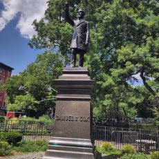
Alphabet City, Manhattan residential district from Avenue A to D, United States

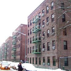
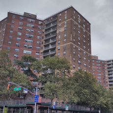
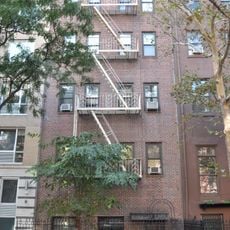
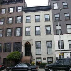
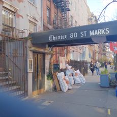
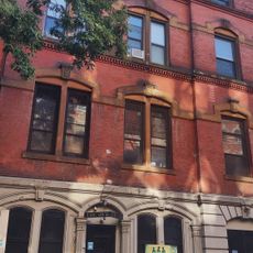
Alphabet City is a residential district in the eastern part of Manhattan, United States, running from Houston Street to East 14th Street. The streets stretch from Avenue A to Avenue D and include numerous small parks, storefronts and low-rise brick buildings.

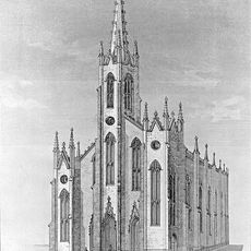
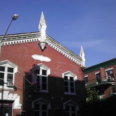
Salt marshes covered this area in the early 1800s before being drained and attracting German immigrants. The district grew into a large German-speaking settlement called Kleindeutschland until fires and changes in the late 1800s brought new waves of residents.

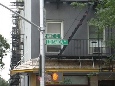
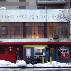
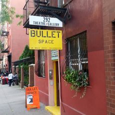
Spanish-speaking residents call Avenue C by the name Loisaida, a phonetic spelling of Lower East Side. Murals and small plaques on building walls reflect the lasting connection between the community and its Puerto Rican roots.

Several bus stops along major cross streets make it easier to reach the area from other parts of the city. Subway stations at First Avenue and Second Avenue offer further connections to destinations across Manhattan and beyond.

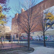
More than 60 community gardens appeared between the 1960s and 1990s on abandoned lots that residents turned into green spaces with flower beds and vegetable plots. Many of these gardens remain open today and are maintained by volunteers from the neighborhood.

The community of curious travelers

AroundUs brings together thousands of curated places, local tips, and hidden gems, enriched daily by 60,000 contributors worldwide.

Start exploring
Location
GPS coordinates
40.72606,-73.97859
Latest update
December 12, 2025 21:37
Around this place
Tompkins Square Park
United States of America

Tompkins Square Park

236 m
Nuyorican Poets Café
United States of America

Nuyorican Poets Café

531 m
Museum of the American Gangster
United States of America

Museum of the American Gangster

637 m
First Houses
United States of America

First Houses

669 m
Theater for the New City
United States of America

Theater for the New City

599 m
Christodora House
United States of America

Christodora House

169 m
Museum of Reclaimed Urban Space
United States of America

Museum of Reclaimed Urban Space

71 m
United States of America

St. Mark's Bookshop

658 m
German Evangelical Lutheran Church of St. Mark
United States of America

German Evangelical Lutheran Church of St. Mark

758 m
Village View
United States of America

Village View

632 m
St. Nicholas Kirche
United States of America

St. Nicholas Kirche

712 m
Bullet Space
United States of America

Bullet Space

554 m
Congregation Chasam Sopher
United States of America

Congregation Chasam Sopher

723 m
St. Stanislaus Bishop and Martyr's Church
United States of America

St. Stanislaus Bishop and Martyr's Church

520 m
Meseritz Synagogue
United States of America

Meseritz Synagogue

566 m
Open Road Park
United States of America

Open Road Park

532 m
Hebrew National Orphan Home
United States of America

Hebrew National Orphan Home

743 m
United States of America

La Plaza Cultural

79 m
Church of the Immaculate Conception and Clergy Houses
United States of America

Church of the Immaculate Conception and Clergy Houses

613 m
St. Mary Magdalen's Church
United States of America

St. Mary Magdalen's Church

388 m
St. Cyril Church (New York City)
United States of America

St. Cyril Church (New York City)

702 m
St Brigid's School
United States of America

St Brigid's School

222 m
Charlie Parker Residence
United States of America

Charlie Parker Residence

179 m
Exhibition-The Amer Gangster
United States of America

Exhibition-The Amer Gangster

632 m
Eleventh Street Methodist Episcopal Church
United States of America

Eleventh Street Methodist Episcopal Church

205 m
Theatre 80 St. Marks
United States of America

Theatre 80 St. Marks

635 m
Metropolitan Playhouse
United States of America

Metropolitan Playhouse

482 m
Samuel Sullivan Cox
United States of America

Samuel Sullivan Cox

383 m
Show the full map
Reviews
Share your experience

No review yet

Discussions
Start a discussion...

No discussion yet

« Alphabet City - Manhattan residential district from Avenue A to D, United States » is provided by Around Us (aroundus.com). Images and texts are derived from Wikimedia project under a Creative Commons license. You are allowed to copy, distribute, and modify copies of this page, under the conditions set by the license, as long as this note is clearly visible.

Discover hidden gems everywhere you go!

From secret cafés to breathtaking viewpoints, skip the crowded tourist spots and find places that match your style. Our app makes it easy with voice search, smart filtering, route optimization, and insider tips from travelers worldwide. Download now for the complete mobile experience.

Around Us App Screenshot

A unique approach to discovering new places

Le Figaro

All the places worth exploring

France Info

A tailor-made excursion in just a few clicks

20 Minutes

Around Us
Travel Guide & Maps
Download

Send to your phone

QR Code
1

Open the camera app on your mobile.

2

Point at the QR code with your camera. A notification will appear.

3

Tap the notification to open the link.