Chest opened
+${chestReward.xp} XP
Explorer
NOUVEAU ×${chestReward.collectible.quantity}
tapez pour fermer
Chest locked

Open chests in the app

Around Us is built for your phone — chests unlock when you walk, explore and capture nearby places.

Enable Location

We need your location to show you interesting places around you

Discover nearby places

Find interesting locations and hidden gems around you

Precise directions

Get accurate directions and distances to places

Your location is never shared with other users. It's only used when you tap the location button.

Log in to your account

Start exploring — it's free

Trusted by 72,912 travelers worldwide

Continue with Google
Continue with Apple
or

We will send you a code to connect

By continuing, you accept our Terms and Conditions and our Privacy Policy

Check your inbox

We've sent a pincode in your inbox. Please enter the code below.

Fog Point Light
Discussion Reviews Photo
1.7k Popularity

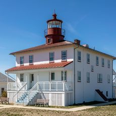
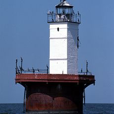
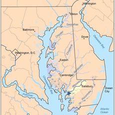
Fog Point Light, Historic lighthouse on Smith Island, Maryland

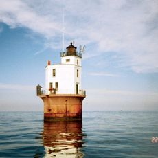
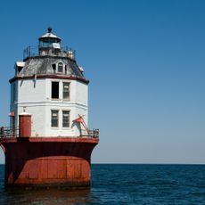
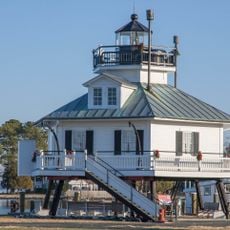
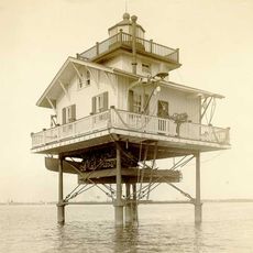
Fog Point Light was a lighthouse on Smith Island, an island in Chesapeake Bay, Maryland. The building had a house structure with a lantern mounted on the roof and stood about 40 feet tall, constructed from stone and wood materials.

The lighthouse was built in 1827 by John Donahoo to guide ships through Kedges Strait. It remained operational until it was deactivated in 1875.

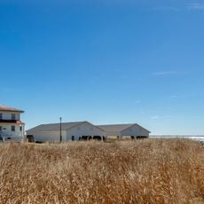
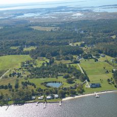
The lighthouse served as a vital reference point for fishermen and vessels moving through local waters. Residents of Smith Island depended on its light to navigate safely at night.

The original lighting system consisted of ten Argand lamps with reflectors, which were later replaced by a Fresnel lens. Its location on swampy ground made the structure vulnerable to damage and deterioration.

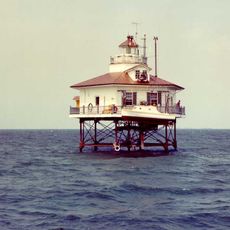
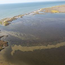
The lighthouse was eventually replaced by the nearby Solomons Lump Light and then disappeared completely. This fate shows how coastal erosion and wet conditions have erased historic structures along Chesapeake Bay.

The community of curious travelers

AroundUs brings together thousands of curated places, local tips, and hidden gems, enriched daily by 60,000 contributors worldwide.

Start exploring
Location
GPS coordinates
38.02990,-76.04170
Latest update
December 14, 2025 13:07
Around this place
Point Lookout State Park
United States of America

Point Lookout State Park

25.9 km
Point Lookout Light
United States of America

Point Lookout Light

24.6 km
Janes Island State Park
United States of America

Janes Island State Park

16.2 km
Holland Island Bar Light
United States of America

Holland Island Bar Light

6.4 km
Smith Point Light
United States of America

Smith Point Light

20.9 km
Point No Point Light
United States of America

Point No Point Light

24.4 km
Glenn Martin National Wildlife Refuge
United States of America

Glenn Martin National Wildlife Refuge

2.4 km
Hooper Strait Light
United States of America

Hooper Strait Light

22.1 km
Solomons Lump Light
United States of America

Solomons Lump Light

3.1 km
Deal Island Wildlife Management Area
United States of America

Deal Island Wildlife Management Area

22.5 km
Make Peace
United States of America

Make Peace

20.4 km
Ida May
United States of America

Ida May

17.6 km
Fannie L. Daugherty
United States of America

Fannie L. Daugherty

13.7 km
Somers Cove Light
United States of America

Somers Cove Light

16 km
Thomas W. Clyde
United States of America

Thomas W. Clyde

13.7 km
Nelson Homestead
United States of America

Nelson Homestead

19.3 km
Sharkfin Shoal Light
United States of America

Sharkfin Shoal Light

19.8 km
Crisfield Historic District
United States of America

Crisfield Historic District

17.7 km
St. Peter's Methodist Episcopal Church
United States of America

St. Peter's Methodist Episcopal Church

19.5 km
Great Shoals Light
United States of America

Great Shoals Light

25 km
Watkins Point Farm
United States of America

Watkins Point Farm

22.7 km
Ward Brothers' House and Shop
United States of America

Ward Brothers' House and Shop

18.5 km
St. Paul's Protestant Episcopal Church
United States of America

St. Paul's Protestant Episcopal Church

23.8 km
Capt. Leonard Tawes House
United States of America

Capt. Leonard Tawes House

18.3 km
Upper Fairmount Historic District
United States of America

Upper Fairmount Historic District

22.8 km
Cullen Homestead Historic District
United States of America

Cullen Homestead Historic District

19.8 km
Academy Grove Historic District
United States of America

Academy Grove Historic District

21.8 km
Swimming Beach
United States of America

Swimming Beach

24.9 km
Show the full map
Reviews
Share your experience

No review yet

Discussions
Start a discussion...

No discussion yet

« Fog Point Light - Historic lighthouse on Smith Island, Maryland » is provided by Around Us (aroundus.com). Images and texts are derived from Wikimedia project under a Creative Commons license. You are allowed to copy, distribute, and modify copies of this page, under the conditions set by the license, as long as this note is clearly visible.

Discover hidden gems everywhere you go!

From secret cafés to breathtaking viewpoints, skip the crowded tourist spots and find places that match your style. Our app makes it easy with voice search, smart filtering, route optimization, and insider tips from travelers worldwide. Download now for the complete mobile experience.

Around Us App Screenshot

A unique approach to discovering new places

Le Figaro

All the places worth exploring

France Info

A tailor-made excursion in just a few clicks

20 Minutes

Around Us
Travel Guide & Maps
Download

Send to your phone

QR Code
1

Open the camera app on your mobile.

2

Point at the QR code with your camera. A notification will appear.

3

Tap the notification to open the link.