Geographic center of the contiguous United States, Geographical center monument in Lebanon, Kansas, United States.
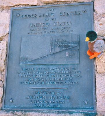
The geographical center of the contiguous United States is marked by a stone monument at coordinates 39°50′N 98°35′W, showing the midpoint of the 48 connected states. The marker stands on a flat grassy plot surrounded by open farmland, with a low stone wall and a flagpole completing the site.
In 1918, the United States Coast and Geodetic Survey identified this location by balancing a cardboard cutout of the continental United States to establish the midpoint. The stone marker was erected later to mark the position permanently and attract travelers.
A small chapel called the United States Center Chapel stands a short walk from the marker and holds eight wooden benches. Travelers stop inside for a quiet moment after visiting the geographical midpoint.
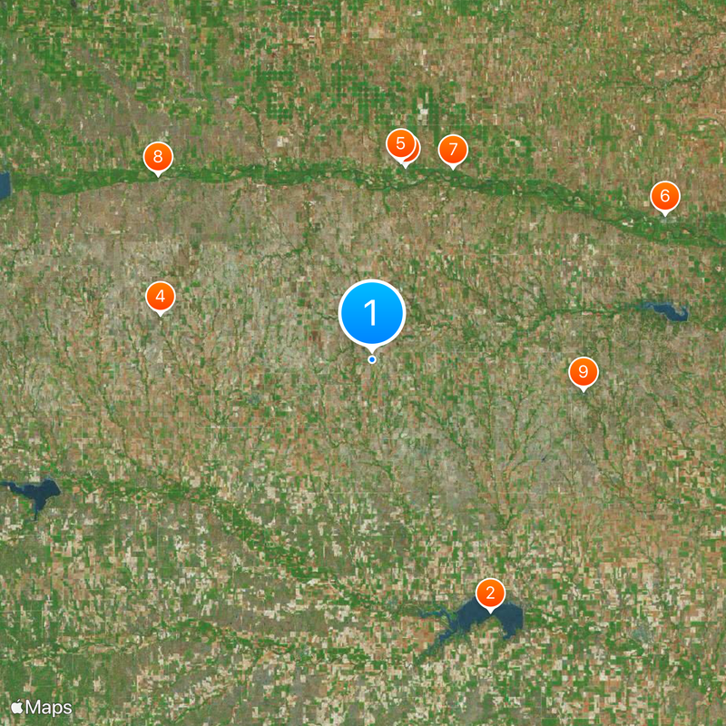
To reach the marker, drive one mile north on US Highway 281, then turn west on K-191 until the paved road ends. The site is off the main routes, so plan extra time and bring water since there are no facilities.
The actual midpoint lies half a mile away in a field that once operated as a hog farm. The stone marker serves as the official visiting spot because the precise location sits on private land that is harder to reach.
The community of curious travelers
AroundUs brings together thousands of curated places, local tips, and hidden gems, enriched daily by 60,000 contributors worldwide.