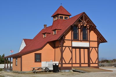
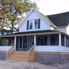
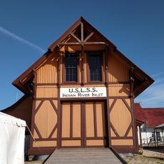
Indian River Life Saving Service Station
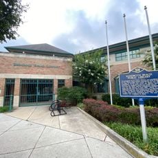
The Indian River Life Saving Service Station is a small, solid structure in Sussex County near the coast, built in 1876 to support rescue operations. Inside, visitors can see historical boats, equipment, and uniforms that tell stories of how crews responded to emergencies at sea.
The station was founded in 1876 to rescue shipwreck victims and sailors in distress along the coast. It was part of the United States Lifesaving Service, a government organization that eventually became the modern U.S. Coast Guard.
The station served as a vital hub for the coastal community and shows how people looked to the sea for their livelihoods. It reflects the strong connection between local residents and the water that shaped their daily lives and values.
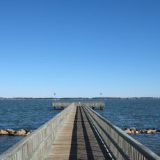
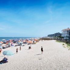
The station is located near Rehoboth Beach and is accessible to visitors of all ages. You can walk through at your own pace and enjoy views of the water while reflecting on the history of rescue work in the area.
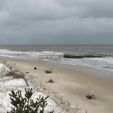
Rescue crews used signals, horns, and flags to warn ships about bad weather and coastal hazards. These simple communication methods show how creative people were in coordinating safety efforts before modern technology existed.
The community of curious travelers
AroundUs brings together thousands of curated places, local tips, and hidden gems, enriched daily by 60,000 contributors worldwide.