Enable Location

We need your location to show you interesting places around you

Discover nearby places

Find interesting locations and hidden gems around you

Precise directions

Get accurate directions and distances to places

Your location is never shared with other users. It's only used when you tap the location button.

Sussex County

Log in to your account

Start exploring — it's free

Trusted by travelers worldwide

Continue with Google
Continue with Apple
or

We will send you a code to connect

By continuing, you accept our Terms and Conditions and our Privacy Policy

Check your inbox

We've sent a pincode in your inbox. Please enter the code below.

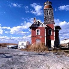
Sussex County, County in Delaware, United States.

Description

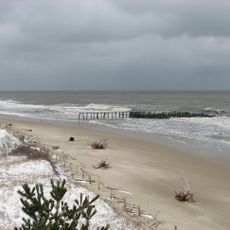
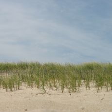
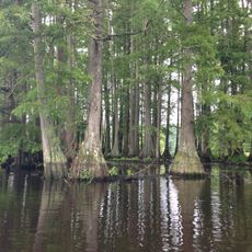
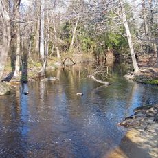
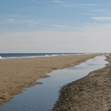
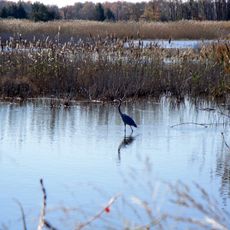
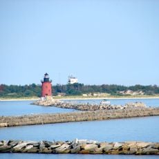
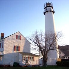
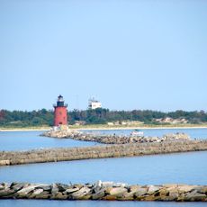
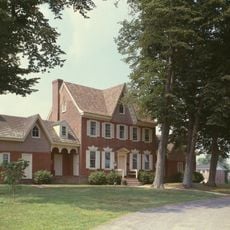
Sussex County is an administrative division in Delaware that stretches from the Atlantic Ocean to watershed areas, combining coastal regions, farmland, and residential neighborhoods across roughly 1,200 square miles (3,100 square kilometers). The landscape transitions from beaches and marshes inland to agricultural areas and communities of various sizes.

History

Dutch settlers founded the first European settlement near present-day Lewes in 1631, calling it Zwaanendael. English colonists later formalized this area as an organized county in 1683.

Culture

Agriculture remains deeply woven into daily life here, particularly poultry farming, which connects to local markets and community celebrations throughout the year. This working landscape coexists with coastal tourism and residential growth that shape how people spend their time and gather together.

Practical

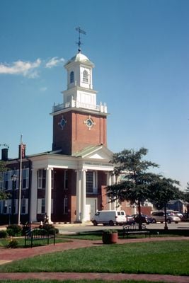
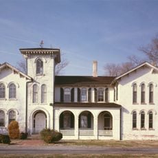
Georgetown functions as the county seat and main hub for government services, records, and administrative information serving the entire region. This central location makes it a useful reference point for understanding how the county operates and for accessing official services.

Did you know?

This region became one of the largest poultry production centers in the United States, shaping the economy of the entire northeastern Atlantic coast. The industry remains so integral to local identity that it continues to influence regional markets and business connections today.

Location
Inception
1683
Capital city
Georgetown
Shares border with
Dorchester County, Worcester County, Kent County, Wicomico County, Caroline County
GPS coordinates
38.68000,-75.34000
Latest update
December 15, 2025 13:21

AroundUs brings together thousands of curated places, local tips, and hidden gems, enriched daily by 60,000 contributors worldwide. Discover all places nearby (Delaware).

Around this place
U.S. Route 9
United States of America

U.S. Route 9

22.9 km
Cape Henlopen State Park
United States of America

Cape Henlopen State Park

23.3 km
Fort Miles
United States of America

Fort Miles

24.3 km
Indian River Inlet Bridge
United States of America

Indian River Inlet Bridge

25.3 km
Delaware Seashore State Park
United States of America

Delaware Seashore State Park

24 km
Trap Pond State Park
United States of America

Trap Pond State Park

20.5 km
Killens Pond State Park
United States of America

Killens Pond State Park

38 km
Funland
United States of America

Funland

23.2 km
Fenwick Island State Park
United States of America

Fenwick Island State Park

32.9 km
United States lightship Overfalls
United States of America

United States lightship Overfalls

20.4 km
Prime Hook National Wildlife Refuge
United States of America

Prime Hook National Wildlife Refuge

19.7 km
Zwaanendael Museum
United States of America

Zwaanendael Museum

20.4 km
Woodland Ferry
United States of America

Woodland Ferry

29 km
Harbor of Refuge Light
United States of America

Harbor of Refuge Light

26.2 km
Delaware Breakwater East End Light
United States of America

Delaware Breakwater East End Light

24.6 km
Fenwick Island Light
United States of America

Fenwick Island Light

35.6 km
Cape Henlopen Light
United States of America

Cape Henlopen Light

24.7 km
Ryves Holt House
United States of America

Ryves Holt House

20.3 km
Holts Landing State Park
United States of America

Holts Landing State Park

21 km
Brandywine Shoal Light
United States of America

Brandywine Shoal Light

38.9 km
Fort Saulsbury
United States of America

Fort Saulsbury

28.3 km
Mispillion Light
United States of America

Mispillion Light

29.8 km
Gov. William H. Ross House
United States of America

Gov. William H. Ross House

24.3 km
Delaware Breakwater
United States of America

Delaware Breakwater

24 km
Old Christ Church
United States of America

Old Christ Church

21.7 km
Harmony Church
United States of America

Harmony Church

13.4 km
Parson Thorne Mansion
United States of America

Parson Thorne Mansion

27.3 km
Redden Forest Education Center
United States of America

Redden Forest Education Center

9.2 km
Show the full map
« Sussex County - County in Delaware, United States » is provided by Around Us (aroundus.com). Images and texts are derived from Wikimedia project under a Creative Commons license. You are allowed to copy, distribute, and modify copies of this page, under the conditions set by the license, as long as this note is clearly visible.

Discover hidden gems everywhere you go!

From secret cafés to breathtaking viewpoints, skip the crowded tourist spots and find places that match your style. Our app makes it easy with voice search, smart filtering, route optimization, and insider tips from travelers worldwide. Download now for the complete mobile experience.

Around Us App Screenshot

A unique approach to discovering new places

Le Figaro

All the places worth exploring

France Info

A tailor-made excursion in just a few clicks

20 Minutes

Around Us
Travel Guide & Maps
Download

Send to your phone

QR Code
1

Open the camera app on your mobile.

2

Point at the QR code with your camera. A notification will appear.

3

Tap the notification to open the link.