Enable Location

We need your location to show you interesting places around you

Discover nearby places

Find interesting locations and hidden gems around you

Precise directions

Get accurate directions and distances to places

Your location is never shared with other users. It's only used when you tap the location button.

Mount Airy Historic District

Log in to your account

Start exploring — it's free

Trusted by 61,817 travelers worldwide

Continue with Google
Continue with Apple
or

We will send you a code to connect

By continuing, you accept our Terms and Conditions and our Privacy Policy

Check your inbox

We've sent a pincode in your inbox. Please enter the code below.

Mount Airy Historic District, National Historic District in Mount Airy, Maryland.

Description

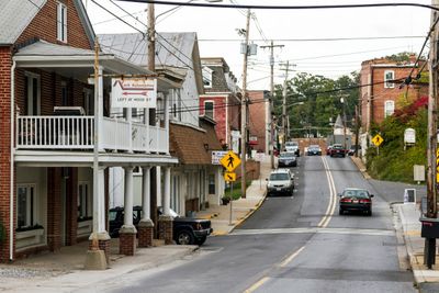
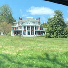
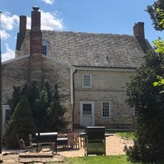
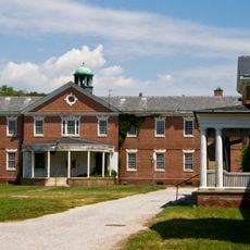
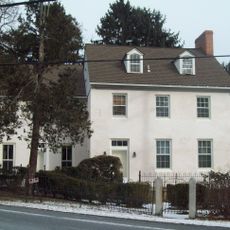
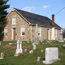
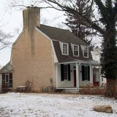
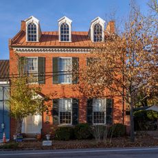
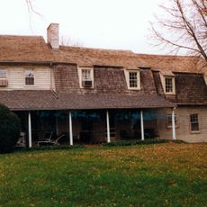
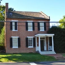
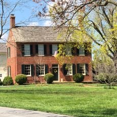
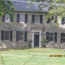
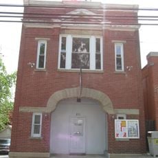
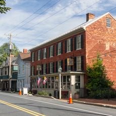
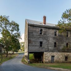
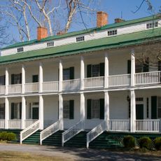
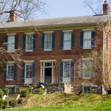
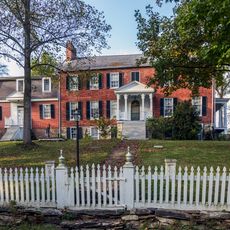
Mount Airy Historic District is a 102-acre area with commercial buildings, residences, and three churches built mainly between 1880 and 1920. The structures display styles from late Victorian to Bungalow periods and spread along Main Street and nearby streets.

History

The area developed into a railroad center after the Baltimore and Ohio Railroad Station opened in 1882, following the arrival of trains in 1838. Multiple fires between 1903 and 1926 destroyed many buildings, leading to rebuilding and changes in how the district looked.

Culture

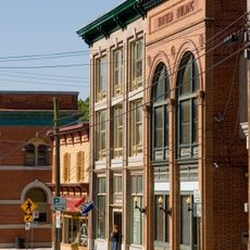
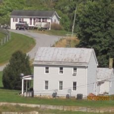
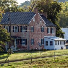
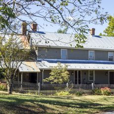
The streets show mainly houses built in styles from the late 1800s to early 1900s, with details that reveal how craftspeople worked then. You can see how the buildings shaped the neighborhood and what role churches and shops played in people's daily life.

Practical

The best way to explore the area is a relaxed walk through Main Street and surrounding streets. There are many buildings to see, so take your time and notice the differences between older and newer structures.

Did you know?

The rebuild structures after the fires often display more modern construction methods, giving them a different look than the original buildings. Those who look closely can read these changes in the architecture and trace the story of the place through its facades.

Location
GPS coordinates
39.37530,-77.15580
Latest update
December 14, 2025 16:44

AroundUs brings together thousands of curated places, local tips, and hidden gems, enriched daily by 60,000 contributors worldwide. Discover all places nearby (Maryland).

Around this place
Patuxent River State Park
United States of America

Patuxent River State Park

17.6 km
Oakdale Manor
United States of America

Oakdale Manor

11.6 km
Hugg-Thomas Wildlife Management Area
United States of America

Hugg-Thomas Wildlife Management Area

15.5 km
Howard Lodge
United States of America

Howard Lodge

19.1 km
Warfield Complex, Hubner, and T Buildings
United States of America

Warfield Complex, Hubner, and T Buildings

16.7 km
Crum Road Bridge
United States of America

Crum Road Bridge

19.3 km
Sykesville Historic District
United States of America

Sykesville Historic District

16.1 km
Roberts Inn
United States of America

Roberts Inn

13 km
Wesley Chapel Methodist Episcopal Church
United States of America

Wesley Chapel Methodist Episcopal Church

17 km
Round About Hills
United States of America

Round About Hills

15.6 km
Little Pipe Creek bridge and viaduct
United States of America

Little Pipe Creek bridge and viaduct

9 km
Abraham Jones House
United States of America

Abraham Jones House

14.2 km
Cherry Grove
United States of America

Cherry Grove

10.5 km
Fat Oxen
United States of America

Fat Oxen

17.9 km
Layton House
United States of America

Layton House

18.2 km
Hobson's Choice
United States of America

Hobson's Choice

9.4 km
Thomas Maynard House
United States of America

Thomas Maynard House

12.3 km
New Windsor Historic District
United States of America

New Windsor Historic District

19.1 km
Drummine Farm
United States of America

Drummine Farm

9.6 km
Stoner-Saum Farm
United States of America

Stoner-Saum Farm

17.8 km
McMurray-Frizzell-Aldridge Farm
United States of America

McMurray-Frizzell-Aldridge Farm

13.9 km
The Original Playhouse Children's Museum
United States of America

The Original Playhouse Children's Museum

9.9 km
New Market Historic District
United States of America

New Market Historic District

9.9 km
McKinstry's Mills Historic District
United States of America

McKinstry's Mills Historic District

17.7 km
Landon House
United States of America

Landon House

17.3 km
Old National Pike Milestones
United States of America

Old National Pike Milestones

10.8 km
Linganore Farm
United States of America

Linganore Farm

18 km
Hopewell
United States of America

Hopewell

17.3 km
Show the full map
« Mount Airy Historic District - National Historic District in Mount Airy, Maryland » is provided by Around Us (aroundus.com). Images and texts are derived from Wikimedia project under a Creative Commons license. You are allowed to copy, distribute, and modify copies of this page, under the conditions set by the license, as long as this note is clearly visible.

Discover hidden gems everywhere you go!

From secret cafés to breathtaking viewpoints, skip the crowded tourist spots and find places that match your style. Our app makes it easy with voice search, smart filtering, route optimization, and insider tips from travelers worldwide. Download now for the complete mobile experience.

Around Us App Screenshot

A unique approach to discovering new places

Le Figaro

All the places worth exploring

France Info

A tailor-made excursion in just a few clicks

20 Minutes

Around Us
Travel Guide & Maps
Download

Send to your phone

QR Code
1

Open the camera app on your mobile.

2

Point at the QR code with your camera. A notification will appear.

3

Tap the notification to open the link.