·

Enable Location

We need your location to show you interesting places around you

Discover nearby places

Find interesting locations and hidden gems around you

Precise directions

Get accurate directions and distances to places

Your location is never shared with other users. It's only used when you tap the location button.

Plymouth Village Historic District

Log in to your account

Start exploring — it's free

Trusted by 62,635 travelers worldwide

Continue with Google
Continue with Apple
or

We will send you a code to connect

By continuing, you accept our Terms and Conditions and our Privacy Policy

Check your inbox

We've sent a pincode in your inbox. Please enter the code below.

Plymouth Village Historic District, Colonial historic district in Plymouth, Massachusetts, United States.

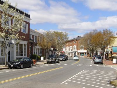
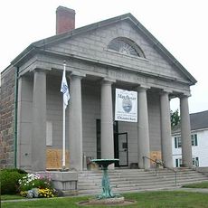
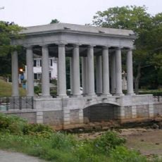
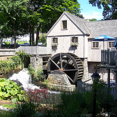
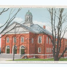
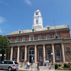
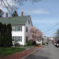
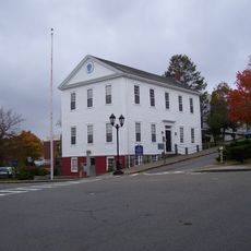
Plymouth Village Historic District is a historic area extending from North Street to Town Brook, encompassing buildings along Water Street, Court Street, and Main Street. The district contains a mix of residential, commercial, and public structures spanning several centuries that show how an early colonial settlement developed.

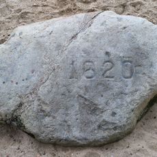
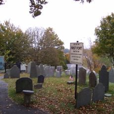
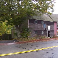
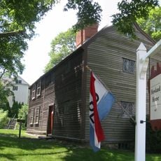
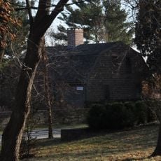
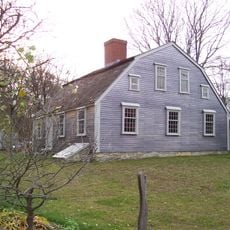
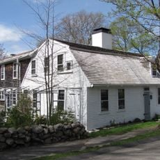
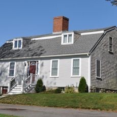
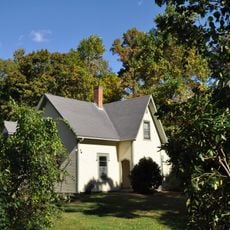
The area was established in the 1630s, and several of its oldest buildings including the Richard Sparrow House from 1640 and Harlow Old Fort House from 1677 date to the early colonial period. These structures show how early settlers built their homes and how the community grew in its first decades.

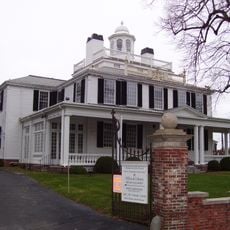
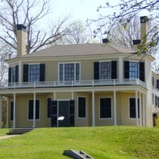
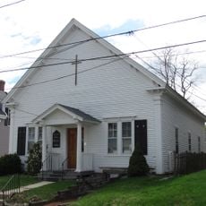
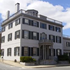
The buildings display architectural styles from Georgian to Greek Revival periods, reflecting how New England design changed over time. Walking through the streets, visitors can see these differences in the details of windows, doors, and building facades.

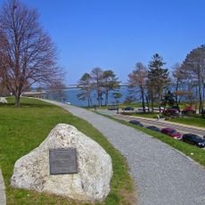
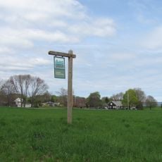
Visitors can enter the district through Water Street and walk through the streets to see the various buildings up close. Information signs are located at several points throughout the area and provide context for the buildings you encounter.

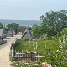
Leyden Street in the district preserves its original 17th-century layout and is one of the earliest streets laid out in colonial New England. The street demonstrates how early residents organized and planned their settlement.

The community of curious travelers

AroundUs brings together thousands of curated places, local tips, and hidden gems, enriched daily by 60,000 contributors worldwide.

Start exploring
Location
GPS coordinates
41.95722,-70.66361
Latest update
December 14, 2025 11:25
Around this place
Plymouth Rock
United States of America

Plymouth Rock

133 m
National Monument to the Forefathers
United States of America

National Monument to the Forefathers

1.1 km
Mayflower II
United States of America

Mayflower II

318 m
Burial Hill
United States of America

Burial Hill

239 m
Plimoth Patuxet
United States of America

Plimoth Patuxet

3.7 km
Cole's Hill
United States of America

Cole's Hill

76 m
Pilgrim Hall Museum
United States of America

Pilgrim Hall Museum

412 m
Richard Sparrow House
United States of America

Richard Sparrow House

360 m
Pilgrim Memorial State Park
United States of America

Pilgrim Memorial State Park

195 m
Jabez Howland House
United States of America

Jabez Howland House

313 m
Alexander Standish House
United States of America

Alexander Standish House

5.8 km
Plimoth Patuxet Museums
United States of America

Plimoth Patuxet Museums

3.8 km
Harlow Old Fort House
United States of America

Harlow Old Fort House

791 m
Mayflower House Museum
United States of America

Mayflower House Museum

102 m
Parting Ways
United States of America

Parting Ways

5.9 km
Jenney Grist Mill
United States of America

Jenney Grist Mill

428 m
Duxbury Pier Light
United States of America

Duxbury Pier Light

3.6 km
Holmes Reservation
United States of America

Holmes Reservation

1.8 km
Sgt. William Harlow Family Homestead
United States of America

Sgt. William Harlow Family Homestead

997 m
Plymouth Antiquarian House
United States of America

Plymouth Antiquarian House

487 m
Memorial Hall
United States of America

Memorial Hall

510 m
Plymouth Post Office Building
United States of America

Plymouth Post Office Building

156 m
Clifford-Warren House
United States of America

Clifford-Warren House

4.3 km
Bethel African Methodist Episcopal Church and Parsonage
United States of America

Bethel African Methodist Episcopal Church and Parsonage

438 m
Hillside
United States of America

Hillside

1.7 km
Bartlett-Russell-Hedge House
United States of America

Bartlett-Russell-Hedge House

301 m
Bradford-Union Street Historic District
United States of America

Bradford-Union Street Historic District

333 m
Old County Courthouse
United States of America

Old County Courthouse

207 m
Show the full map
« Plymouth Village Historic District - Colonial historic district in Plymouth, Massachusetts, United States » is provided by Around Us (aroundus.com). Images and texts are derived from Wikimedia project under a Creative Commons license. You are allowed to copy, distribute, and modify copies of this page, under the conditions set by the license, as long as this note is clearly visible.

Discover hidden gems everywhere you go!

From secret cafés to breathtaking viewpoints, skip the crowded tourist spots and find places that match your style. Our app makes it easy with voice search, smart filtering, route optimization, and insider tips from travelers worldwide. Download now for the complete mobile experience.

Around Us App Screenshot

A unique approach to discovering new places

Le Figaro

All the places worth exploring

France Info

A tailor-made excursion in just a few clicks

20 Minutes

Around Us
Travel Guide & Maps
Download

Send to your phone

QR Code
1

Open the camera app on your mobile.

2

Point at the QR code with your camera. A notification will appear.

3

Tap the notification to open the link.