Prairie Spirit Trail State Park, Rail trail in Kansas, United States.
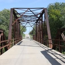
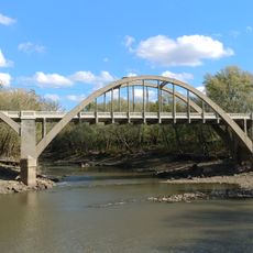
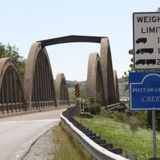
Prairie Spirit Trail is a 51 mile rail trail running from Ottawa to Iola through rolling hills, wooded valleys, and farmland in eastern Kansas. The path moves between open grasslands and forested creek bottoms, giving it a diverse landscape character along its entire length.
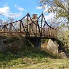
The route follows a railroad line built in the 1860s called the Leavenworth, Lawrence and Fort Gibson Railroad that connected the north and south of Kansas. In the 1990s this abandoned rail corridor was converted into a public trail, giving Kansas its first official rail trail for walkers and cyclists.
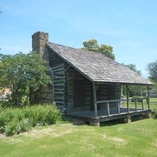
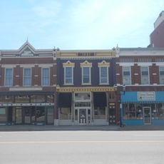
The trail runs through several rural communities whose names and character reflect the people who first lived on these plains. Walking through these small towns today, you encounter the legacy of the Kanza and Osage nations who shaped this land for centuries.
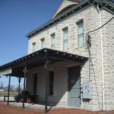
The trail has several starting points with parking lots, restrooms, and water stations in the towns of Ottawa, Princeton, Richmond, and Welda. These spread-out access points let visitors explore different sections based on their time and fitness level or hike the full route in stages.
At its northern end in Ottawa, the trail connects with the Flint Hills Nature Trail, allowing visitors to extend their hike seamlessly. This link creates a larger network for extended outdoor exploration across the region.
The community of curious travelers
AroundUs brings together thousands of curated places, local tips, and hidden gems, enriched daily by 60,000 contributors worldwide.