Chest opened
+${chestReward.xp} XP
Explorer
NOUVEAU ×${chestReward.collectible.quantity}
tapez pour fermer

See the monuments around you in AR Open chests in the app

Around Us is built for your phone — point your camera at the streets and discover the monuments and places around you in augmented reality. Around Us is built for your phone — chests unlock when you walk, explore and capture nearby places.

Enable Location

We need your location to show you interesting places around you

Discover nearby places

Find interesting locations and hidden gems around you

Precise directions

Get accurate directions and distances to places

Your location is never shared with other users. It's only used when you tap the location button.

Log in to your account

Start exploring — it's free

Trusted by 86,734 travelers worldwide

Continue with Google
Continue with Apple
or

We will send you a code to connect

By continuing, you accept our Terms and Conditions and our Privacy Policy

Check your inbox

We've sent a pincode in your inbox. Please enter the code below.

Russell Island
Discussion Reviews Photo
3.4k Popularity

Russell Island, River island in Clay Township, Michigan, United States

Russell Island is a residential community in the St. Clair River situated between the United States and Canada, consisting of around 150 cottages and residential dwellings. The island contains docks, walkways, and shared spaces designed for water-based access and pedestrian movement throughout the community.

The island developed in the early 1900s as a summer retreat, with steamboats bringing visitors from Detroit to the resort. Over time it transformed into a permanent residential community while retaining the water-based infrastructure and shared facilities from its tourist origins.

This place serves as a residential community where water-based living shapes daily routines and creates bonds between neighbors. People here embrace slower transportation and closer connections to nature, making the waterfront lifestyle central to how the community functions.

Getting to the island requires a passenger ferry or private boat from the mainland, as motorized vehicles are not permitted. Once there, visitors move around on foot or by golf cart, making navigation simple and safe throughout the small residential area.

The community is actually part of a cluster of small formations, including Anderson Island to the northwest and another area to the southwest. These neighboring landmasses are part of the same river system and reveal how the waterway created multiple connected settlement points.

The community of curious travelers

AroundUs brings together thousands of curated places, local tips, and hidden gems, enriched daily by 60,000 contributors worldwide.
Start exploring
Location
GPS coordinates
42.60830,-82.52890
Latest update
September 12, 2026 08:31
Around this place
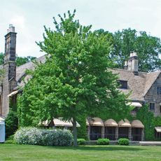
Edsel and Eleanor Ford House
United States of America

Edsel and Eleanor Ford House

20.4 mi
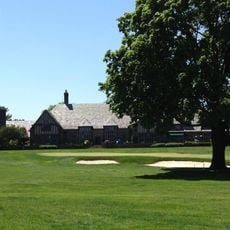
Country Club of Detroit
United States of America

Country Club of Detroit

23 mi
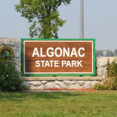
Algonac State Park
United States of America

Algonac State Park

3 mi
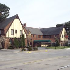
St. Clair Inn
United States of America

St. Clair Inn

15.3 mi
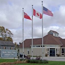
Uncle Tom's Cabin Historic Site
Canada

Uncle Tom's Cabin Historic Site

17 mi
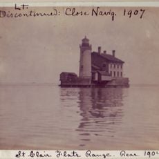
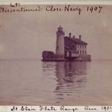
St. Clair Flats Front and Rear Range Light
United States of America

St. Clair Flats Front and Rear Range Light

9.8 mi
Emerald Theatre
United States of America

Emerald Theatre

17.8 mi
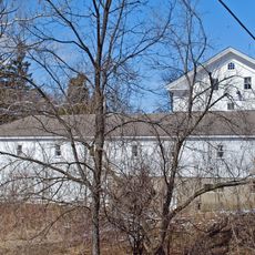
Wolcott Mill
United States of America

Wolcott Mill

23 mi
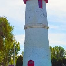
Peche Island Rear Range Light
United States of America

Peche Island Rear Range Light

7.7 mi
Wallaceburg and District Museum
Canada

Wallaceburg and District Museum

8.4 mi
Marine City Water Works
United States of America

Marine City Water Works

7.8 mi
Marine City City Hall
United States of America

Marine City City Hall

7.9 mi
LeRoy Smith House
United States of America

LeRoy Smith House

2.4 mi
First Congregational Church
United States of America

First Congregational Church

18.4 mi
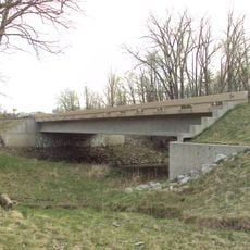
Wadhams Road–Pine River Bridge
United States of America

Wadhams Road–Pine River Bridge

18.3 mi
Ward–Holland House
United States of America

Ward–Holland House

8.2 mi
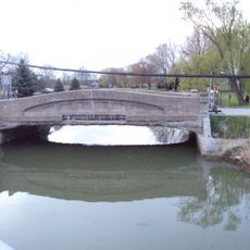
Vernier Street–Swan Creek Bridge
United States of America

Vernier Street–Swan Creek Bridge

8.3 mi
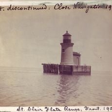
St. Clair Flats Range Front Light
United States of America

St. Clair Flats Range Front Light

9.7 mi
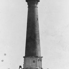
Lake St. Clair light
United States of America

Lake St. Clair light

15.2 mi
St. Clair Flats Rear Range Light
United States of America

St. Clair Flats Rear Range Light

9.5 mi
Church of the Annunciation
Canada

Church of the Annunciation

21.1 mi
St. Joseph's Church
Canada

St. Joseph's Church

22.5 mi
The Continental at Ford House
United States of America

The Continental at Ford House

20.5 mi
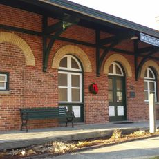
Michigan Transit Museum
United States of America

Michigan Transit Museum

18.5 mi
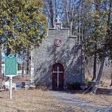
Kolping Park and Chapel
United States of America

Kolping Park and Chapel

6.7 mi
Josiah Henson House
Canada

Josiah Henson House

17 mi
Ursuline Motherhouse and the Pines Chapel
Canada

Ursuline Motherhouse and the Pines Chapel

22 mi
Lighthouse/Lighthouse Cove
Canada

Lighthouse/Lighthouse Cove

20.5 mi
Show the full map
Reviews
Share your experience

No review yet

Discussions
Start a discussion...

No discussion yet

« Russell Island - River island in Clay Township, Michigan, United States » is provided by Around Us (aroundus.com). Images and texts are derived from Wikimedia project under a Creative Commons license. You are allowed to copy, distribute, and modify copies of this page, under the conditions set by the license, as long as this note is clearly visible.

Discover hidden gems everywhere you go!

From secret cafés to breathtaking viewpoints, skip the crowded tourist spots and find places that match your style. Our app makes it easy with voice search, smart filtering, route optimization, and insider tips from travelers worldwide. Download now for the complete mobile experience.
Around Us App Screenshot

A unique approach to discovering new places

Le Figaro

All the places worth exploring

France Info

A tailor-made excursion in just a few clicks

20 Minutes

Around Us
Travel Guide & Maps
Download

Send to your phone

QR Code
1

Open the camera app on your mobile.

2

Point at the QR code with your camera. A notification will appear.

3

Tap the notification to open the link.