Chest opened
+${chestReward.xp} XP
Explorer
NOUVEAU ×${chestReward.collectible.quantity}
tapez pour fermer
Chest locked

Open chests in the app

Around Us is built for your phone — chests unlock when you walk, explore and capture nearby places.

Enable Location

We need your location to show you interesting places around you

Discover nearby places

Find interesting locations and hidden gems around you

Precise directions

Get accurate directions and distances to places

Your location is never shared with other users. It's only used when you tap the location button.

Log in to your account

Start exploring — it's free

Trusted by 73,005 travelers worldwide

Continue with Google
Continue with Apple
or

We will send you a code to connect

By continuing, you accept our Terms and Conditions and our Privacy Policy

Check your inbox

We've sent a pincode in your inbox. Please enter the code below.

South Side, Providence, Rhode Island
Discussion Reviews Photo
3.7k Popularity

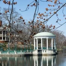
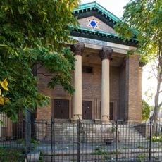
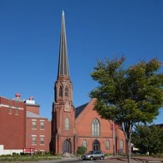
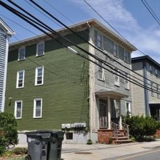
South Side, Providence, Rhode Island, Residential district in southern Providence, United States

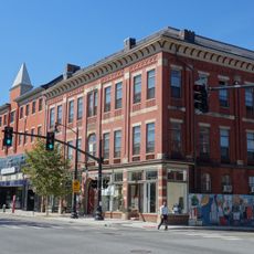
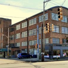
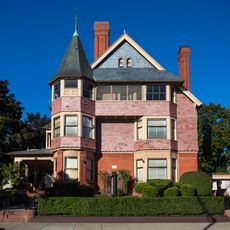
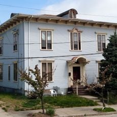
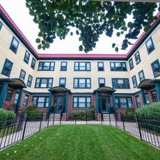
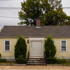
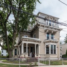
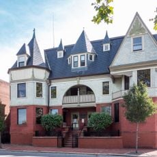
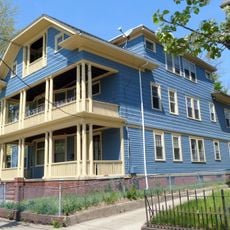
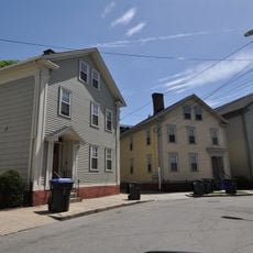
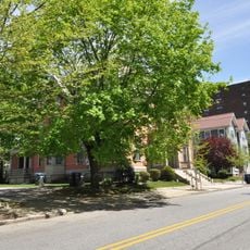
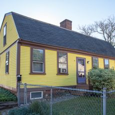
South Side of Providence is a residential district that includes neighborhoods such as Upper and Lower South Providence, Elmwood, West End, and Washington Park. The area consists of mixed housing types, local businesses, and several major medical facilities serving the surrounding community.

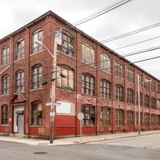
Development began in the 1830s when the New York, Providence and Boston Railroad established its first station at a pier south of downtown. This railroad connection brought industry and settlers to the area, shaping its growth for decades to come.

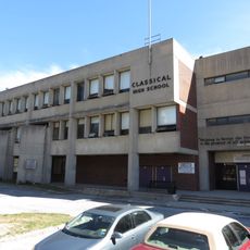
Hispanic, African American, and Asian residents shape daily life through shops, restaurants, and community spaces found throughout the neighborhood. The cultural diversity is visible in local businesses and street activity that reflect the communities living here.

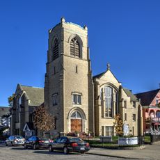
The district has major hospitals including Rhode Island Hospital, Women & Infants Hospital, and Hasbro Children's Hospital that serve visitors and residents. These medical facilities are clearly marked landmarks that help orient you within the neighborhood.

The Pine and Friendship Street area served as a military camp for French troops under Rochambeau in 1781 before their march to Yorktown. This historical role connects the neighborhood to a critical moment in the American Revolutionary War.

The community of curious travelers

AroundUs brings together thousands of curated places, local tips, and hidden gems, enriched daily by 60,000 contributors worldwide.

Start exploring
Location
GPS coordinates
41.80400,-71.42400
Latest update
December 11, 2025 18:11
Around this place
Roger Williams Park Zoo
United States of America

Roger Williams Park Zoo

1.7 km
Classical High School
United States of America

Classical High School

1.5 km
Cranston Street Armory
United States of America

Cranston Street Armory

1.4 km
Statue of Christopher Columbus
United States of America

Statue of Christopher Columbus

815 m
Messer Street Grounds
United States of America

Messer Street Grounds

1.5 km
Temple Beth-El
United States of America

Temple Beth-El

382 m
Westminster Street Historic District
United States of America

Westminster Street Historic District

1.5 km
Broadway-Armory Historic District
United States of America

Broadway-Armory Historic District

1.4 km
St. Michael's Roman Catholic Church, Convent, Rectory, and School
United States of America

St. Michael's Roman Catholic Church, Convent, Rectory, and School

879 m
Elmwood Historic District
United States of America

Elmwood Historic District

694 m
Providence Gas Company Purifier House
United States of America

Providence Gas Company Purifier House

1.8 km
Israel B. Mason House
United States of America

Israel B. Mason House

529 m
Rhodes Street Historic District
United States of America

Rhodes Street Historic District

1.3 km
Ontario Apartments
United States of America

Ontario Apartments

569 m
Trinity Square Historic District
United States of America

Trinity Square Historic District

915 m
Pine Street Historic District
United States of America

Pine Street Historic District

1.2 km
South Providence Library-Providence Community Library
United States of America

South Providence Library-Providence Community Library

882 m
Jones Warehouses
United States of America

Jones Warehouses

1.1 km
David Sprague House
United States of America

David Sprague House

716 m
Richard Henry Deming House
United States of America

Richard Henry Deming House

315 m
William J. Braitsch and Company Plant
United States of America

William J. Braitsch and Company Plant

293 m
Aylesworth Apartments
United States of America

Aylesworth Apartments

1.5 km
Wesleyan Avenue Historic District
United States of America

Wesleyan Avenue Historic District

553 m
Plymouth Congregational Church
United States of America

Plymouth Congregational Church

1.2 km
Perkins Buildings
United States of America

Perkins Buildings

872 m
Bridgham–Arch–Wilson Streets Historic District
United States of America

Bridgham–Arch–Wilson Streets Historic District

912 m
Parkis-Comstock Historic District
United States of America

Parkis-Comstock Historic District

509 m
Matthew Lynch House
United States of America

Matthew Lynch House

647 m
Show the full map
Reviews
Share your experience

No review yet

Discussions
Start a discussion...

No discussion yet

« South Side, Providence, Rhode Island - Residential district in southern Providence, United States » is provided by Around Us (aroundus.com). Images and texts are derived from Wikimedia project under a Creative Commons license. You are allowed to copy, distribute, and modify copies of this page, under the conditions set by the license, as long as this note is clearly visible.

Discover hidden gems everywhere you go!

From secret cafés to breathtaking viewpoints, skip the crowded tourist spots and find places that match your style. Our app makes it easy with voice search, smart filtering, route optimization, and insider tips from travelers worldwide. Download now for the complete mobile experience.

Around Us App Screenshot

A unique approach to discovering new places

Le Figaro

All the places worth exploring

France Info

A tailor-made excursion in just a few clicks

20 Minutes

Around Us
Travel Guide & Maps
Download

Send to your phone

QR Code
1

Open the camera app on your mobile.

2

Point at the QR code with your camera. A notification will appear.

3

Tap the notification to open the link.