
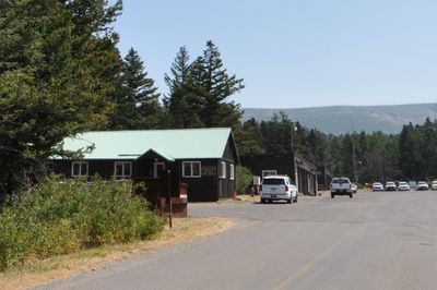
St. Mary Utility Area Historic District
St. Mary Utility Area Historic District, St. Mary, Montana
Location: Glacier County
Architectural style: National Park Service rustic
GPS coordinates: 48.73918,-113.42918
Latest update: March 10, 2025 04:26
Triple Divide Peak
19.6 km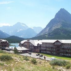
Many Glacier Hotel
18 km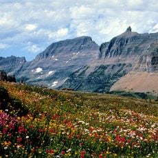
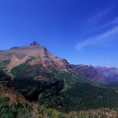
Garden Wall
21 km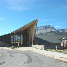
Saint Mary Visitor Center, Entrance Station and Checking Stations
783 m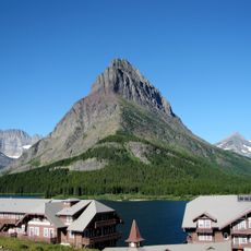
Grinnell Point
19.4 km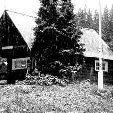
Cut Bank Ranger Station Historic District
15.3 km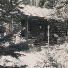
Sun Camp Fireguard Cabin
13.5 km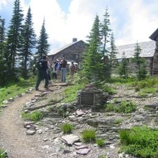
Glacier National Park Tourist Trails
11 km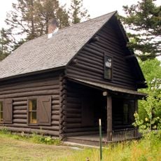
Saint Mary Ranger Station
602 m
Swiftcurrent Auto Camp Historic District
19.4 km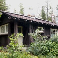
Many Glacier Campground Camptender's Cabin
19.3 km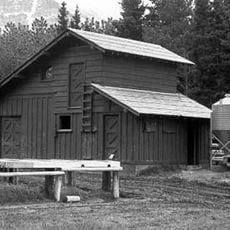
Many Glacier Barn and Bunkhouse
17.2 km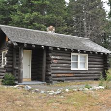
Roes Creek Campground Camptender's Cabin
8.4 km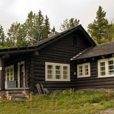
Sherburne Ranger Station Historic District
14.4 km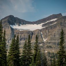
Piegan Glacier
19 km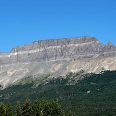
Singleshot Mountain
5 km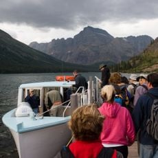
Morning Eagle
18.4 km
Razoredge Mountain
21.3 km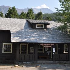
Swiftcurrent Ranger Station Historic District
19 km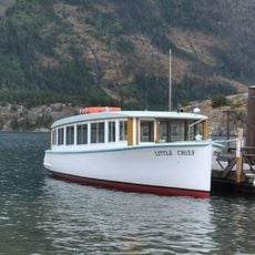
Little Chief
8.9 km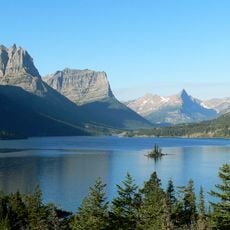
Saint Mary Lake
9.2 km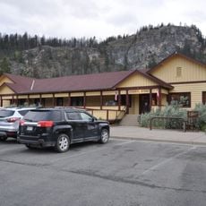
Rising Sun Auto Camp Historic District
8.1 km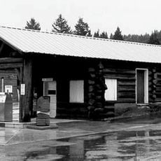
St. Mary Utility Area Gas and Oil House
109 m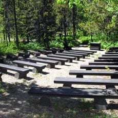
Many Glacier Campground
19.3 km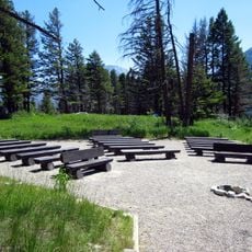
Rising Sun Campground
8.3 km
Rising Sun Campground Amphitheater
8.4 km
Many Glacier Campground Amphitheater
19.4 km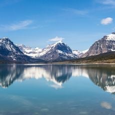
Lake Sherburne
13.9 kmReviews
Visited this place? Tap the stars to rate it and share your experience / photos with the community! Try now! You can cancel it anytime.
Discover hidden gems everywhere you go!
From secret cafés to breathtaking viewpoints, skip the crowded tourist spots and find places that match your style. Our app makes it easy with voice search, smart filtering, route optimization, and insider tips from travelers worldwide. Download now for the complete mobile experience.

A unique approach to discovering new places❞
— Le Figaro
All the places worth exploring❞
— France Info
A tailor-made excursion in just a few clicks❞
— 20 Minutes