Glacier National Park Tourist Trails, Historic district in Glacier National Park, Montana, United States.
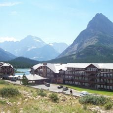
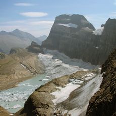
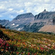
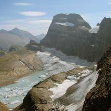
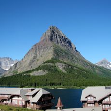
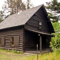
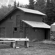
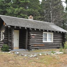
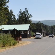
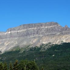
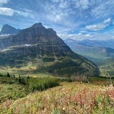
The tourist trail network in Glacier National Park spans 375 historic structures, including six National Historic Landmarks connected by pathways. The routes link mountain lodges, chalets, and other buildings set across varying elevations and terrain.
The trail system developed starting in the 1910s with construction of lodges and chalets that demonstrate National Park Service architecture of that era. These structures mark the beginning of organized tourism in this mountain region.
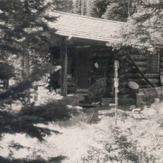
The trails take their names from the routes run by the Park Saddle Horse Company, which from 1925 led multi-day horseback excursions between the tent camps at Cosley Lake, Goathaunt, Fifty Mountain and Red Eagle and the chalets at Granite Park and Sperry. Riders stopped in turn at each camp or chalet, and the loop itineraries of the North and South Circle trails follow those stopping points.
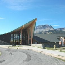
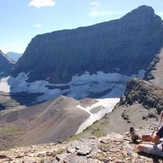
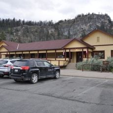
The three systems meet at ranger stations and visitor centres at Many Glacier, Two Medicine, Cut Bank, Saint Mary and Goathaunt. The North Circle crosses the Ptarmigan Wall through the Ptarmigan Tunnel, cut and blasted from the cliffside to avoid a long detour around the arête. Packer's Roost West, near the Going-to-the-Sun Road, is the base for pack trips and service runs to Sperry and Granite Park chalets.
The North Circle Trail's summit section was cut and blasted from the cliffside of the Ptarmigan Wall, and the route passes through the Ptarmigan Tunnel to avoid a lengthy detour around the arête. The Park Saddle Horse Company ran multi-day excursions along the trail from 1925, stopping in turn at each tent camp or chalet.
The community of curious travelers
AroundUs brings together thousands of curated places, local tips, and hidden gems, enriched daily by 94,853 contributors worldwide.