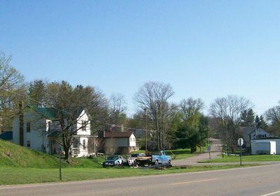
Watertown, Ohio, Historic district in Watertown Township, Ohio, United States.
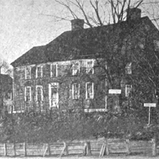
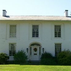
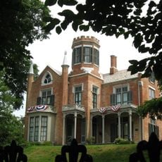
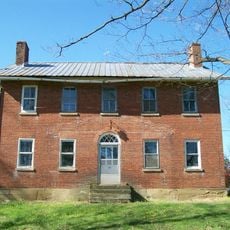
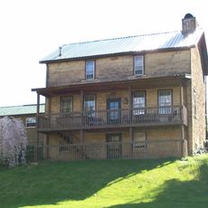
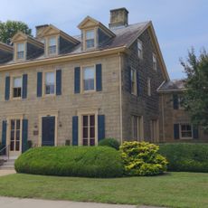
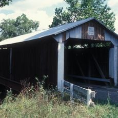
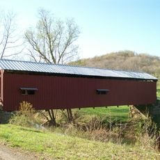
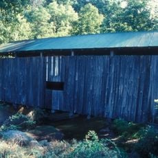
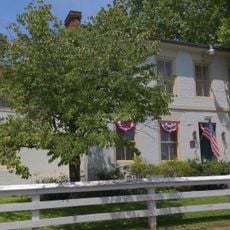
Watertown Historic District is a collection of seventy-five buildings scattered across the township, including a few brick structures and many painted white wooden constructions. The buildings represent different construction styles that developed in the area during the decades following the Civil War.
The buildings were constructed between the Civil War and World War I, reflecting how the area grew during that transformative period. The district gained recognition on the National Register of Historic Places in 1986.
Local craftspeople integrated Stick-Eastlake decorative details into their buildings, creating a distinctive look throughout the district. This architectural choice remains visible in the way the structures stand out against the landscape today.
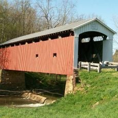
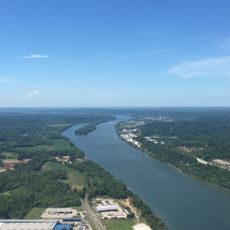
The district is located near where State Routes 339 and 676 intersect, making it straightforward to find. Wolf Creek runs through the northern side of the area, providing natural landmarks to help with orientation.
A post office opened here in 1826, followed two years later by the town's first merchant store. This early pairing of government services and local commerce shaped how the community developed from the start.
The community of curious travelers
AroundUs brings together thousands of curated places, local tips, and hidden gems, enriched daily by 60,000 contributors worldwide.