
Muncy Creek Township, township in southern Lycoming County, Pennsylvania
Location: Lycoming County
Inception: 1773
Elevation above the sea: 160 m
GPS coordinates: 41.19583,-76.76917
Latest update: April 7, 2025 11:05
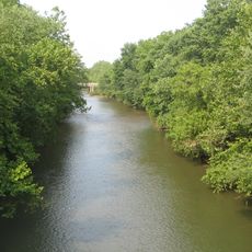
Muncy Creek
3.3 km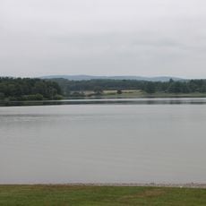
Lake Chillisquaque
13.6 km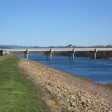
Carl E. Stotz Memorial Little League Bridge
15.8 km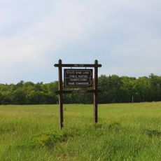
State Game Lands Number 226
16.2 km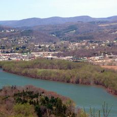
Canfield Island Site
16.2 km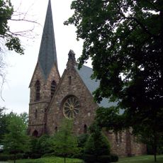
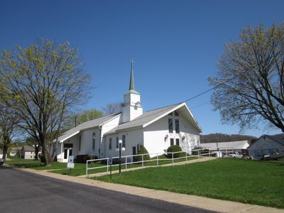
St. James Episcopal Church
1.5 km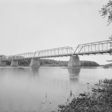
Allenwood River Bridge
14.1 km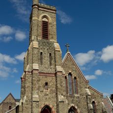
Christ Episcopal Church
20 km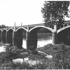
Watsontown River Bridge
15.1 km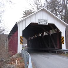
Factory Bridge
17.7 km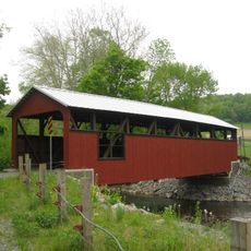
Lairdsville Covered Bridge
11.2 km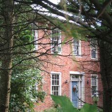
William Kirk House
11.4 km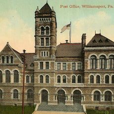
City Hall
20.5 km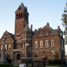
Williamsport City Hall
20.4 km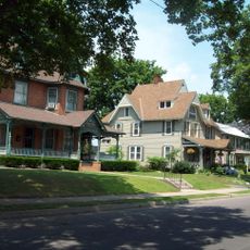
Muncy Historic District
1.6 km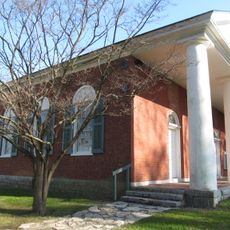
Warrior Run Presbyterian Church
11.3 km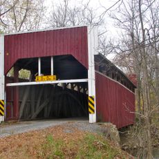
Keefer Covered Bridge No. 7
19.2 km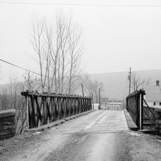
Reading-Halls Station Bridge
6.9 km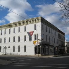
Milton Historic District
20.5 km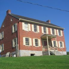
Hower-Slote House
10.7 km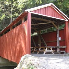
Shoemaker Covered Bridge
20.1 km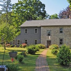
Hopper-Snyder Homestead
13.4 km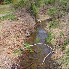
Cox Run
4.2 km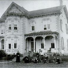
Benjamin Griffey House
18.4 km
Trout Pond Park
3.4 km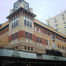
Community Arts Center
20.4 km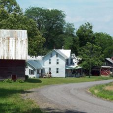
Houseknecht Farm
10.3 km
James V.Brown Library Bookmobile
20.1 kmReviews
Visited this place? Tap the stars to rate it and share your experience / photos with the community! Try now! You can cancel it anytime.
Discover hidden gems everywhere you go!
From secret cafés to breathtaking viewpoints, skip the crowded tourist spots and find places that match your style. Our app makes it easy with voice search, smart filtering, route optimization, and insider tips from travelers worldwide. Download now for the complete mobile experience.

A unique approach to discovering new places❞
— Le Figaro
All the places worth exploring❞
— France Info
A tailor-made excursion in just a few clicks❞
— 20 Minutes