Chest opened
+${chestReward.xp} XP
Explorer
NOUVEAU ×${chestReward.collectible.quantity}
tapez pour fermer

See the monuments around you in AR Open chests in the app

Around Us is built for your phone — point your camera at the streets and discover the monuments and places around you in augmented reality. Around Us is built for your phone — chests unlock when you walk, explore and capture nearby places.

Enable Location

We need your location to show you interesting places around you

Discover nearby places

Find interesting locations and hidden gems around you

Precise directions

Get accurate directions and distances to places

Your location is never shared with other users. It's only used when you tap the location button.

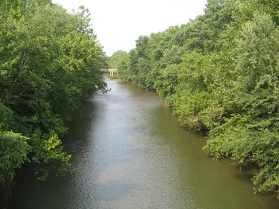
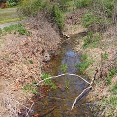
Muncy Creek

Log in to your account

Start exploring — it's free

Trusted by 86,178 travelers worldwide

Continue with Google
Continue with Apple
or

We will send you a code to connect

By continuing, you accept our Terms and Conditions and our Privacy Policy

Check your inbox

We've sent a pincode in your inbox. Please enter the code below.

Muncy Creek
Discussion Reviews 1 Photos
4k Popularity

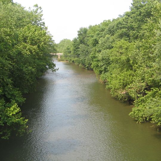
Muncy Creek, Tidal creek in Lycoming County and Sullivan County, Pennsylvania

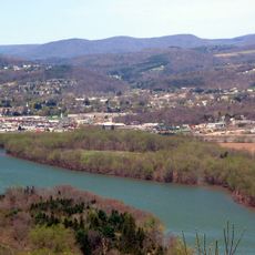
Muncy Creek is a waterway flowing through Lycoming and Sullivan counties in Pennsylvania, originating from the Allegheny Plateau. It winds its way downward and joins the West Branch Susquehanna River at a lower elevation.

Originally called Occohpocheny by Native Americans, the region saw European settlement beginning in 1783. Mills were built along the banks to harness the water's power for grinding grain and other industrial purposes.

The creek and its surrounding communities support various recreational activities, including fishing for wild trout populations and canoeing along its 24-mile navigable stretch.

Visitors commonly use this waterway for paddling and fishing, especially on the section that allows boat passage. Access is easiest from the surrounding communities where boat launch points and local roads meet the water.

This waterway holds a special protection status upstream that recognizes its ecological worth. This designation makes it a critical area for rare aquatic organisms and migrating fish species.

The community of curious travelers

AroundUs brings together thousands of curated places, local tips, and hidden gems, enriched daily by 60,000 contributors worldwide.
Start exploring
Location
Location
GPS coordinates
41.21037,-76.80294
Latest update
September 12, 2026 09:24
Around this place
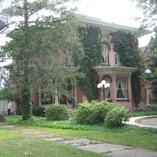
Millionaire's Row Historic District
United States of America

Millionaire's Row Historic District

11.3 mi
Lake Chillisquaque
United States of America

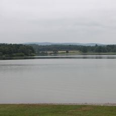
Lake Chillisquaque

10.4 mi
Carl E. Stotz Memorial Little League Bridge
United States of America

Carl E. Stotz Memorial Little League Bridge

11.8 mi
Peter Herdic House
United States of America

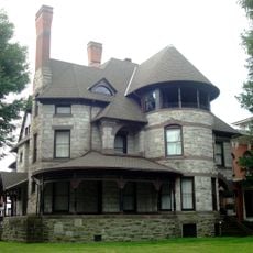
Peter Herdic House

10.9 mi
Canfield Island Site
United States of America

Canfield Island Site

8.1 mi
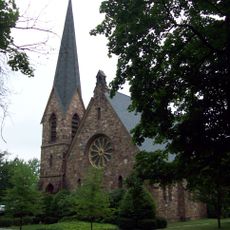
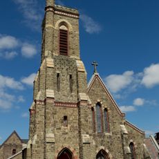
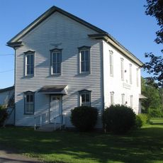
St. James Episcopal Church
United States of America

St. James Episcopal Church

1.1 mi
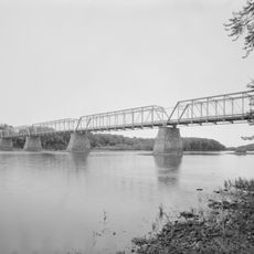
Allenwood River Bridge
United States of America

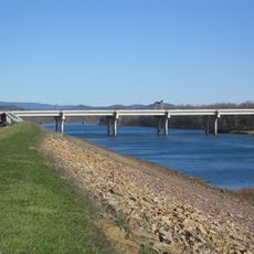
Allenwood River Bridge

8.4 mi
Christ Episcopal Church
United States of America

Christ Episcopal Church

10.5 mi
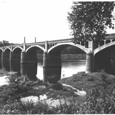
Watsontown River Bridge
United States of America

Watsontown River Bridge

9.5 mi
Factory Bridge
United States of America

Factory Bridge

10.8 mi
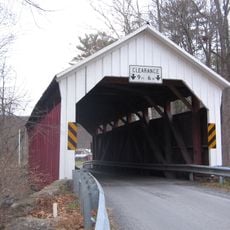
Lairdsville Covered Bridge
United States of America

Lairdsville Covered Bridge

8.7 mi
William Kirk House
United States of America

William Kirk House

7.7 mi
City Hall
United States of America

City Hall

10.8 mi
Williamsport City Hall
United States of America

Williamsport City Hall

10.7 mi
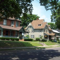
Muncy Historic District
United States of America

Muncy Historic District

1 mi
Warrior Run Presbyterian Church
United States of America

Warrior Run Presbyterian Church

7.7 mi
Eagle Grange No. 1
United States of America

Eagle Grange No. 1

6 mi
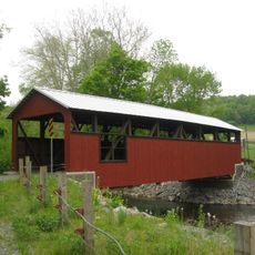
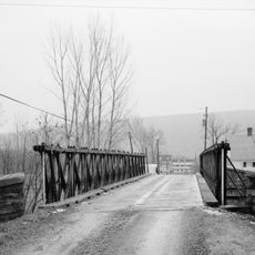
Reading-Halls Station Bridge
United States of America

Reading-Halls Station Bridge

2.3 mi
Hower-Slote House
United States of America

Hower-Slote House

7.5 mi
Madigan Library
United States of America

Madigan Library

11.5 mi
Hopper-Snyder Homestead
United States of America

Hopper-Snyder Homestead

8.5 mi
Cox Run
United States of America

Cox Run

4.6 mi
Benjamin Griffey House
United States of America

Benjamin Griffey House

10.5 mi
Community Arts Center
United States of America

Community Arts Center

10.7 mi
Houseknecht Farm
United States of America

Houseknecht Farm

8.4 mi
James V.Brown Library Bookmobile
United States of America

James V.Brown Library Bookmobile

10.6 mi
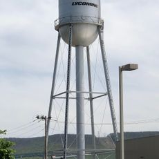
Water tower, Williamsport, PA
United States of America

Water tower, Williamsport, PA

11.4 mi
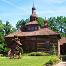
Holy Cross Orthodox Church, Williamsport, PA
United States of America

Holy Cross Orthodox Church, Williamsport, PA

9.3 mi
Show the full map
Reviews
Share your experience

No review yet

Discussions
Start a discussion...

No discussion yet

« Muncy Creek - Tidal creek in Lycoming County and Sullivan County, Pennsylvania » is provided by Around Us (aroundus.com). Images and texts are derived from Wikimedia project under a Creative Commons license. You are allowed to copy, distribute, and modify copies of this page, under the conditions set by the license, as long as this note is clearly visible.

Discover hidden gems everywhere you go!

From secret cafés to breathtaking viewpoints, skip the crowded tourist spots and find places that match your style. Our app makes it easy with voice search, smart filtering, route optimization, and insider tips from travelers worldwide. Download now for the complete mobile experience.
Around Us App Screenshot

A unique approach to discovering new places

Le Figaro

All the places worth exploring

France Info

A tailor-made excursion in just a few clicks

20 Minutes

Around Us
Travel Guide & Maps
Download

Send to your phone

QR Code
1

Open the camera app on your mobile.

2

Point at the QR code with your camera. A notification will appear.

3

Tap the notification to open the link.