Lycoming County, Administrative county in Pennsylvania, United States
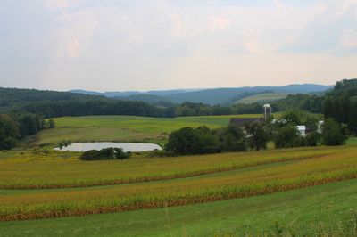
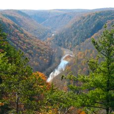
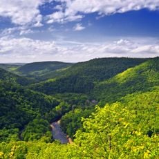
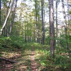
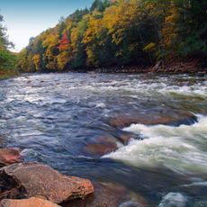
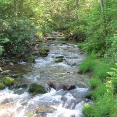
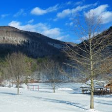
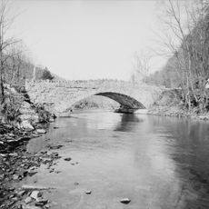
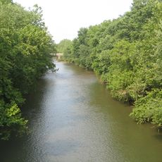
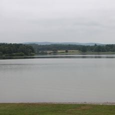
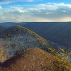
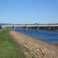
Lycoming County is an administrative division in north-central Pennsylvania that encompasses rolling terrain where the West Branch Susquehanna River winds through forested ridges and open valleys. The region combines compact towns and rural farmland with wooded areas, creating a landscape of varied geographic features.
The county was established in 1795 as a separate administrative area carved from an older jurisdiction, growing from European settlements that began arriving in the 1760s. Early settlers concentrated in communities like Muncy before spreading throughout the territory.
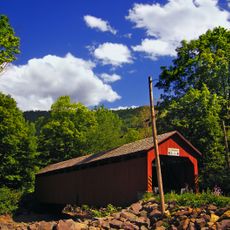
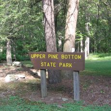
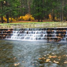
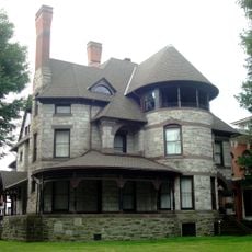
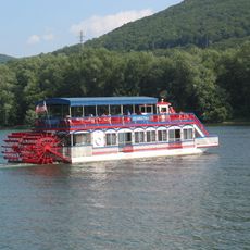
The county reflects a blend of industrial heritage and rural traditions, visible in how communities gather at local events and maintain family-owned businesses across generations. The landscape shows how residents live closely with natural surroundings, using parks and waterways as everyday gathering spaces.
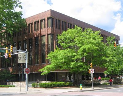
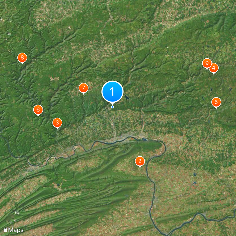
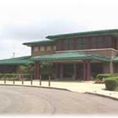
Visitors can access county services and facilities at various locations across the region, with main offices in larger towns and smaller branches in communities throughout the area. A car is practical for traveling through the territory since destinations spread across the landscape with limited public transportation options.
The region played a role in early industrial growth with mills and factories that shaped economic development before gradually shifting toward forestry and agricultural focus. Traces of this transition remain visible in older structures throughout communities and the way residents maintain connections to both industrial and rural heritage.
The community of curious travelers
AroundUs brings together thousands of curated places, local tips, and hidden gems, enriched daily by 60,000 contributors worldwide.