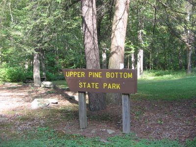
Upper Pine Bottom State Park, Roadside rest area in Cummings Township, United States
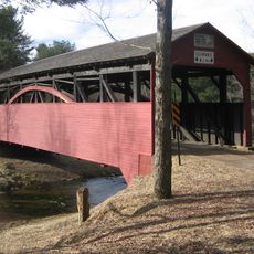
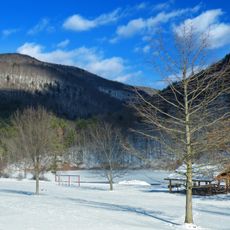
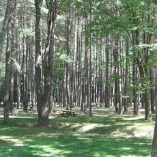
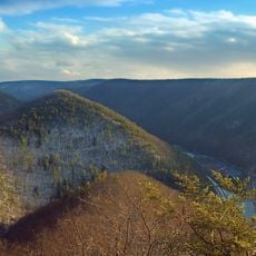
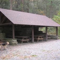
Upper Pine Bottom State Park is a small forest property spanning about 5 acres along Pennsylvania Route 44, featuring picnic tables positioned beside Upper Pine Bottom Run. The grounds offer basic facilities for visitors exploring the surrounding woodlands.
The land served as hunting territory for Iroquois and Algonkian peoples before becoming a public campground in 1923 and a state park designation in 1962. This transition reflects Pennsylvania's shift from resource extraction toward modern conservation.
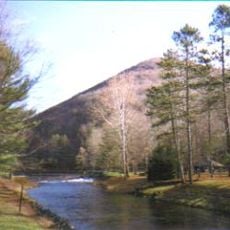
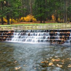
The name comes from the stream running through the property, reflecting how water shaped the region's economy and settlement patterns over time.
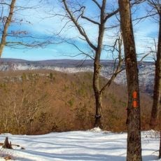
The park remains open year-round with limited parking available, making it suitable for brief roadside stops or starting points for walks into the surrounding forest. Visitors should expect basic facilities and plan their own access to the adjacent state forest lands.
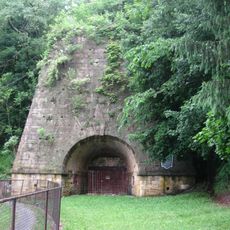
The creek once powered the region's first iron furnace around 1814 and supplied numerous sawmills during Pennsylvania's logging boom. This industrial past has faded from view, yet the waterway continues to shape the landscape today.
The community of curious travelers
AroundUs brings together thousands of curated places, local tips, and hidden gems, enriched daily by 60,000 contributors worldwide.