Loyalsock State Forest, State forest in Pennsylvania, United States
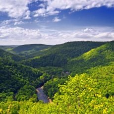
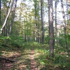
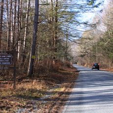
Loyalsock State Forest is a protected forest in northeastern Pennsylvania, made up largely of hardwood trees, rolling hills, sandstone formations, and several streams. A wide network of trails connects different parts of the land, passing through wetlands, creek valleys, and wooded ridges.
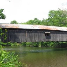
The land was long home to Lenape people before European settlers arrived in the 18th century and introduced logging and mining operations. When those industries declined, the state took over the land and placed it under protection in the 20th century, leaving behind ruins and old paths still visible today near former sites like Masten Village.
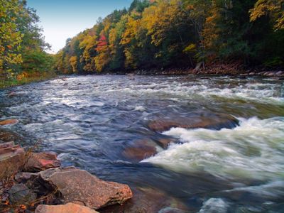
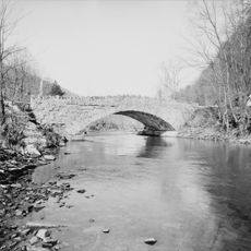
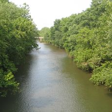
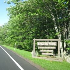
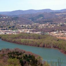
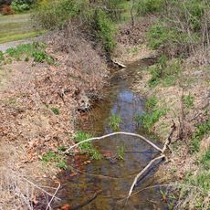
The forest takes its name from Loyalsock Creek, a waterway whose name comes from a Lenape word meaning "middle creek." Fishing along this creek is a common activity, and visitors often stop at its banks to watch the water move through the rocks.
The forest is open year-round, but trail conditions vary a lot by season, with some paths becoming muddy or icy depending on the weather. Carrying a printed map is a good idea since cell service can be unreliable in many parts of the forest.
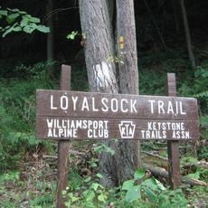
The Loyalsock Trail was built by volunteers in the 1930s and is considered one of Pennsylvania's oldest marked long-distance hiking routes. Parts of the trail follow old logging roads, so walkers sometimes come across remnants of the former timber industry hidden among the trees.
The community of curious travelers
AroundUs brings together thousands of curated places, local tips, and hidden gems, enriched daily by 60,000 contributors worldwide.