Old Loggers Path, Hiking trail in Lycoming County, US.
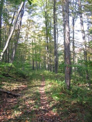
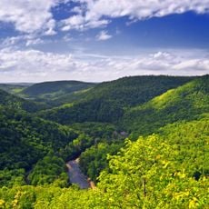
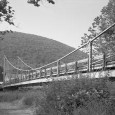
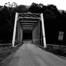
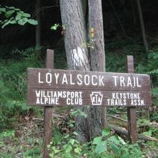
Old Loggers Path is a circular hiking trail through Loyalsock State Forest in Lycoming County, Pennsylvania, marked with orange blazes along its entire length. The route winds through dense woodland, following several streams including Rock Run, Pleasant Stream, and Wallis Run, and passes through the McIntyre Wild Area.
The route traces old transport corridors used by the Central Pennsylvania Lumber Company during the early 1900s, when this forest was heavily logged. After the timber companies left, the land gradually recovered, and the state forest was eventually established to protect what remained.
The trail passes near the ruins of Masten, a ghost town that once housed logging families deep in the forest. Visitors who look carefully along the route can still spot stone foundations and remnants of a community that disappeared when the timber industry moved on.
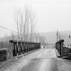
The trail can be started from several access points, though in winter Ellenton is often the only one reachable because snow blocks the other approach roads. Water sources are available along the route at streams, but all water should be filtered or treated before drinking.
Some sections of the trail follow the beds of old narrow-gauge railroads that were built solely to haul timber out of the forest in the early 1900s. These flat, straight stretches stand out in an otherwise hilly landscape and reveal the industrial past beneath the trees.
The community of curious travelers
AroundUs brings together thousands of curated places, local tips, and hidden gems, enriched daily by 60,000 contributors worldwide.