Enable Location

We need your location to show you interesting places around you

Discover nearby places

Find interesting locations and hidden gems around you

Precise directions

Get accurate directions and distances to places

Your location is never shared with other users. It's only used when you tap the location button.

Worlds End State Park

Log in to your account

Start exploring — it's free

Trusted by 63,300 travelers worldwide

Continue with Google
Continue with Apple
or

We will send you a code to connect

By continuing, you accept our Terms and Conditions and our Privacy Policy

Check your inbox

We've sent a pincode in your inbox. Please enter the code below.

Discussion Reviews 1 Photos
22.5k Popularity

Worlds End State Park, State park in Sullivan County, Pennsylvania.

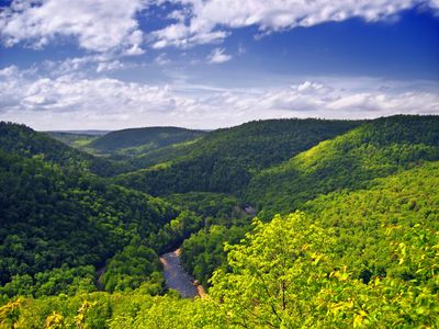
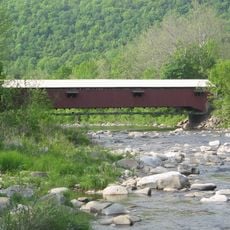
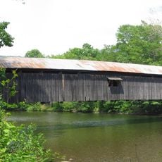
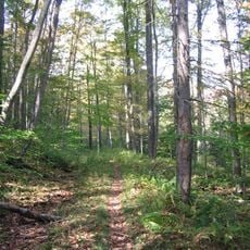
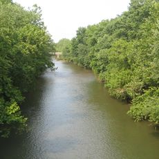
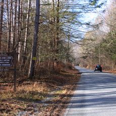
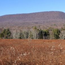
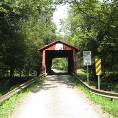
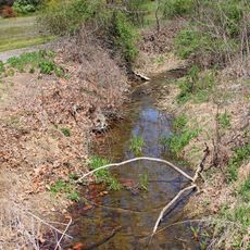
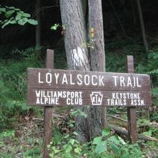
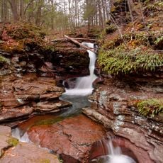
Worlds End State Park is a protected area in Sullivan County in northeastern Pennsylvania that stretches along the deeply carved Loyalsock Creek Valley. Rock outcrops rise above dense forest, while streams wind through the terrain and several hiking trails cross the valley.

Governor Gifford Pinchot founded the area in 1932 as part of his plan to create state parks across Pennsylvania. Between 1936 and 1943 it carried the name Whirls End State Forest Park before receiving its current designation.

Sunday morning services in the forest chapel during warm months draw campers and day visitors who gather under open sky. This tradition connects outdoor recreation with community moments that have been part of park life for decades.

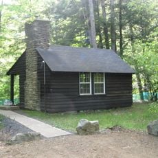
The facilities offer simple cabins with cooking equipment and campsites with electrical hookups that work well for longer stays. Group areas can accommodate up to 30 people and require advance booking during peak season.

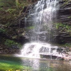
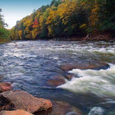
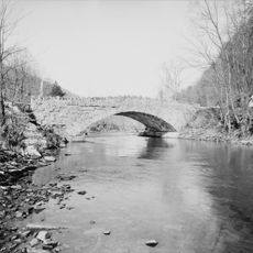
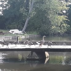
A dam from the 1930s pools the creek into a shallow swimming area popular with families who have children. The cool water offers relief on hot summer days, while gentle shores ease access.

The community of curious travelers

AroundUs brings together thousands of curated places, local tips, and hidden gems, enriched daily by 60,000 contributors worldwide.

Start exploring
Location
Inception
1932
Elevation above the sea
358 m
Operator
Pennsylvania Bureau of State Parks
GPS coordinates
41.47140,-76.56860
Latest update
December 20, 2025 16:11
Around this place
Ricketts Glen State Park
United States of America

Ricketts Glen State Park

29.7 km
Sonestown Covered Bridge
United States of America

Sonestown Covered Bridge

14 km
Clemuel Ricketts Mansion
United States of America

Clemuel Ricketts Mansion

24.6 km
Forksville Covered Bridge
United States of America

Forksville Covered Bridge

3.2 km
Hillsgrove Covered Bridge
United States of America

Hillsgrove Covered Bridge

8.6 km
Old Loggers Path
United States of America

Old Loggers Path

27.9 km
Loyalsock State Forest
United States of America

Loyalsock State Forest

13.4 km
Plunketts Creek Bridge No. 3
United States of America

Plunketts Creek Bridge No. 3

20.7 km
Muncy Creek
United States of America

Muncy Creek

35 km
State Game Lands Number 13
United States of America

State Game Lands Number 13

20 km
Central Mountain
United States of America

Central Mountain

26.6 km
Eagles Mere Historic District
United States of America

Eagles Mere Historic District

6.1 km
Creasyville Covered Bridge
United States of America

Creasyville Covered Bridge

30.2 km
United States of America

Sullivan County Courthouse

8.2 km
Eagles Mere Air Museum
United States of America

Eagles Mere Air Museum

6.8 km
Lairdsville Covered Bridge
United States of America

Lairdsville Covered Bridge

29.9 km
Sam Eckman Covered Bridge No. 92
United States of America

Sam Eckman Covered Bridge No. 92

33.4 km
Lake Rose
United States of America

Lake Rose

27.8 km
Muncy Historic District
United States of America

Muncy Historic District

34.9 km
Reading-Halls Station Bridge
United States of America

Reading-Halls Station Bridge

34.3 km
Y Covered Bridge No. 156
United States of America

Y Covered Bridge No. 156

26.5 km
Jud Christie Covered Bridge No. 95
United States of America

Jud Christie Covered Bridge No. 95

31.7 km
Cox Run
United States of America

Cox Run

33.5 km
Trout Pond Park
United States of America

Trout Pond Park

31.6 km
Worlds End State Park Family Cabin District
United States of America

Worlds End State Park Family Cabin District

794 m
Loyalsock Trail
United States of America

Loyalsock Trail

7 km
Houseknecht Farm
United States of America

Houseknecht Farm

33.3 km
Adams Falls
United States of America

Adams Falls

31.2 km
Show the full map
Reviews
Share your experience

No review yet

Discussions
Start a discussion...

No discussion yet

« Worlds End State Park - State park in Sullivan County, Pennsylvania » is provided by Around Us (aroundus.com). Images and texts are derived from Wikimedia project under a Creative Commons license. You are allowed to copy, distribute, and modify copies of this page, under the conditions set by the license, as long as this note is clearly visible.

Discover hidden gems everywhere you go!

From secret cafés to breathtaking viewpoints, skip the crowded tourist spots and find places that match your style. Our app makes it easy with voice search, smart filtering, route optimization, and insider tips from travelers worldwide. Download now for the complete mobile experience.

Around Us App Screenshot

A unique approach to discovering new places

Le Figaro

All the places worth exploring

France Info

A tailor-made excursion in just a few clicks

20 Minutes

Around Us
Travel Guide & Maps
Download

Send to your phone

QR Code
1

Open the camera app on your mobile.

2

Point at the QR code with your camera. A notification will appear.

3

Tap the notification to open the link.