Central Mountain, Mountain summit in Luzerne County, United States
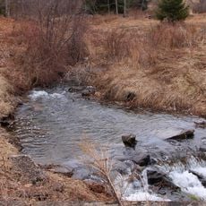
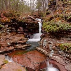
Central Mountain is a 685-meter summit extending across portions of Columbia, Luzerne, and Sullivan Counties in northeastern Pennsylvania. The peak sits within a forested ridge system that marks the local terrain throughout this area.
This region became a major center for anthracite coal mining in Pennsylvania during the 1800s and early 1900s. The surrounding landscape bore the marks of intensive mining operations that defined the area's economy during that period.
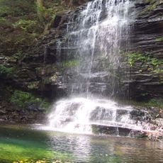
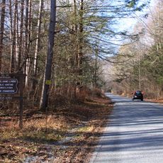
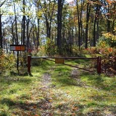
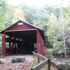
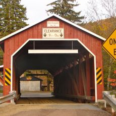
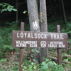
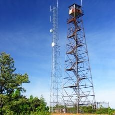
This summit is a common destination for hikers exploring the ridge system of northeastern Pennsylvania. The peak attracts people seeking outdoor recreation in this rural, forested region.
The summit is accessible via multiple marked trails starting from different trailheads around the mountain. Spring and fall weather provides ideal conditions for hiking, with mild temperatures and good visibility.
The peak marks where three Pennsylvania counties meet, serving as a natural boundary intersection point. Standing at this location allows visitors to occupy three county territories simultaneously.
Location: Columbia County
Location: Luzerne County
Location: Sullivan County
Elevation above the sea: 685 m
GPS coordinates: 41.30008,-76.34633
Latest update: December 13, 2025 11:42
Ricketts Glen State Park
8.4 km
Sonestown Covered Bridge
18.2 km
Clemuel Ricketts Mansion
6.2 km
State Game Lands Number 13
7 km
State Game Lands Number 55
21.5 km
Eagles Mere Historic District
23.2 km
Twin Bridges-East Paden Covered Bridge No. 120
21.5 km
Creasyville Covered Bridge
13.8 kmSullivan County Courthouse
18.5 km
Eagles Mere Air Museum
20.3 km
Bittenbender Covered Bridge
16.7 km
Stillwater Covered Bridge No. 134
16.5 km
Sam Eckman Covered Bridge No. 92
18.2 km
Twin Bridges-West Paden Covered Bridge No. 121
21.5 km
Lake Rose
5.4 km
Josiah Hess Covered Bridge No. 122
20.6 km
Welle Hess Covered Bridge No. S1
22 km
George W. Search House
23.3 km
Shoemaker Covered Bridge
23 km
Y Covered Bridge No. 156
1.9 km
Jud Christie Covered Bridge No. 95
15.7 km
Bridge in Fishing Creek Township
17.1 km
Kramer Covered Bridge No. 113
21.2 km
Patterson Covered Bridge No. 112
22 km
Laurel Run
14.8 km
Loyalsock Trail
25.7 km
Adams Falls
6 km
Grand View Fire Tower
3.2 kmVisited this place? Tap the stars to rate it and share your experience / photos with the community! Try now! You can cancel it anytime.
Discover hidden gems everywhere you go!
From secret cafés to breathtaking viewpoints, skip the crowded tourist spots and find places that match your style. Our app makes it easy with voice search, smart filtering, route optimization, and insider tips from travelers worldwide. Download now for the complete mobile experience.
A unique approach to discovering new places❞
— Le Figaro
All the places worth exploring❞
— France Info
A tailor-made excursion in just a few clicks❞
— 20 Minutes