Columbia County, Administrative division in northeastern Pennsylvania, United States.
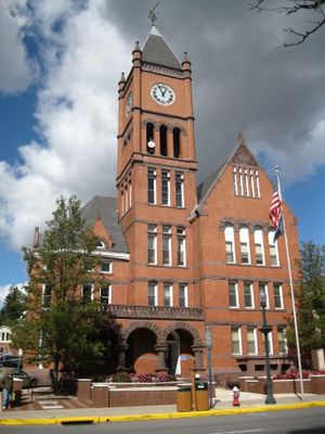
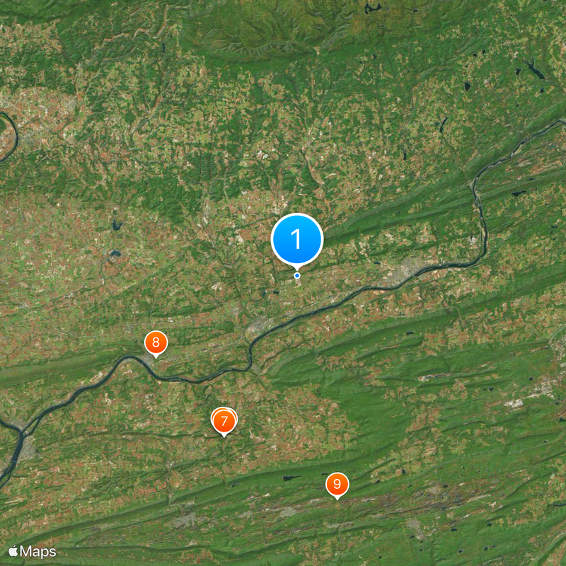
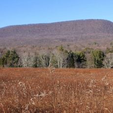
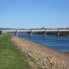
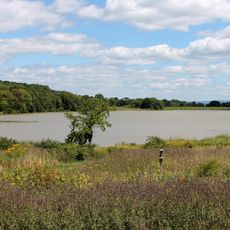
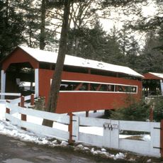
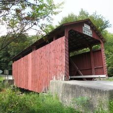
Columbia County is an administrative division in northeastern Pennsylvania, with the Susquehanna River flowing through its various communities and shaping the landscape. Bloomsburg serves as a main town within the region, with several smaller settlements scattered throughout the area.
The county was officially established in 1813 when the Pennsylvania General Assembly separated it from Northumberland County to create independent local governance. This split allowed the growing communities to manage their own affairs more directly.
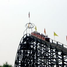
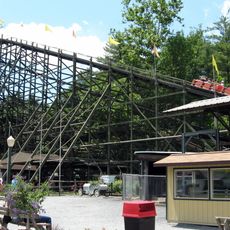
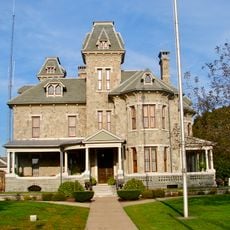
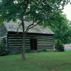
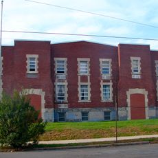
The coal mining past runs deep through the southern communities, shaping how the places look and feel today. Visitors can see preserved buildings and learn how this work once defined daily life here.
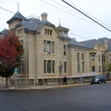
Bloomsburg and other towns in the area are easily walkable, with central areas that visitors can explore on foot around main streets and town squares. For visiting multiple communities across the region, having a car makes getting around more convenient.
The region operates an advanced emergency communication system that connects with Pennsylvania's statewide radio network, ensuring coordination during emergencies. This infrastructure demonstrates how modern safety technology serves rural areas.
Location: Pennsylvania
Inception: March 22, 1813
Capital city: Bloomsburg
Shares border with: Montour County, Northumberland County, Sullivan County, Luzerne County, Lycoming County, Schuylkill County
Website: http://columbiapa.org
GPS coordinates: 41.05000,-76.40000
Latest update: December 20, 2025 01:57
Knoebels Amusement Resort
21 km
Phoenix
21.1 km
Flying Turns
21 km
Impulse
20.8 kmBlack Diamond
21 km
Twister
21.1 km
Basilica of Saints Cyril and Methodius
19.6 km
Assumption of the Blessed Virgin Mary Ukrainian Catholic Church
27.3 km
St. Edward's Catholic Church
31.7 km
Central Mountain
28.2 km
Carl E. Stotz Memorial Little League Bridge
19.3 kmState Game Lands Number 58
16.4 km
High Speed Thrill Coaster
20.8 km
Rupert Covered Bridge No. 56
9.8 km
Jackson Mansion and Carriage House
13.9 km
State Game Lands Number 55
9.6 km
State Game Lands Number 226
18.7 km
Briar Creek Reservoir
9.8 kmWyoming State Forest
7.1 km
Twin Bridges-East Paden Covered Bridge No. 120
7.3 km
Jakey Hollow Natural Area
7.7 km
Catawissa Friends Meetinghouse
11.9 km
Creasyville Covered Bridge
18.8 kmState Game Lands Number 329
26.4 km
Bloomsburg Historic District
6.9 km
Wagner Covered Bridge No. 19
17.7 km
Berwick Armory
14 km
Thomas Beaver Free Library and Danville YMCA
20 kmVisited this place? Tap the stars to rate it and share your experience / photos with the community! Try now! You can cancel it anytime.
Discover hidden gems everywhere you go!
From secret cafés to breathtaking viewpoints, skip the crowded tourist spots and find places that match your style. Our app makes it easy with voice search, smart filtering, route optimization, and insider tips from travelers worldwide. Download now for the complete mobile experience.
A unique approach to discovering new places❞
— Le Figaro
All the places worth exploring❞
— France Info
A tailor-made excursion in just a few clicks❞
— 20 Minutes