Luzerne County

Log in to your account

AroundUs is a community-driven map of interesting places, built by curious explorers like you. It grows with every review, story, and photo you share.
Connect to save your favorite spots, contribute locations, and create personalized routes.
Continue with Google
Continue with Apple
Continue with X
Continue with Facebook
Continue with email
By continuing, you accept our Terms and Conditions and our Privacy Policy
Create an account
Add to collection
Map
Suggest a change
Share

Luzerne County, County administrative region in Pennsylvania, United States

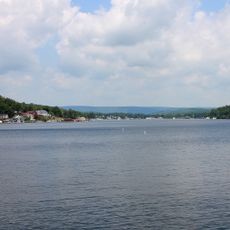
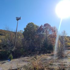
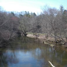
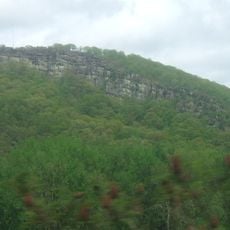
Luzerne County is an administrative region in northeastern Pennsylvania that follows the course of the Susquehanna River through a mix of towns and forested countryside. The area connects 76 municipalities spread across river valleys and wooded ridges where old mining settlements sit alongside newer residential zones.

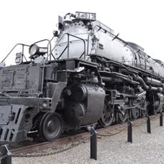
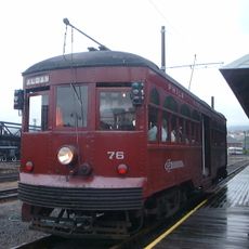
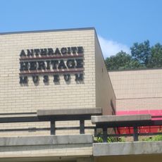
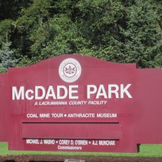
This administrative unit was created in September 1786 by separating it from Northumberland County and naming it after French diplomat Chevalier de la Luzerne. Coal deposits in the region drew workers and settlers from Europe over the following decades, shaping the economic and social fabric of the area for generations.

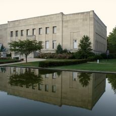
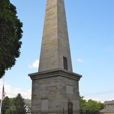
The Luzerne County Historical Society maintains records and artifacts documenting the area's coal mining heritage and European immigrant settlements.

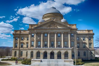
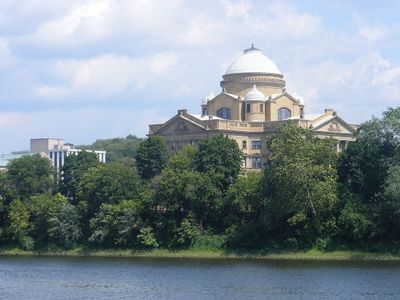
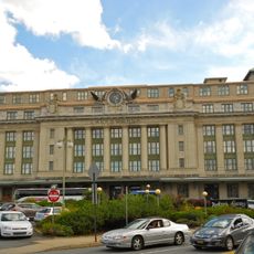
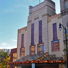
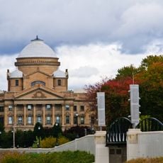
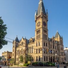
The administrative center is located in Wilkes-Barre, where visitors can find information about individual communities and offerings across the region. Public roads connect the different municipalities, with rural areas often having less infrastructure than the larger town centers.

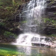
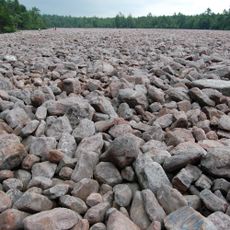
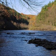
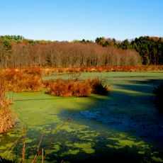
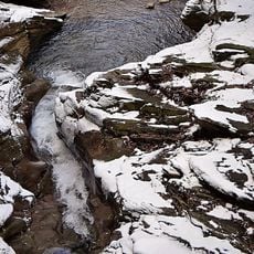
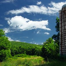
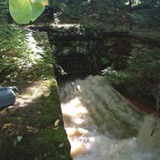
Four state parks lie within the borders of this region and offer opportunities for hiking, camping and observing waterfalls. Ricketts Glen is particularly known for its cascades, which tumble down rocky slopes through forested ravines.

Location: Pennsylvania

Inception: September 25, 1786

Capital city: Wilkes-Barre

Shares border with: Wyoming County, Lackawanna County, Monroe County, Carbon County, Schuylkill County, Columbia County, Sullivan County

Website: http://luzernecounty.org

GPS coordinates: 41.18000,-75.99000

Latest update: December 13, 2025 15:57

Photos
Around this place
Ricketts Glen State Park
United States of America

Ricketts Glen State Park

28.7 km
Hickory Run State Park
United States of America

Hickory Run State Park

30.3 km
Mohegan Sun Arena at Casey Plaza
United States of America

Mohegan Sun Arena at Casey Plaza

13.6 km
Wyoming Seminary
United States of America

Wyoming Seminary

12 km
United States of America

Lake Scranton

37.5 km
Nay Aug Park
United States of America

Nay Aug Park

38.1 km
Union Pacific 4012
United States of America

Union Pacific 4012

36.8 km
Lehigh Gorge State Park
United States of America

Lehigh Gorge State Park

30.7 km
Radisson Lackawanna Station Hotel
United States of America

Radisson Lackawanna Station Hotel

37.2 km
Harveys Lake
United States of America

Harveys Lake

21 km
Scranton Cultural Center
United States of America

Scranton Cultural Center

37.7 km
Frances Slocum State Park
United States of America

Frances Slocum State Park

19.6 km
Seven Tubs Natural Area
United States of America

Seven Tubs Natural Area

16 km
Angela Park
United States of America

Angela Park

16.5 km
United States of America

Huber Breaker

7.8 km
F.M. Kirby Center for the Performing Arts
United States of America

F.M. Kirby Center for the Performing Arts

11.6 km
Electric City Trolley Museum
United States of America

Electric City Trolley Museum

36.8 km
Nescopeck State Park
United States of America

Nescopeck State Park

13.7 km
United States of America

Moon Lake Park

9.5 km
Everhart Museum
United States of America

Everhart Museum

37.9 km
Luzerne County Courthouse
United States of America

Luzerne County Courthouse

12.2 km
Wyoming Monument
United States of America

Wyoming Monument

18.5 km
Jeddo Tunnel
United States of America

Jeddo Tunnel

19.5 km
Big Wapwallopen Creek
United States of America

Big Wapwallopen Creek

17.1 km
Campbell's Ledge
United States of America

Campbell's Ledge

25.8 km
Scranton City Hall
United States of America

Scranton City Hall

37.5 km
Pennsylvania Anthracite Heritage Museum
United States of America

Pennsylvania Anthracite Heritage Museum

34.7 km
McDade Park
United States of America

McDade Park

35.1 km
Show the full map
Reviews

Visited this place? Tap the stars to rate it and share your experience / photos with the community! Try now! You can cancel it anytime.

« Luzerne County - County administrative region in Pennsylvania, United States » is provided by Around Us (aroundus.com). Images and texts are derived from Wikimedia project under a Creative Commons license. You are allowed to copy, distribute, and modify copies of this page, under the conditions set by the license, as long as this note is clearly visible.

Discover hidden gems everywhere you go!

From secret cafés to breathtaking viewpoints, skip the crowded tourist spots and find places that match your style. Our app makes it easy with voice search, smart filtering, route optimization, and insider tips from travelers worldwide. Download now for the complete mobile experience.

Around Us App Screenshot

A unique approach to discovering new places

Le Figaro

All the places worth exploring

France Info

A tailor-made excursion in just a few clicks

20 Minutes