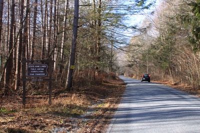
State Game Lands Number 13, Wildlife management area in Sullivan County, United States.
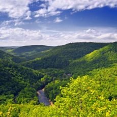
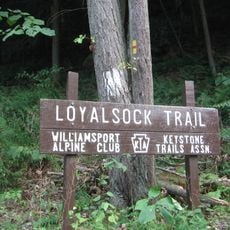
State Game Lands Number 13 is a public wildlife area in Sullivan County, Pennsylvania, covering forested mountain terrain with streams and waterfalls that run through both Sullivan and Columbia counties. Several road-side entry points give access to the land from different directions.
The land was set aside after 1930 as part of a statewide program to bring back wildlife populations across Pennsylvania that had declined sharply from logging and overhunting. Over the following decades, the forests grew back and the area gradually became the wooded landscape visitors see today.
The name "Number 13" stands out as an unusual label for a natural area, but it simply reflects the administrative numbering system used across Pennsylvania to catalogue public game lands. Hunters and hikers have come to use this shorthand naturally, and you will often hear locals refer to it that way without thinking twice.
The area is open for hiking and other non-motorized activities, with parking spots along the access roads that work well as starting points for walks. The terrain is hilly and forested, so sturdy footwear and enough water are a good idea before heading in.
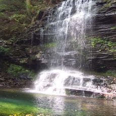
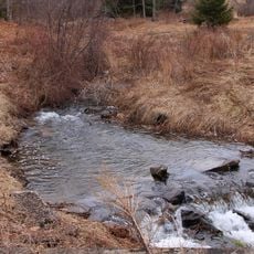
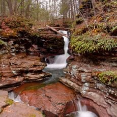
Sullivan Falls sits inside the land and drops through thick forest into a natural pool, making it one of the few waterfalls in this part of Pennsylvania that visitors can reach on foot without a long walk. The trailhead leading to it is not always clearly marked from the road, so checking a map before setting out saves time.
The community of curious travelers
AroundUs brings together thousands of curated places, local tips, and hidden gems, enriched daily by 60,000 contributors worldwide.