Chest opened
+${chestReward.xp} XP
Explorer
NOUVEAU ×${chestReward.collectible.quantity}
tapez pour fermer
Chest locked

Open chests in the app

Around Us is built for your phone — chests unlock when you walk, explore and capture nearby places.

Enable Location

We need your location to show you interesting places around you

Discover nearby places

Find interesting locations and hidden gems around you

Precise directions

Get accurate directions and distances to places

Your location is never shared with other users. It's only used when you tap the location button.

Log in to your account

Start exploring — it's free

Trusted by 73,068 travelers worldwide

Continue with Google
Continue with Apple
or

We will send you a code to connect

By continuing, you accept our Terms and Conditions and our Privacy Policy

Check your inbox

We've sent a pincode in your inbox. Please enter the code below.

Harrington Township, New Jersey
Discussion Reviews Photo
2.3k Popularity

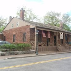
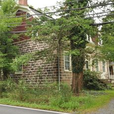
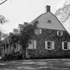
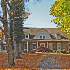
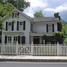
Harrington Township, New Jersey, Historical township in Bergen County, United States.

Harrington Township was a territory in Bergen County that stretched from the Hudson River on the eastern side to the Saddle River in the west, with the New York border to the north. The land included river crossings and areas suitable for early farming and settlement.

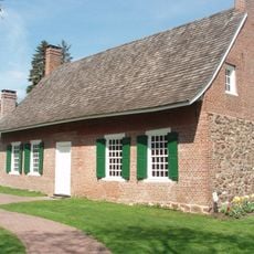
Harrington Township took its name from the Harring family, who established their settlement in 1633, initially spelled as Harington Township. The territory then underwent multiple divisions that led to the creation of separate municipalities.

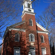
The township developed through multiple subdivisions, resulting in the formation of several independent municipalities including Oradell, Dumont, and Old Tappan.

This historical territory is not accessible as a single unified area today, as it was divided into multiple municipalities. To understand the history, visitors can explore the different neighboring communities that were formed from the original township.

The original Harrington Township had a notably long existence before being completely dissolved in the early 1900s. Its remaining lands were transformed into the present-day municipality of Northvale in 1916.

The community of curious travelers

AroundUs brings together thousands of curated places, local tips, and hidden gems, enriched daily by 60,000 contributors worldwide.

Start exploring
Location
GPS coordinates
41.00300,-73.95800
Latest update
December 13, 2025 12:25
Around this place
The Old 76 House
United States of America

The Old 76 House

2.2 km
Major John Andre Monument
United States of America

Major John Andre Monument

2.1 km
DeWint House
United States of America

DeWint House

2.1 km
Reformed Church of Tappan
United States of America

Reformed Church of Tappan

2.3 km
Church of the Holy Communion
United States of America

Church of the Holy Communion

857 m
Tappan Historic District
United States of America

Tappan Historic District

2.2 km
Harold Hess Lustron House
United States of America

Harold Hess Lustron House

3.7 km
Terhune House
United States of America

Terhune House

809 m
Blauvelt House
United States of America

Blauvelt House

1.4 km
Presbyterian Church of Norwood
United States of America

Presbyterian Church of Norwood

574 m
Abram Demaree House
United States of America

Abram Demaree House

3.6 km
Gerrit Haring House
United States of America

Gerrit Haring House

2.7 km
Blanch-Haring House
United States of America

Blanch-Haring House

2 km
Frederick Haring House
United States of America

Frederick Haring House

2.4 km
Abraham A. Haring House
United States of America

Abraham A. Haring House

2.3 km
The Burton Store
United States of America

The Burton Store

2.3 km
Abner Concklin House
United States of America

Abner Concklin House

3.2 km
Haring-DeWolf House
United States of America

Haring-DeWolf House

2.9 km
William De Clark House
United States of America

William De Clark House

3 km
Haring-Blauvelt House
United States of America

Haring-Blauvelt House

1.2 km
Haring-Corning House
United States of America

Haring-Corning House

2.4 km
Closter Road-Oak Tree Road Historic District
United States of America

Closter Road-Oak Tree Road Historic District

3.5 km
Capt. Thomas Blanch House
United States of America

Capt. Thomas Blanch House

1.2 km
John Jacob Bogert House
United States of America

John Jacob Bogert House

3.6 km
Haring-Vervalen House
United States of America

Haring-Vervalen House

809 m
Teunis Haring House
United States of America

Teunis Haring House

2.1 km
Concklin-Sneden House
United States of America

Concklin-Sneden House

2.6 km
Nicholas Haring House
United States of America

Nicholas Haring House

2.4 km
Show the full map
Reviews
Share your experience

No review yet

Discussions
Start a discussion...

No discussion yet

« Harrington Township, New Jersey - Historical township in Bergen County, United States » is provided by Around Us (aroundus.com). Images and texts are derived from Wikimedia project under a Creative Commons license. You are allowed to copy, distribute, and modify copies of this page, under the conditions set by the license, as long as this note is clearly visible.

Discover hidden gems everywhere you go!

From secret cafés to breathtaking viewpoints, skip the crowded tourist spots and find places that match your style. Our app makes it easy with voice search, smart filtering, route optimization, and insider tips from travelers worldwide. Download now for the complete mobile experience.

Around Us App Screenshot

A unique approach to discovering new places

Le Figaro

All the places worth exploring

France Info

A tailor-made excursion in just a few clicks

20 Minutes

Around Us
Travel Guide & Maps
Download

Send to your phone

QR Code
1

Open the camera app on your mobile.

2

Point at the QR code with your camera. A notification will appear.

3

Tap the notification to open the link.