
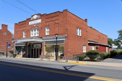
Moorefield Historic District
Moorefield Historic District, historic district in Moorefield, West Virginia
Location: Moorefield
Architectural style: Greek Revival architecture, Renaissance Revival architecture
Elevation above the sea: 249 m
GPS coordinates: 39.05972,-78.97000
Latest update: March 10, 2025 03:27
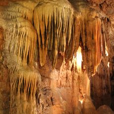
Smoke Hole Caverns
26.9 km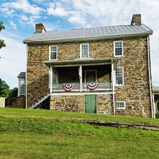
Sloan–Parker House
30.1 km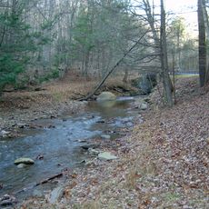
Lost River State Park
18.8 km
Bear Rocks Preserve
28.4 km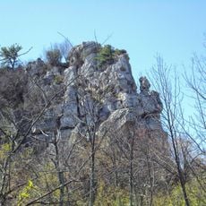
Big Schloss
29.4 km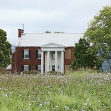
Fort Pleasant
8.4 km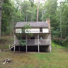
Lighthorse Harry Lee Cabin
18.8 km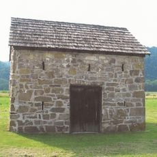
Fort Van Meter (Hampshire County, West Virginia)
22.5 km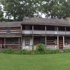
John Mathias House
22.1 km
Clifford Hollow Bridge
8.7 km
Kuykendall Polygonal Barn
22.4 km
Garrett VanMeter House
9.1 km
Old Judy Church
30.4 km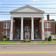
Grant County Courthouse
15 km
Nathaniel and Isaac Kuykendall House
29.9 km
Travelers Rest
31.2 km
Buena Vista Farms
8 km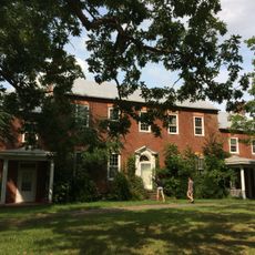
Hickory Hill
11 km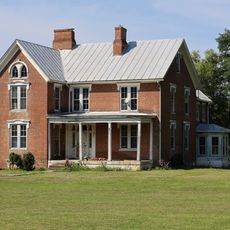
P.W. Inskeep House
1.6 km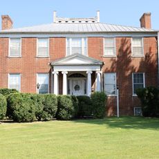
Thomas Maslin House
76 m
Burlington Historic District
31 km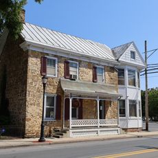
Old Stone Tavern
156 m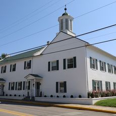
Old Hardy County Courthouse
293 m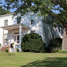
Judge J. W. F. Allen House
797 m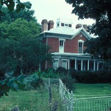
Wilson-Kuykendall Farm
2.7 km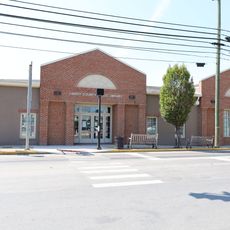
Hardy County Public Library
296 m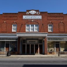
McCoy's Grand Theatre
348 m
Grant County Public Library
15.4 kmReviews
Visited this place? Tap the stars to rate it and share your experience / photos with the community! Try now! You can cancel it anytime.
Discover hidden gems everywhere you go!
From secret cafés to breathtaking viewpoints, skip the crowded tourist spots and find places that match your style. Our app makes it easy with voice search, smart filtering, route optimization, and insider tips from travelers worldwide. Download now for the complete mobile experience.

A unique approach to discovering new places❞
— Le Figaro
All the places worth exploring❞
— France Info
A tailor-made excursion in just a few clicks❞
— 20 Minutes