Willowdale State Forest, State forest in Topsfield, Massachusetts.
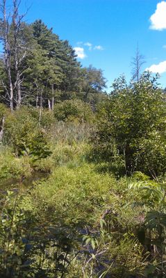
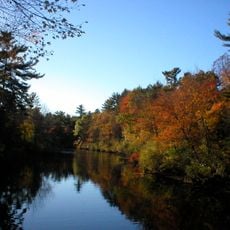
Willowdale State Forest is a wooded state forest in Topsfield, Massachusetts, made up of dense woodland and Hood Pond, a lake in the eastern part of the property. A main road divides the land into two sections, both accessible through a network of unpaved trails.
Massachusetts set aside this land in the 20th century as part of a broader effort to protect natural areas in the northeastern part of the state. Over time, the boundaries grew to include neighboring parcels, forming a larger connected stretch of protected land.
The forest draws different visitors depending on the season, from riders on horseback in summer to cross-country skiers in winter. Hood Pond is a gathering spot where people fish, swim, or simply sit by the water.
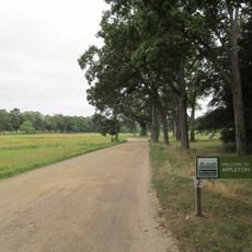
Parking is available along Ipswich Road, giving access to trails open to hikers, horse riders, and mountain bikers. The trails are not heavily marked, so bringing a map before entering the woods is a good idea.
The eastern edge of Willowdale runs along both Bradley Palmer State Park and the Ipswich River at the same point, linking two protected areas without any break. This makes it one of the few places in the region where wildlife can travel between large natural areas without crossing developed land.
The community of curious travelers
AroundUs brings together thousands of curated places, local tips, and hidden gems, enriched daily by 60,000 contributors worldwide.