
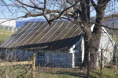
Shenandoah County Farm
Shenandoah County Farm, historic almshouse and poor farm located near Maurertown, Shenandoah County, Virginia
Location: Shenandoah County
GPS coordinates: 38.93278,-78.44778
Latest update: September 23, 2025 14:25
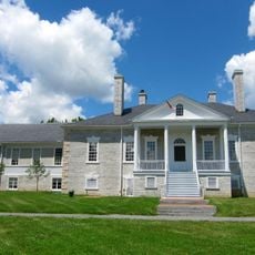
Belle Grove Plantation
15.7 km
Cedar Creek and Belle Grove National Historical Park
13.1 km
Elizabeth Furnace
10.8 km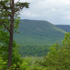
Shenandoah River Raymond R. "Andy" Guest Jr. State Park
15.2 km
Seven Bends State Park
9.4 km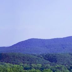
Signal Knob
10.6 km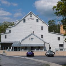
Edinburg Mill
16.2 km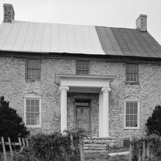
Fort Bowman
13 km
Edinburg Historic District
16 km
Daniel Munch House
9.6 km
Dr. Christian Hockman House
14.6 km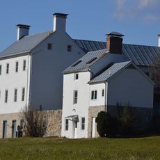
Abraham Beydler House
3 km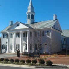
Shenandoah County Courthouse
7.6 km
Toms Brook School
1.3 km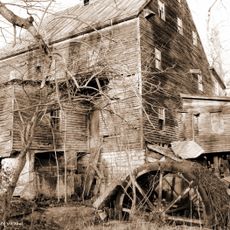
Lantz Mill
16.2 km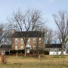
Mount Pleasant
12.4 km
Long Meadow
13.8 km
Hupp House
10.5 km
Strasburg Historic District
9.1 km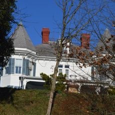
Campbell Farm
16 km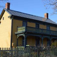
Bauserman Farm
3 km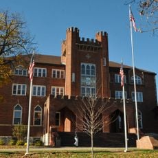
Lantz Hall
8.4 km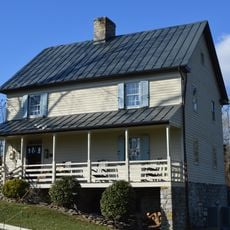
Snapp House
4.8 km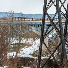
Page County Bridge No. 1990
16.5 km
John Miley Maphis House
16.7 km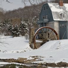
Stoner-Keller House and Mill
7.2 km
Woodstock Historic District
7.5 km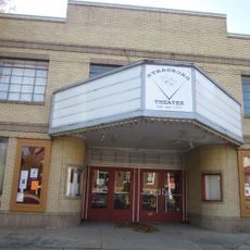
Strasburg Theater
9.7 kmVisited this place? Tap the stars to rate it and share your experience / photos with the community! Try now! You can cancel it anytime.
Discover hidden gems everywhere you go!
From secret cafés to breathtaking viewpoints, skip the crowded tourist spots and find places that match your style. Our app makes it easy with voice search, smart filtering, route optimization, and insider tips from travelers worldwide. Download now for the complete mobile experience.

A unique approach to discovering new places❞
— Le Figaro
All the places worth exploring❞
— France Info
A tailor-made excursion in just a few clicks❞
— 20 Minutes