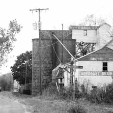
Shenandoah County, County in Virginia, United States
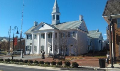
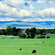
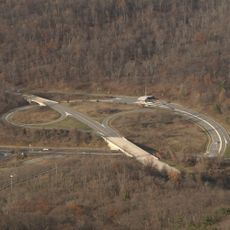
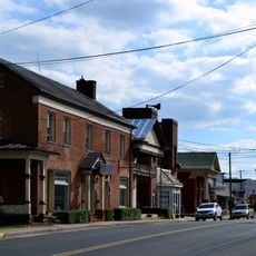
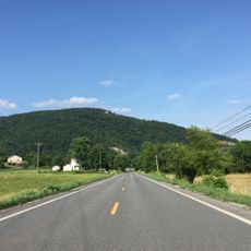
Shenandoah County spans about 512 square miles in the Shenandoah Valley, with Woodstock as its county seat. Interstate 81, US Route 11, and US Route 211 run through the region, connecting all major communities together.
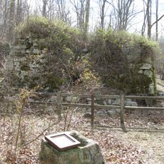
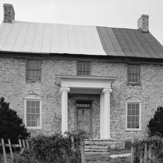
The area was established as Dunmore County in 1772, named after Virginia's last royal governor. During the American Revolution, the name changed to Shenandoah to break ties with colonial rule.
The name refers to Native American heritage, possibly from the Senedo people or Oneida chief John Skenandoa, reflecting deep ties to indigenous history. Visitors can explore this connection through local sites and cultural institutions.
The best time to explore is during mild months when roads and attractions are easily accessible. Visitors should use navigation apps, as counties cover large areas and services are spread across many miles.
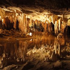
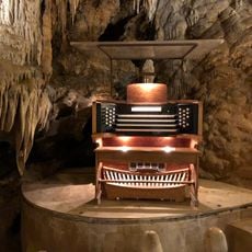
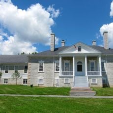
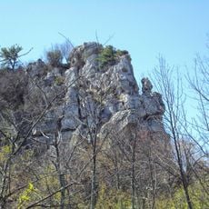
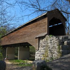
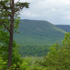
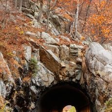
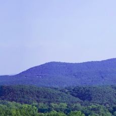
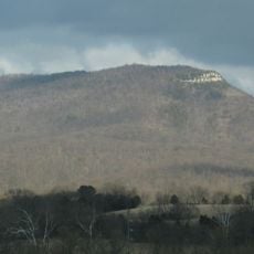
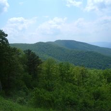
Sections of Cedar Creek and Belle Grove National Historical Park sit within its borders, along with portions of George Washington National Forest. This mix of protected history and woodland creates a diverse landscape for both nature lovers and history seekers.
Location: Virginia
Inception: 1772
Capital city: Woodstock
Shares border with: Frederick County, Warren County, Page County, Rockingham County, Hardy County
Website: http://shenandoahcountyva.us
GPS coordinates: 38.86000,-78.57000
Latest update: December 15, 2025 13:21
Luray Caverns
23 km
The Great Stalacpipe Organ
23 km
Belle Grove Plantation
29.1 km
Cedar Creek and Belle Grove National Historical Park
26.4 km
New Market Battlefield State Historical Park
23.2 km
Big Schloss
12.3 km
Elizabeth Furnace
22.8 km
Meems Bottom Covered Bridge
17.2 km
Thornton Gap
31 km
Shenandoah River Raymond R. "Andy" Guest Jr. State Park
23.1 km
Seven Bends State Park
6.9 km
Marys Rock Tunnel
32.1 km
Signal Knob
23.6 km
Short Mountain
9.2 km
Mount Jackson Historic District
14.2 km
Edinburg Mill
4.3 km
Zirkle Mill
21.1 km
John Mathias House
25.9 km
Milford Battlefield
20.6 km
Fort Bowman
26.3 km
Aventine Hall
23.7 km
Wilkins Farm
4.1 km
Neighbor Mountain
25.8 km
Fort Egypt
22.3 km
Fort Philip Long
28.3 km
Brocks Gap
35.1 km
Kanawha
24.1 km
Plains Mill
26.4 kmVisited this place? Tap the stars to rate it and share your experience / photos with the community! Try now! You can cancel it anytime.
Discover hidden gems everywhere you go!
From secret cafés to breathtaking viewpoints, skip the crowded tourist spots and find places that match your style. Our app makes it easy with voice search, smart filtering, route optimization, and insider tips from travelers worldwide. Download now for the complete mobile experience.
A unique approach to discovering new places❞
— Le Figaro
All the places worth exploring❞
— France Info
A tailor-made excursion in just a few clicks❞
— 20 Minutes