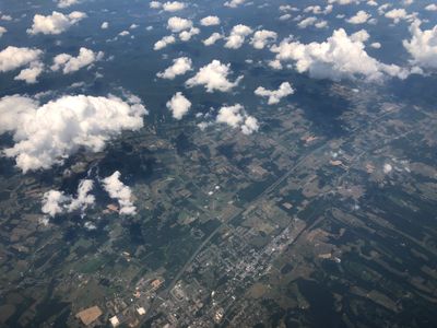
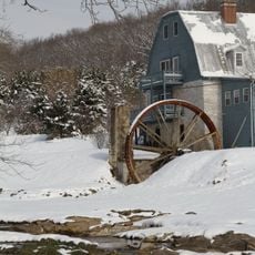
Woodstock, town in Shenandoah County, Virginia, United States
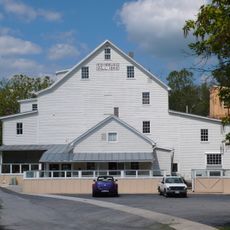
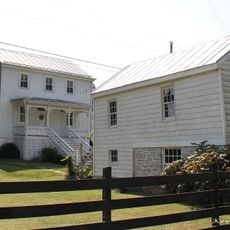
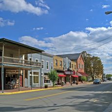
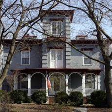
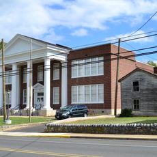
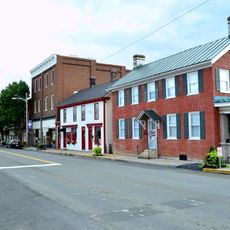
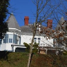
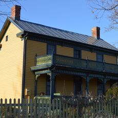
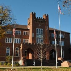
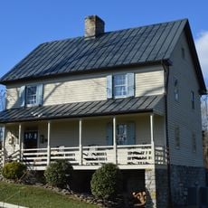
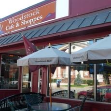
Woodstock is a town in Shenandoah County, Virginia that serves as the county seat. The town has a compact downtown area with historic buildings and sits in a valley surrounded by mountains.
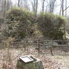
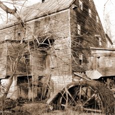
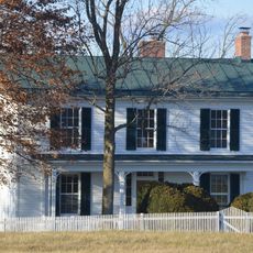
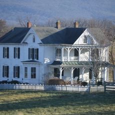
Woodstock was founded in the late 1700s and grew as an administrative and trading hub for the region. Its location near major historic routes made it a crossroads for commerce and travel.
The town is easy to reach by car and has a manageable downtown area that is comfortable to explore on foot. Parking is available near the main downtown area, and most shops and attractions are close together.
The community of curious travelers
AroundUs brings together thousands of curated places, local tips, and hidden gems, enriched daily by 60,000 contributors worldwide.